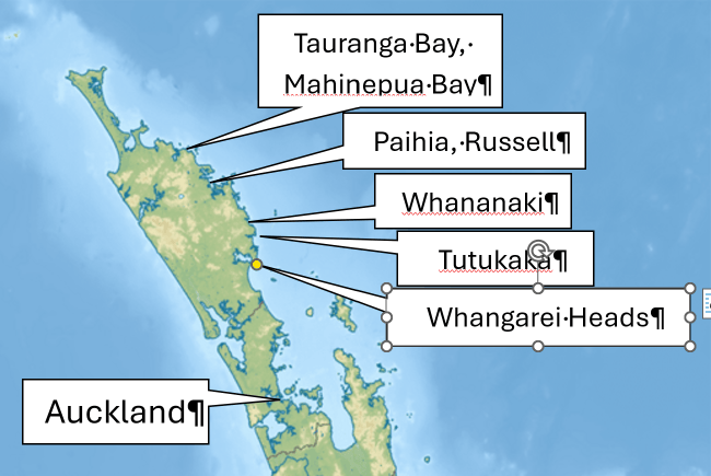
This page started as an account of a July 2026 road-trip from Wellington up to Kaitaia, then back down the east coast to Whangarei Heads, then south homewards. Then I started thinking that over the last few years (often in July or September, 2024-2026), we have explored a great deal of the north-east coast, particularly from Whangarei northwards, so why not devote a webpage specifically to this area, starting from as far north as you can go (Cape Reinga) and finishing on the edge of the Brynderwyn Hills.
It took me a while to realise that the Far North, down to Ahipara on the west coast and Mangonui on the east coast, has a distinct character of its own, worth at least one page of its own. So here we start at Tauranga Bay, on the coast out from Whangaroa Harbour. (July 2024).
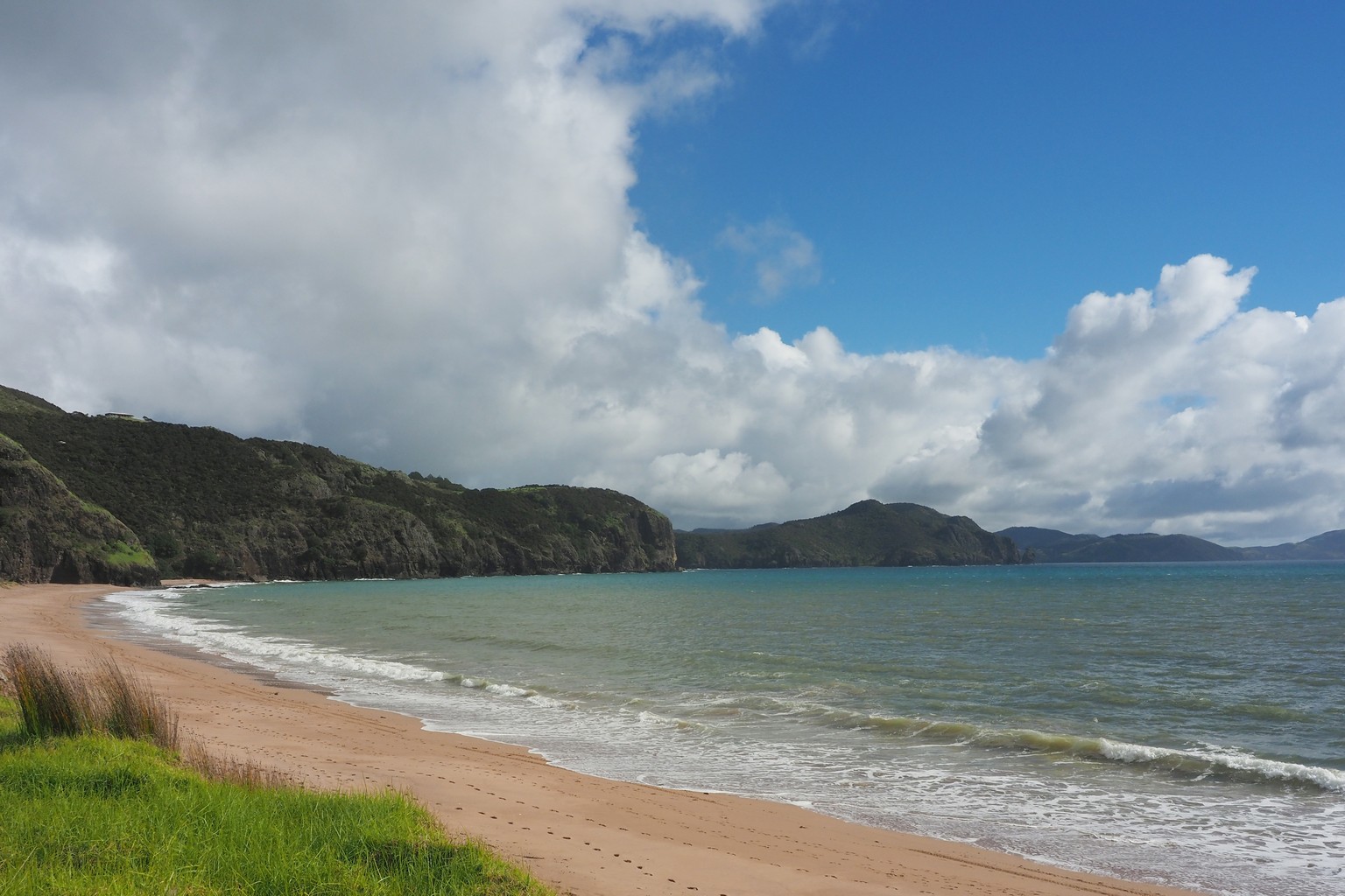
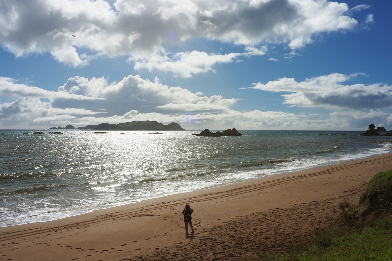
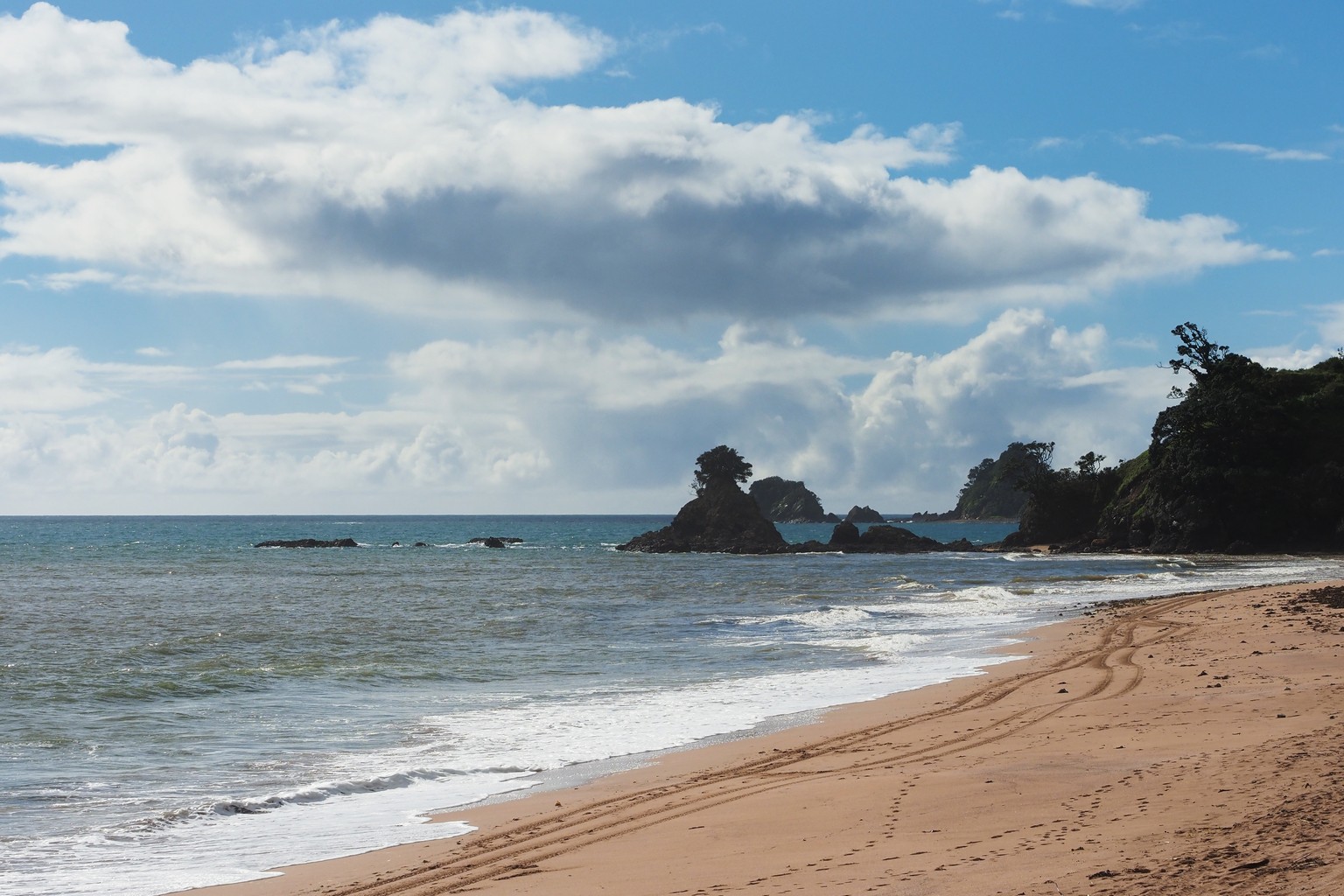
Tauranga Bay, east of Whangaroa Harbour entrance; Stephenson Island is the large island offshore.
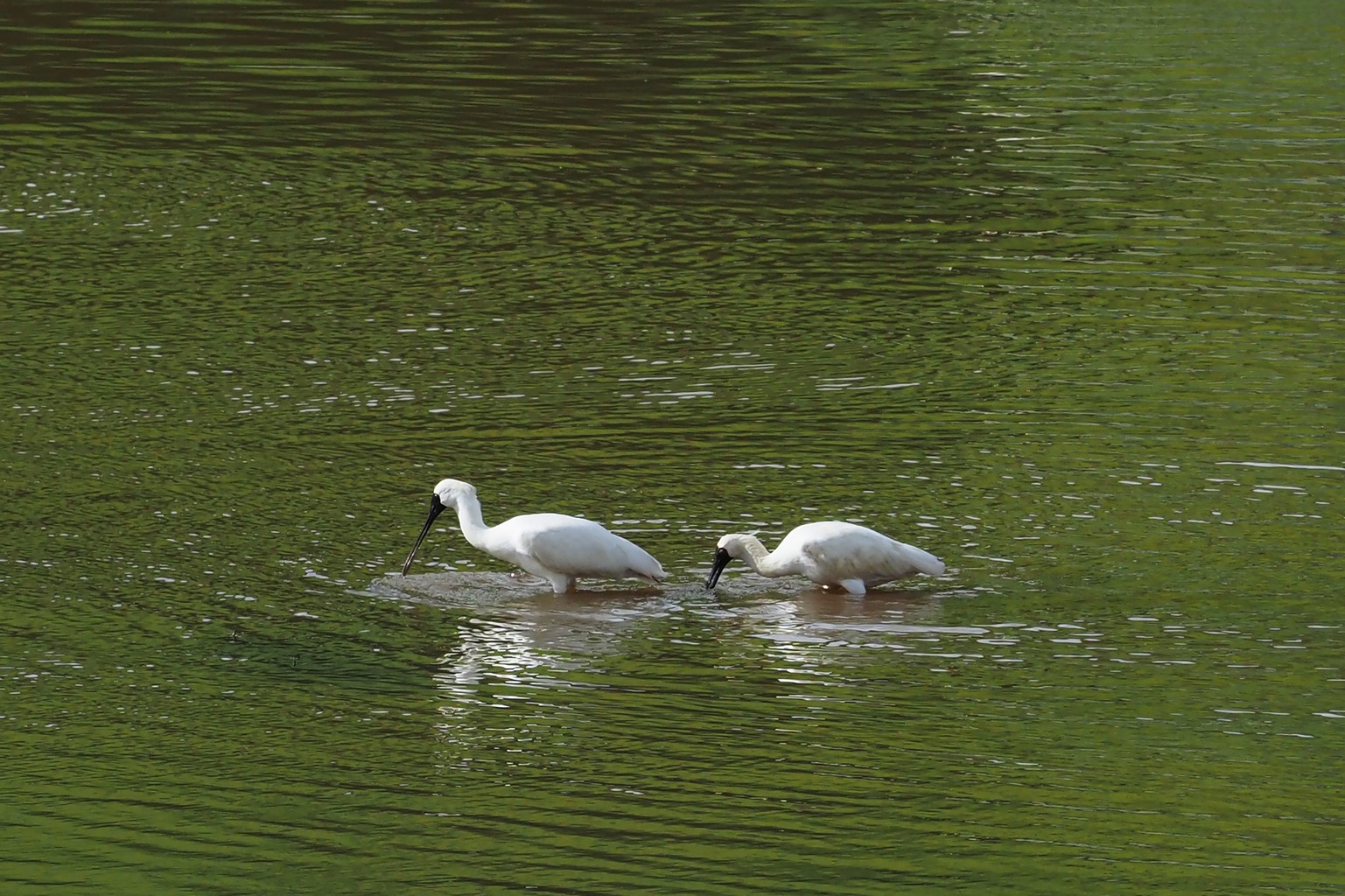
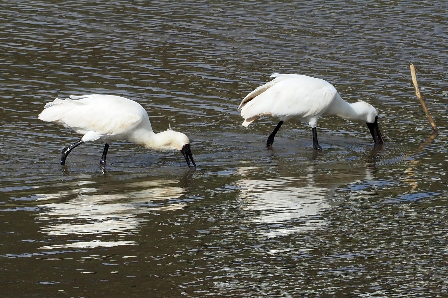
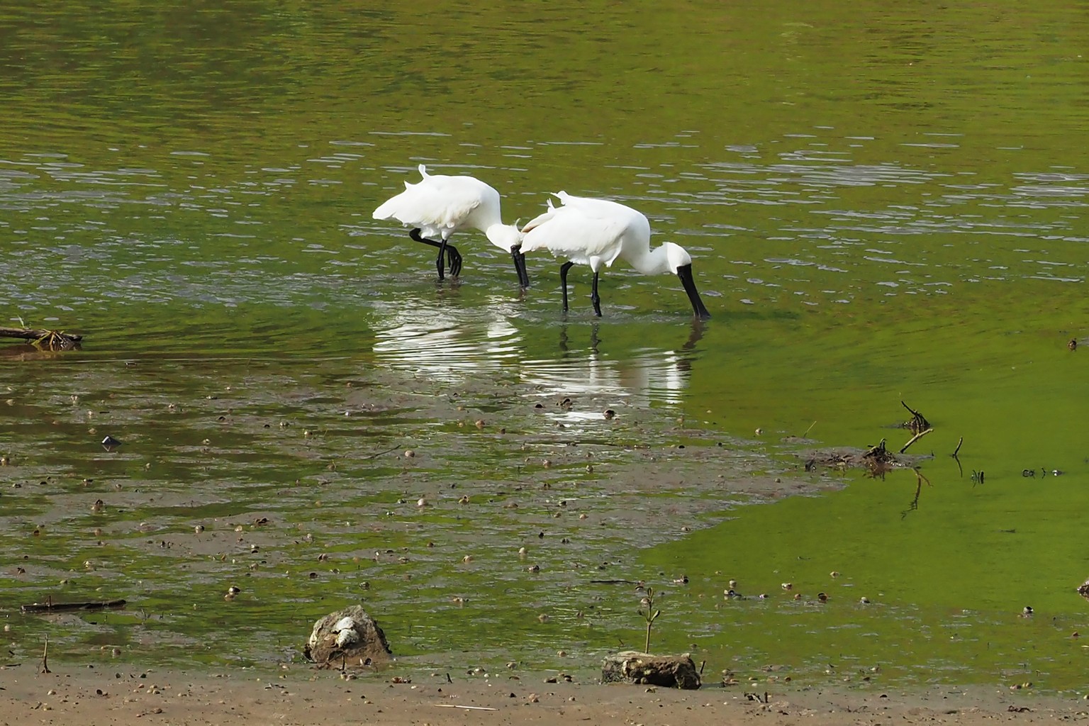
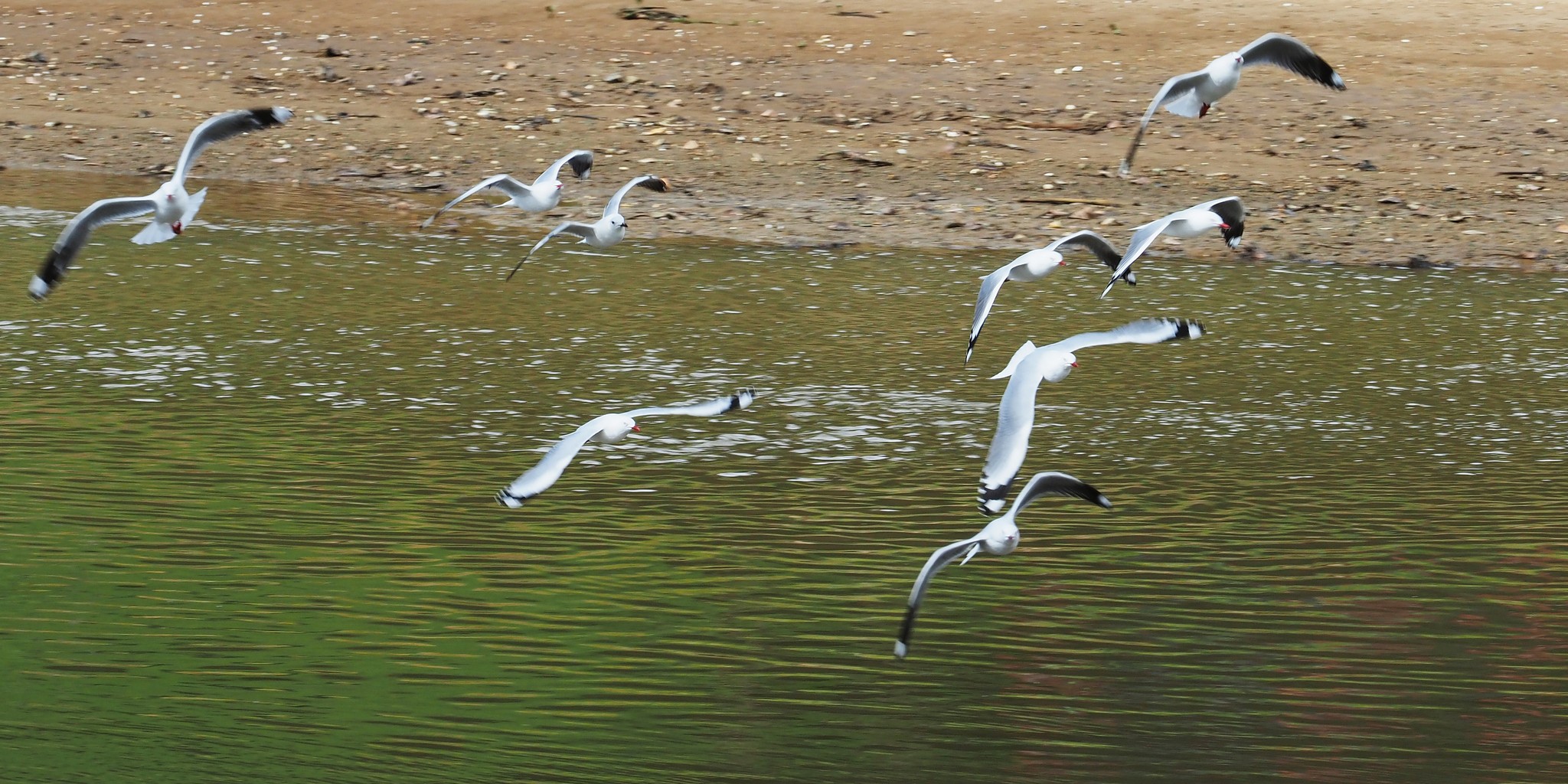
Tauranga Stream estuary: a pair of spoonbills feeding, while seagulls fly in formation overhead.
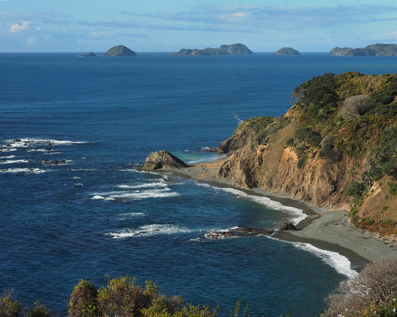
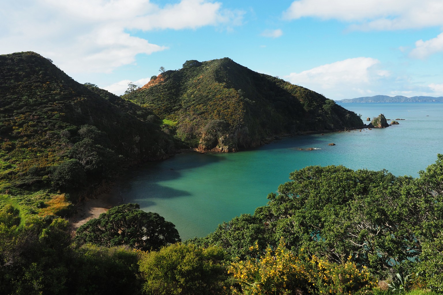
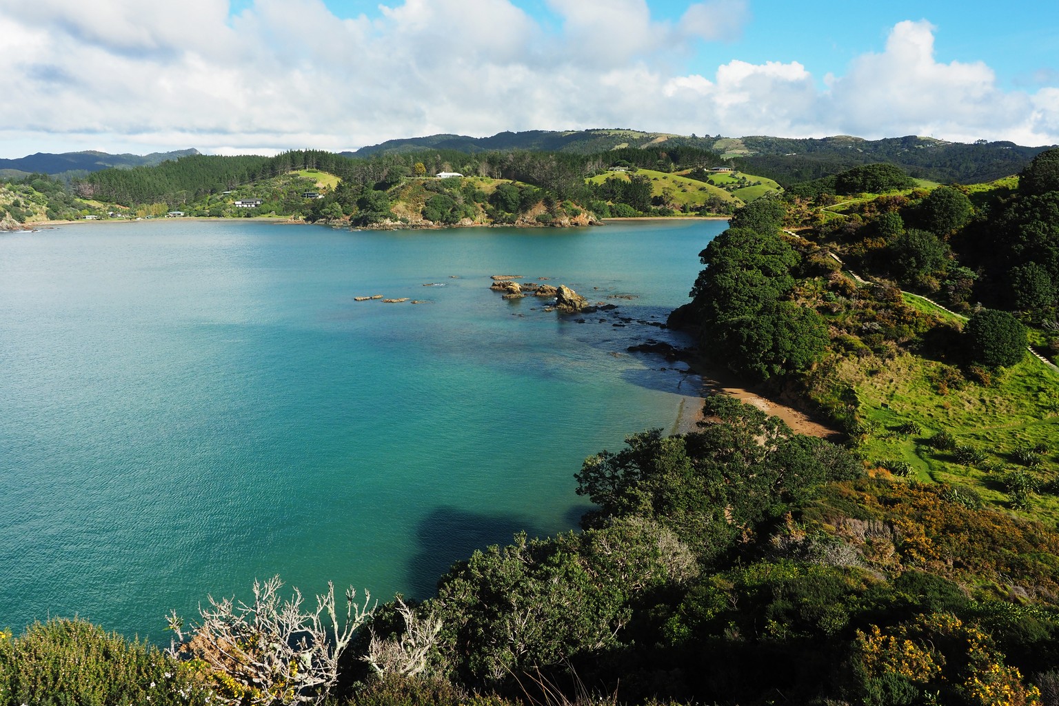
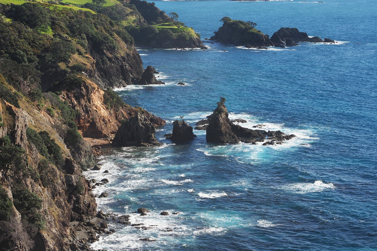
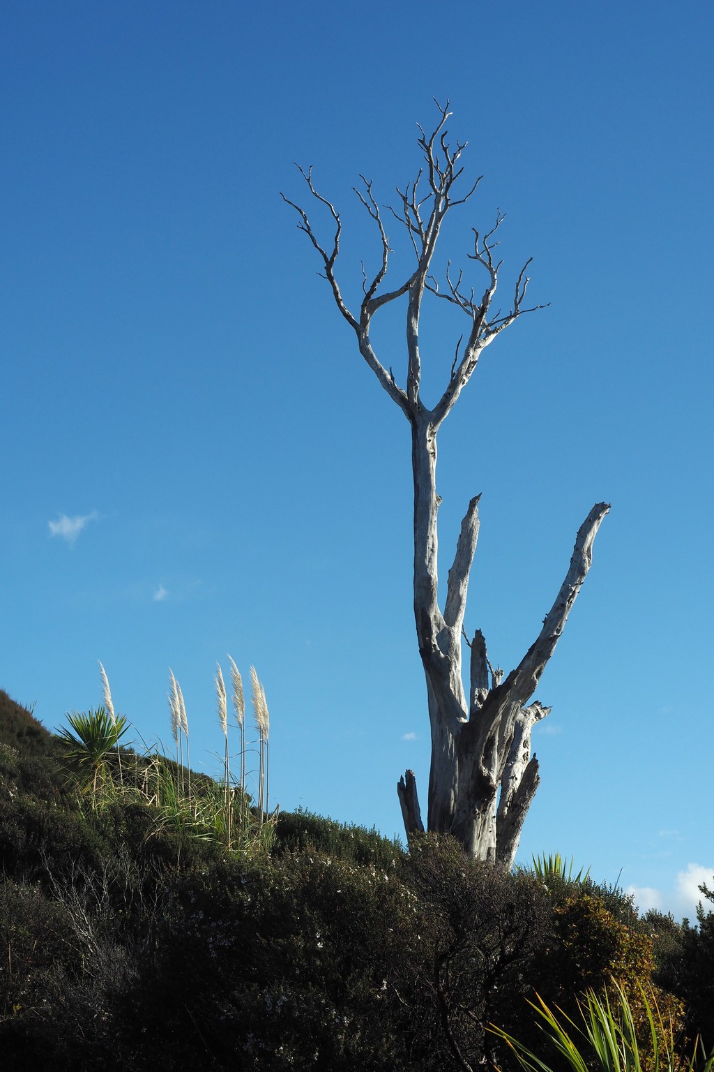
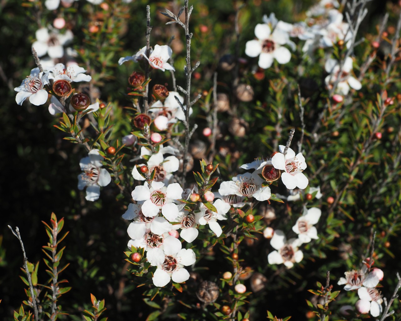
Mahinepua Peninsula: steep jagged cliffs to the north, secluded beaches to the south; the skeleton of a tree; manuka flowers.
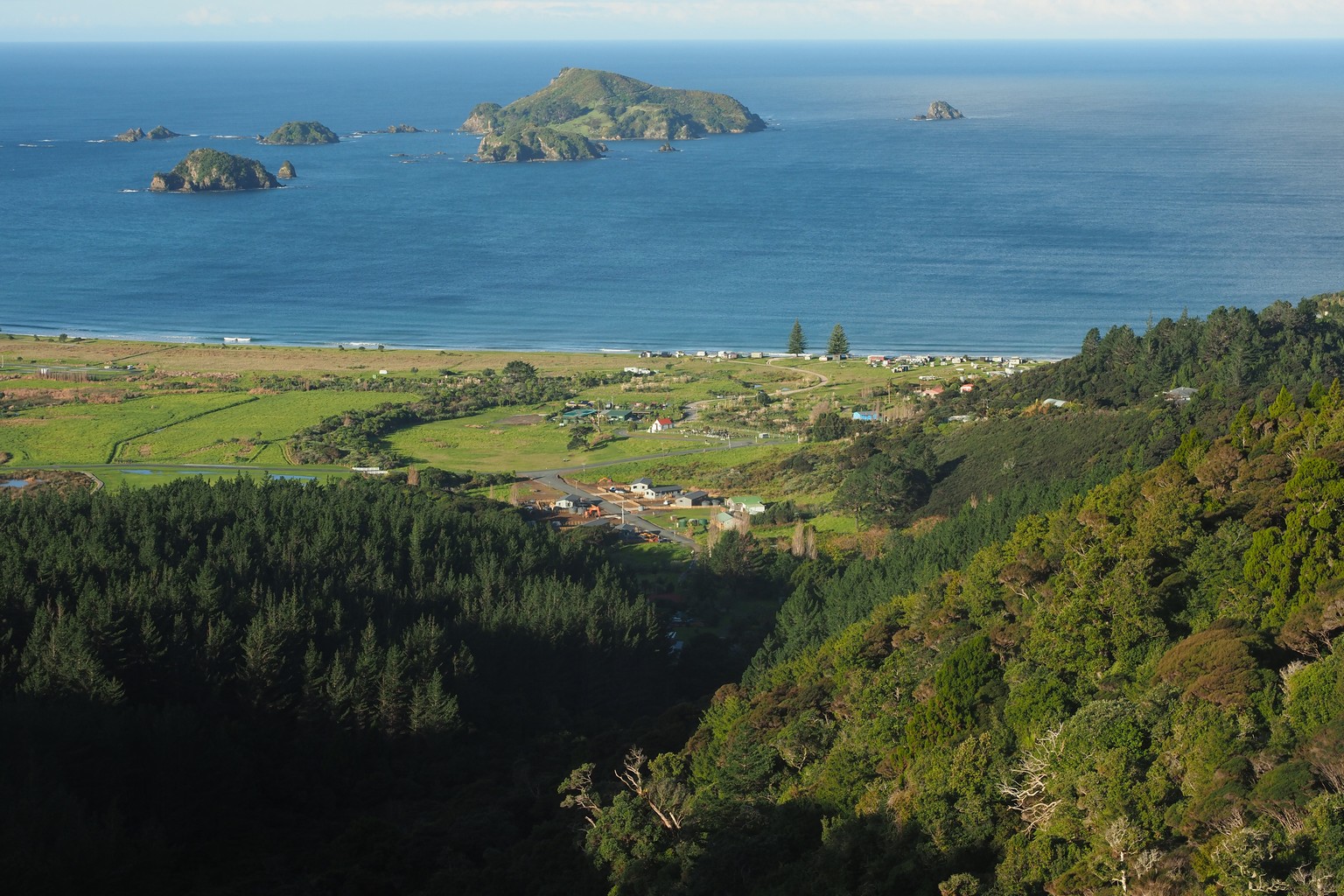
Looking down onto Matauri Bay, with the Cavalli Islands offshore.
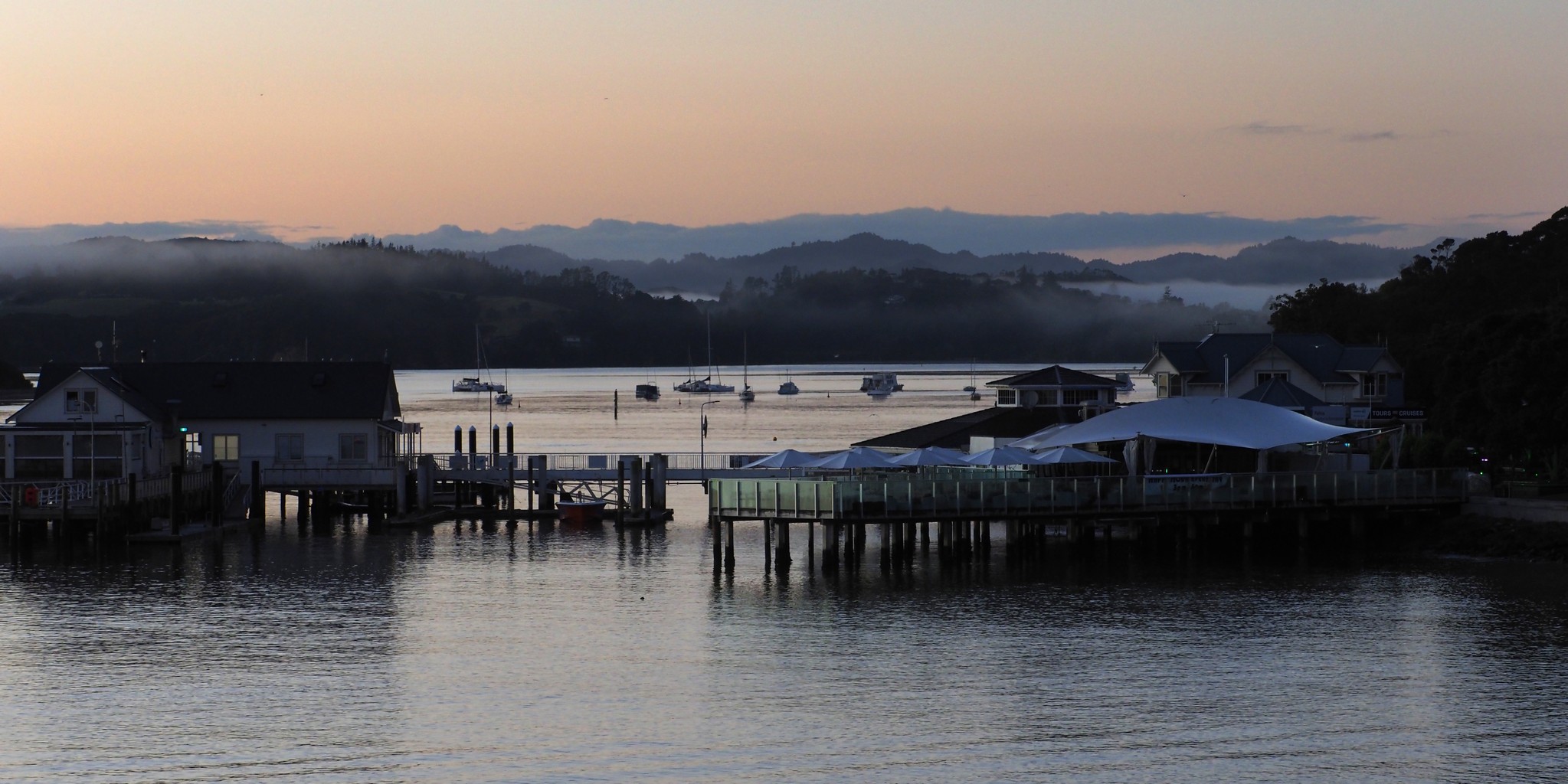
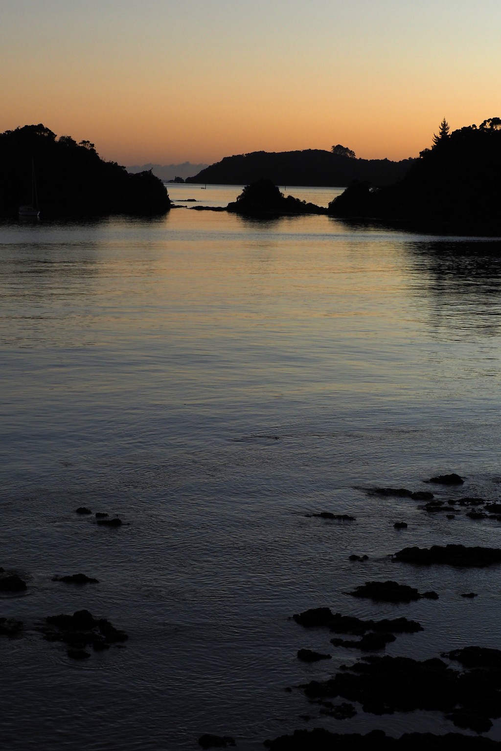
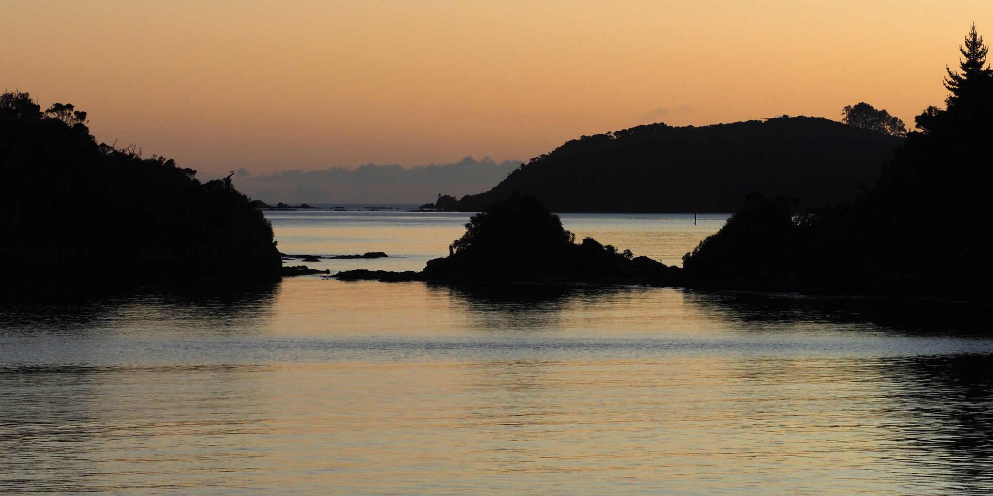
Paihia harbour at sunrise.
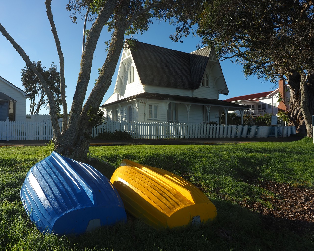
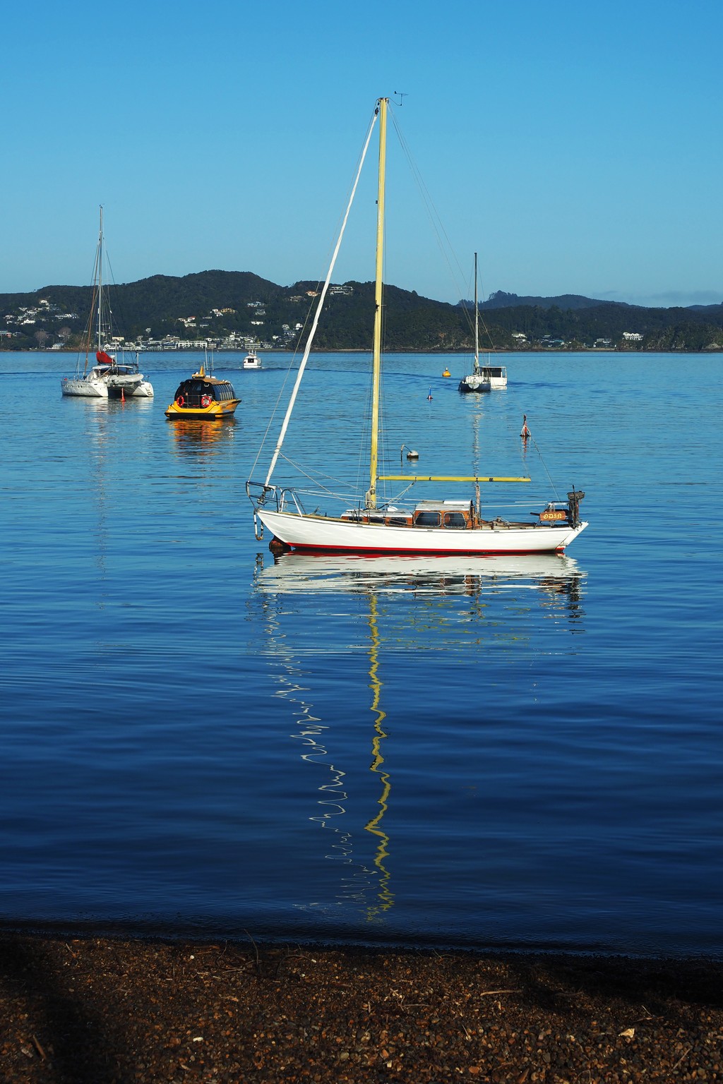
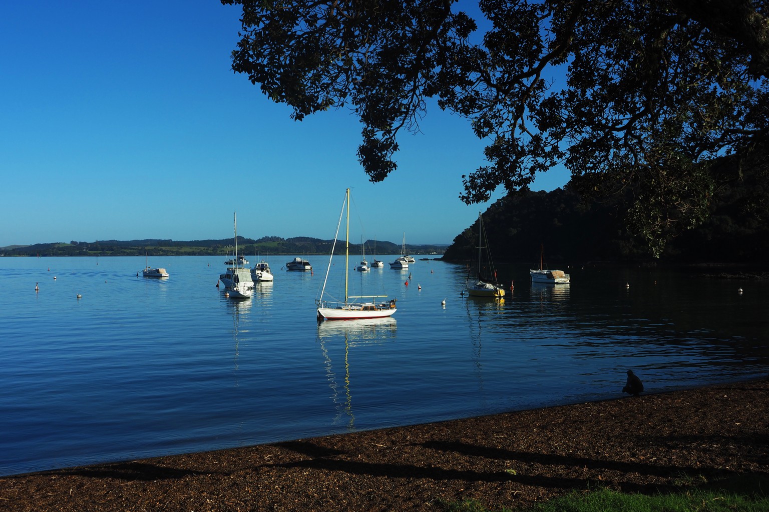
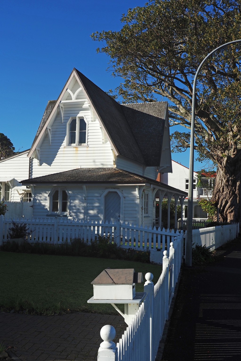
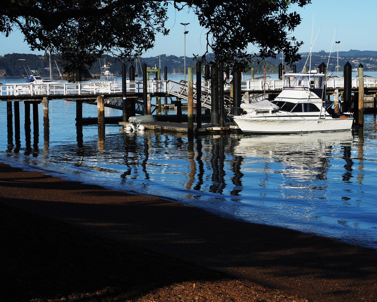
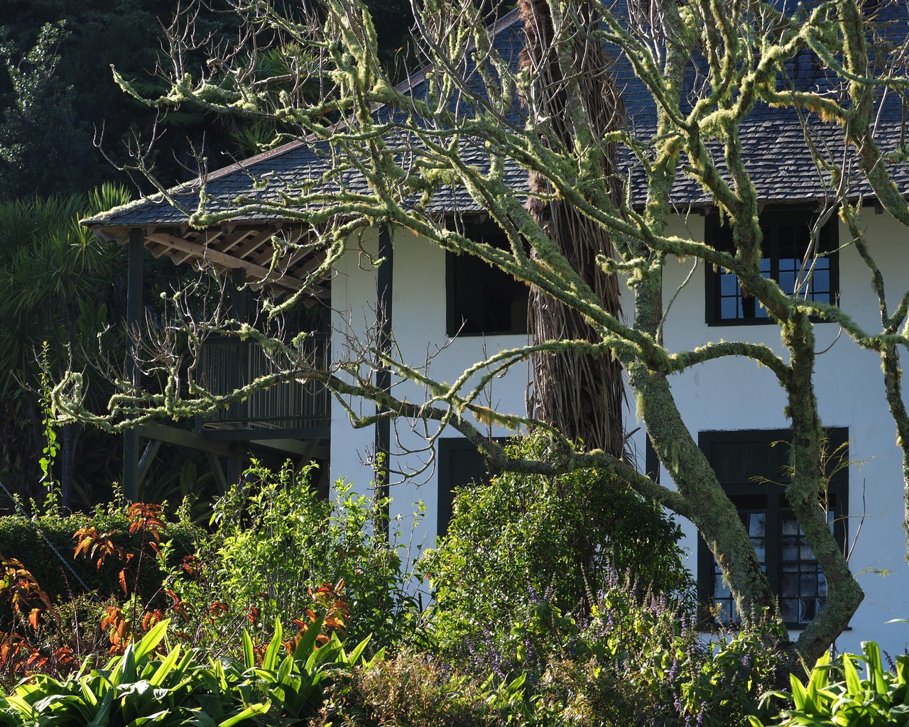
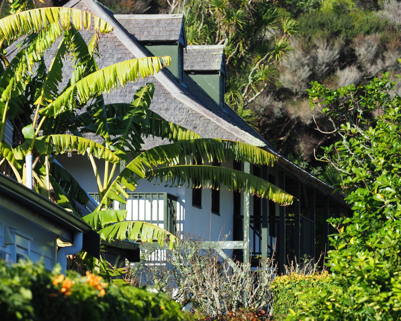
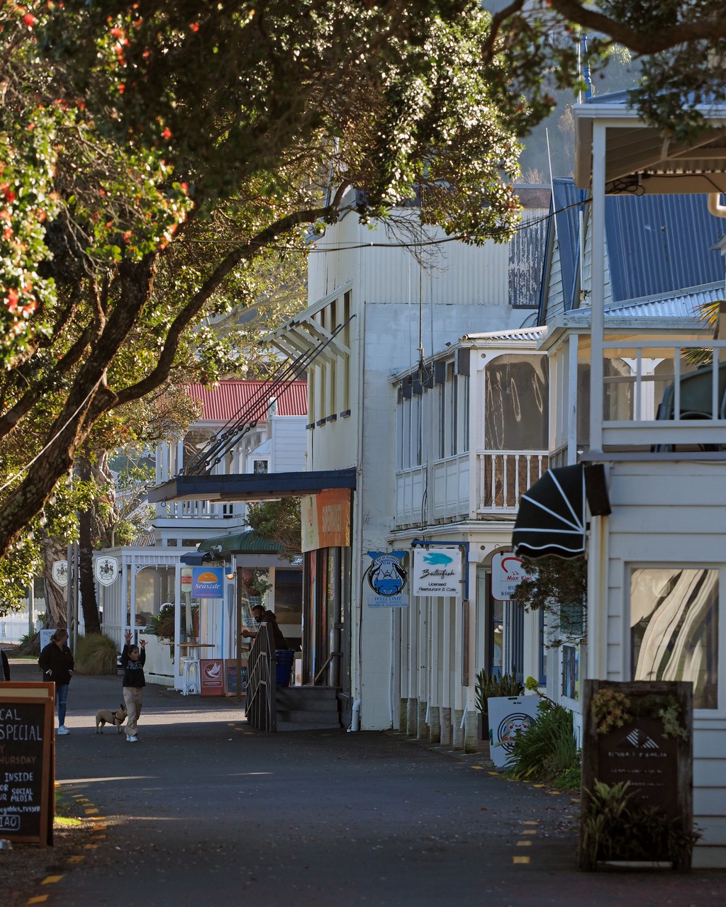
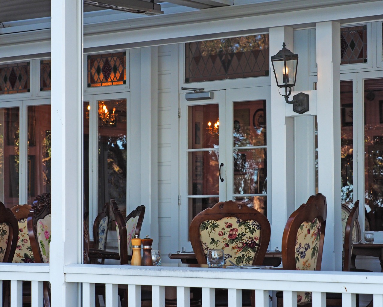
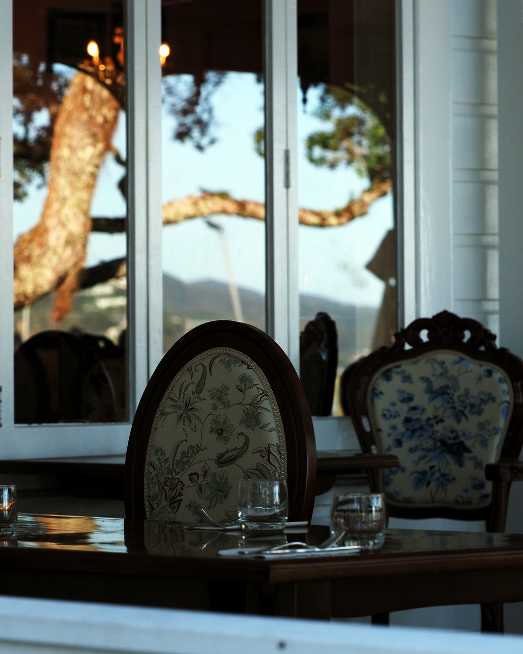
Russell – formerly Kororareka, “hell-hole of the Pacific”, now a quaint mix of history and recreational boating.
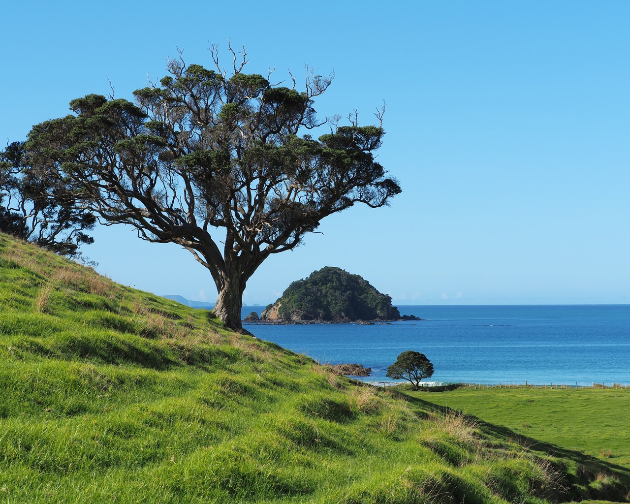
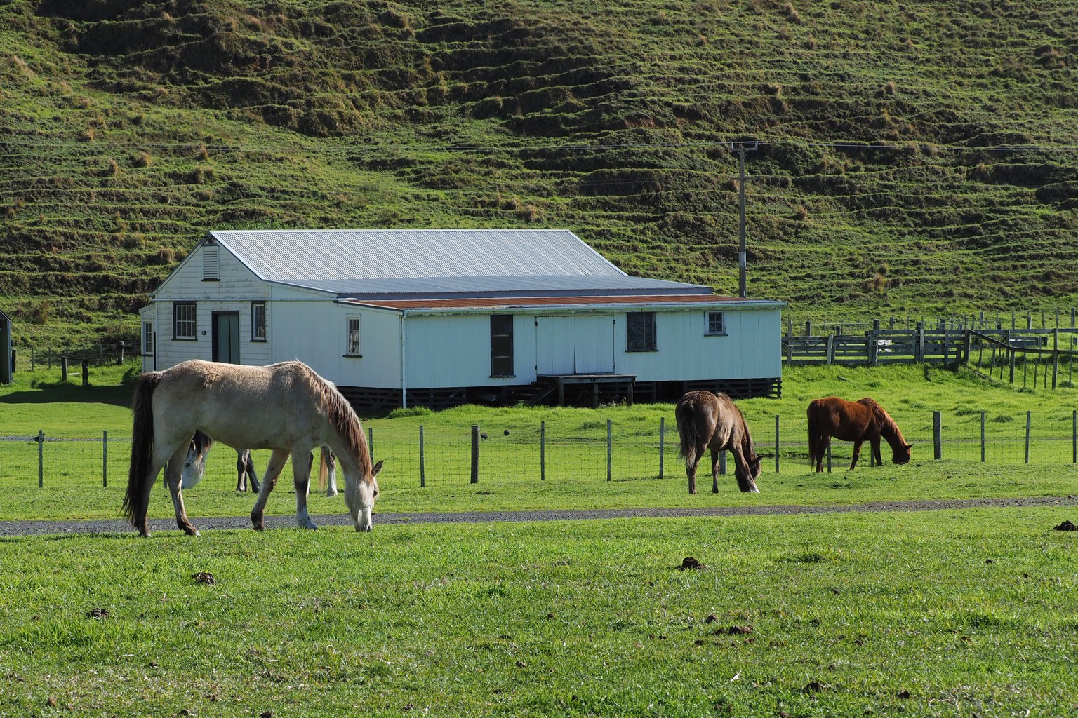
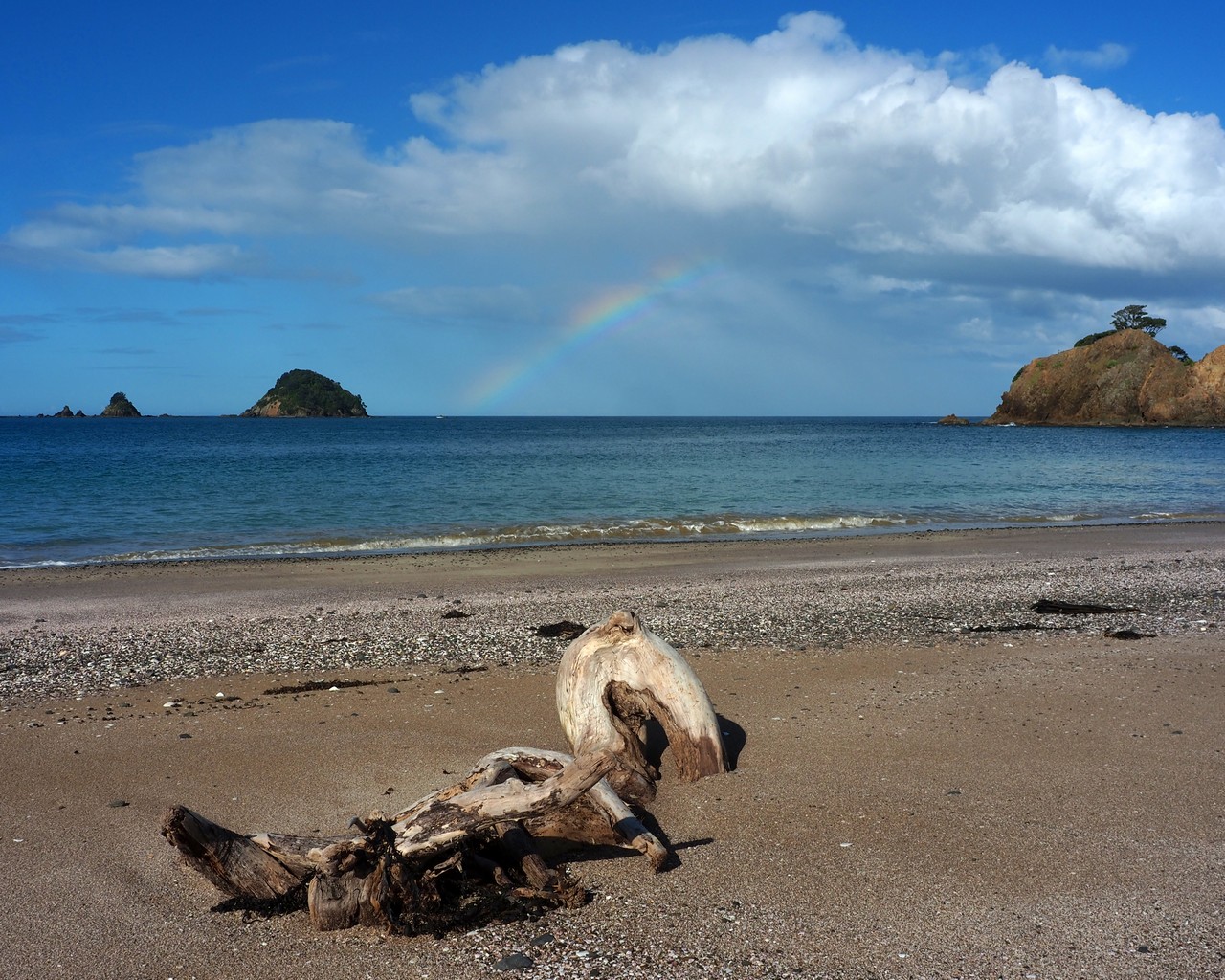
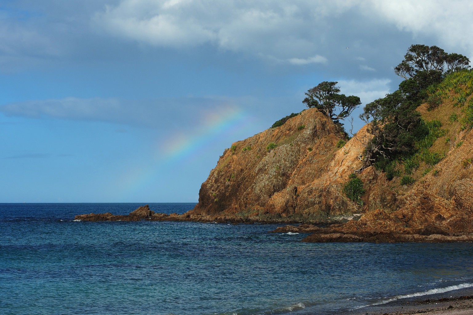
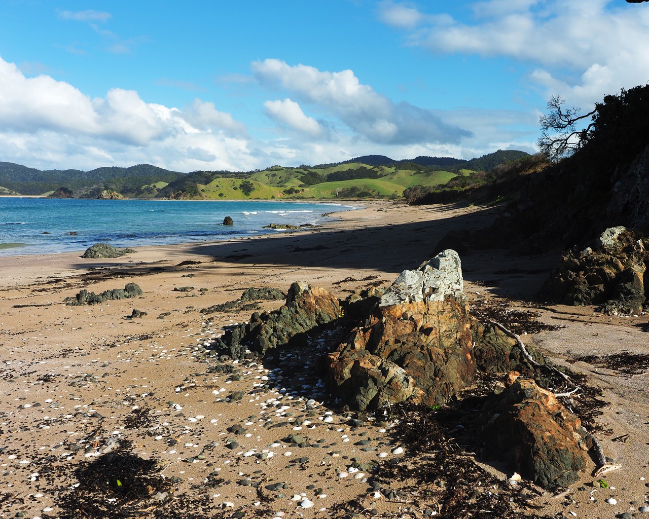
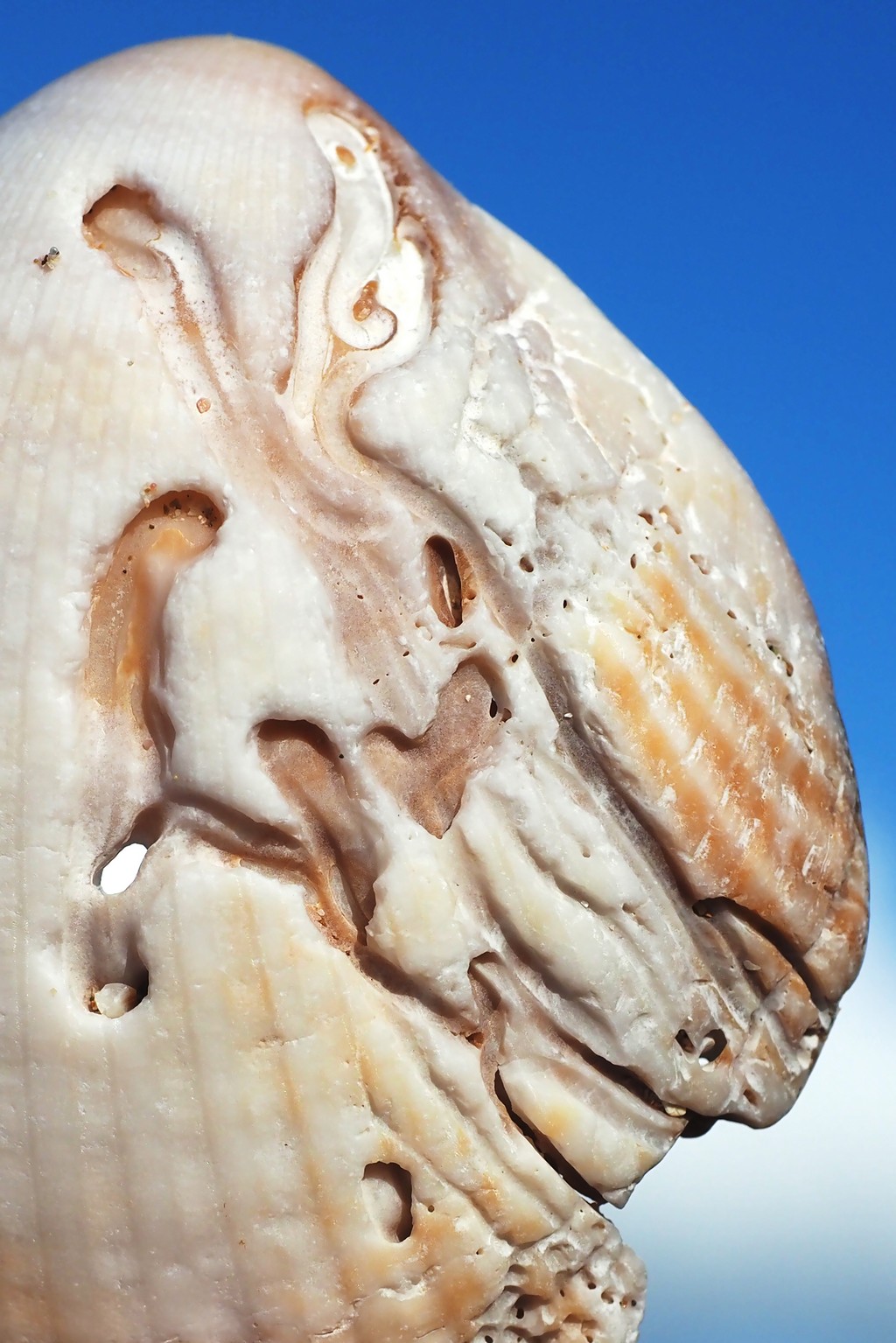
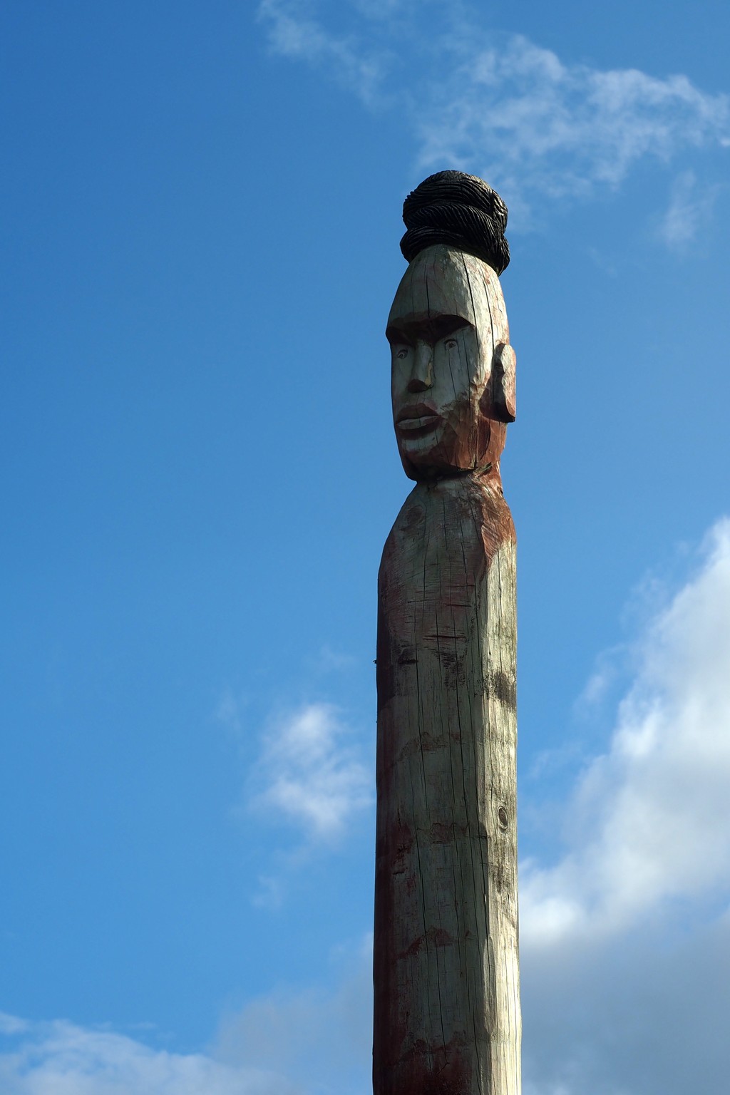
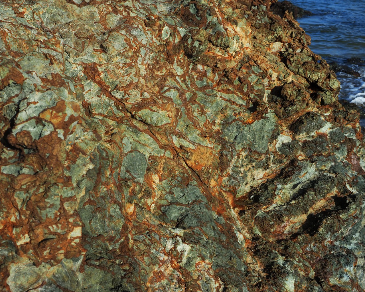
Mimiwhangata Peninsula and Okupe Beach.
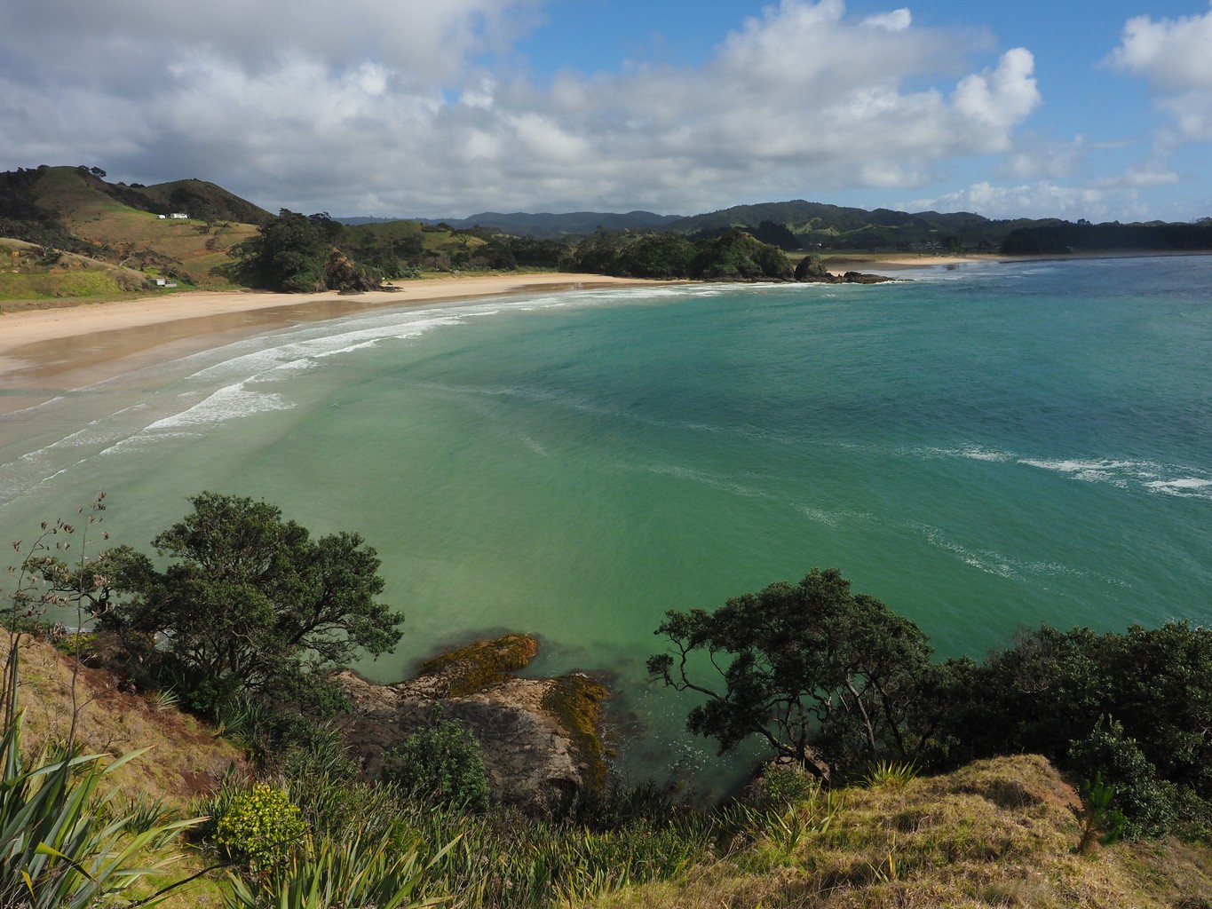
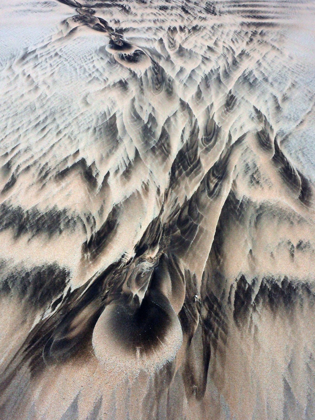
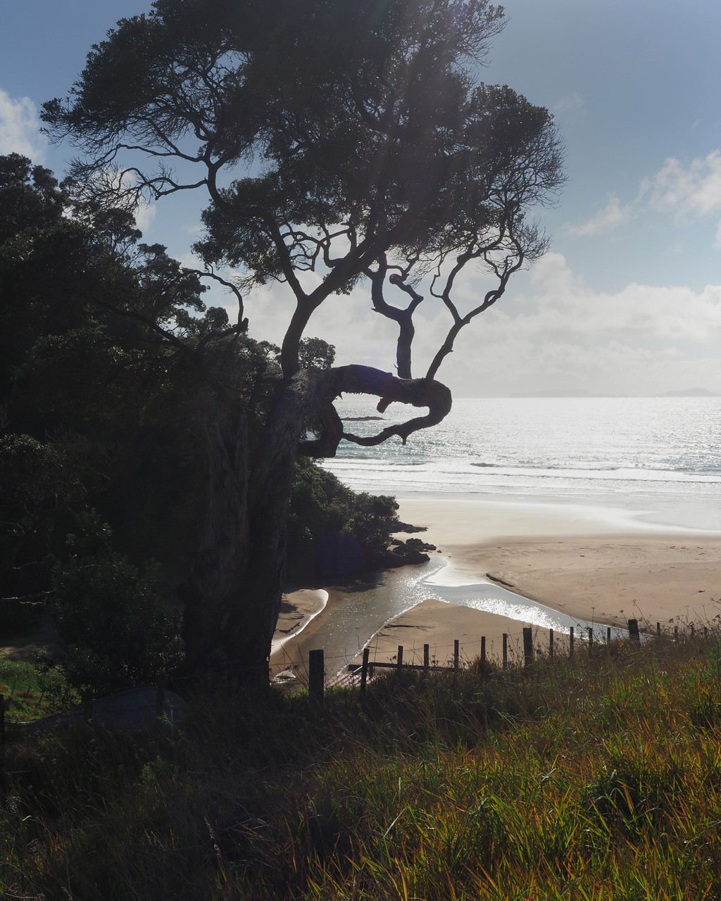
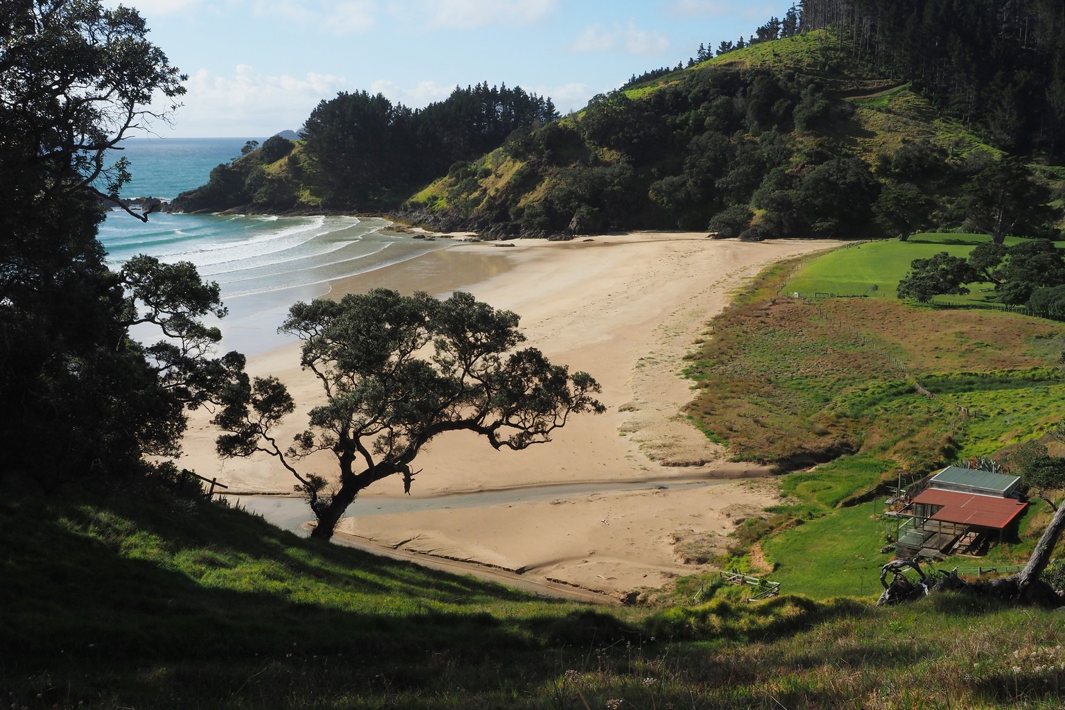
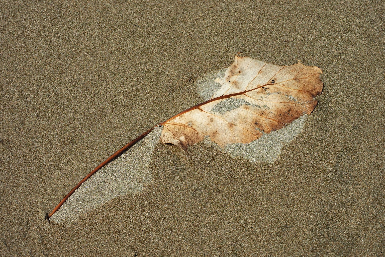
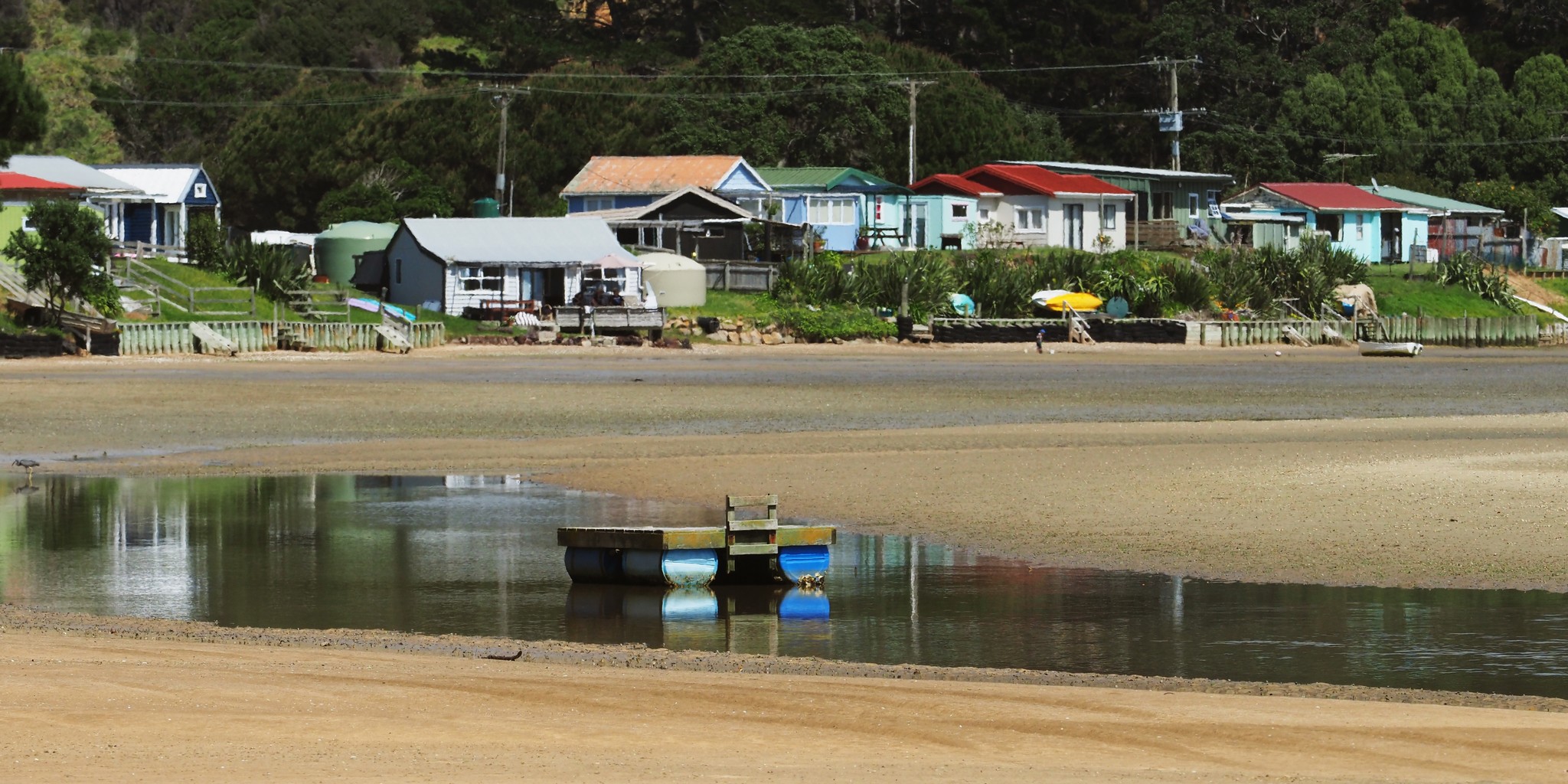
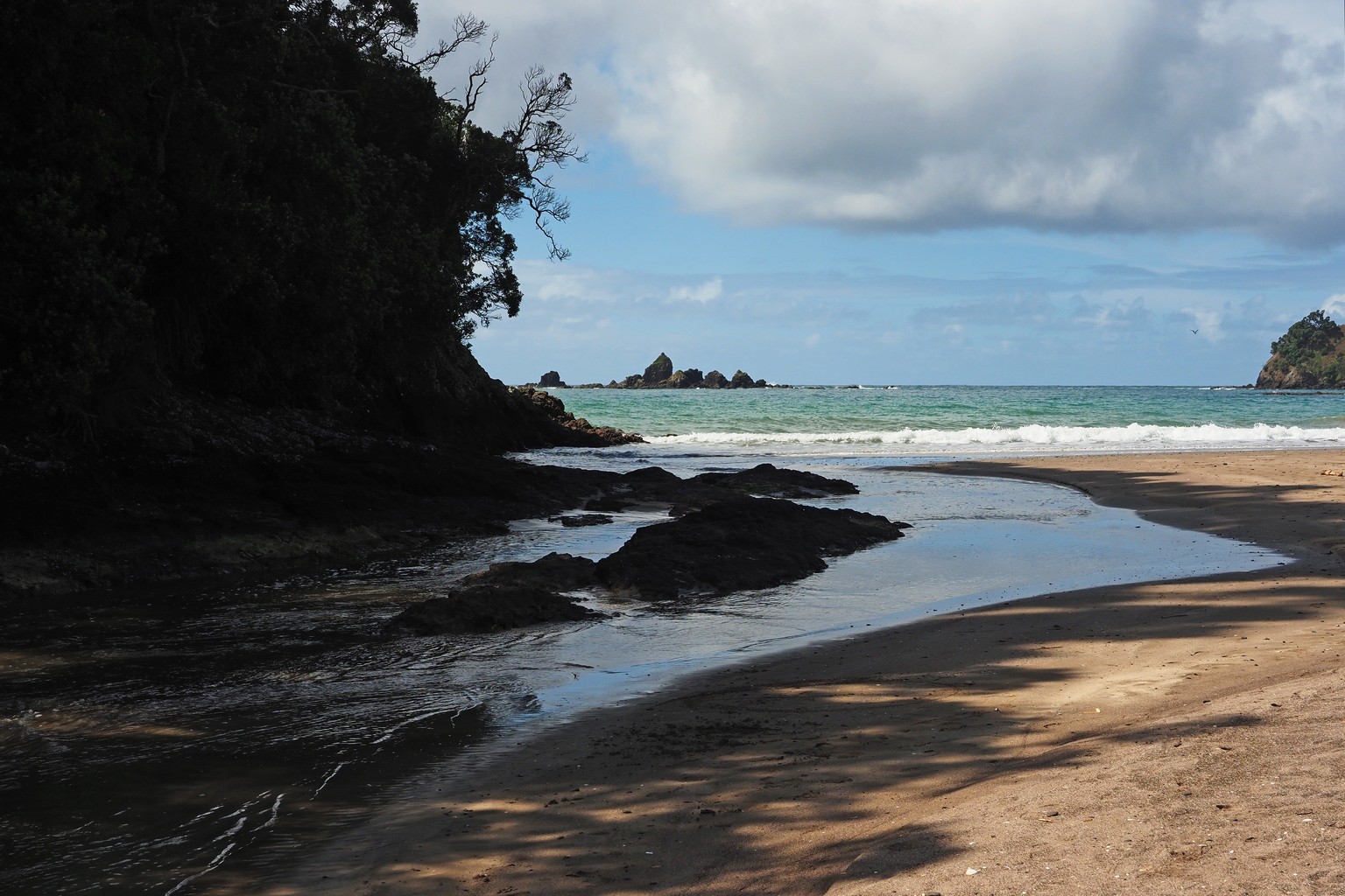
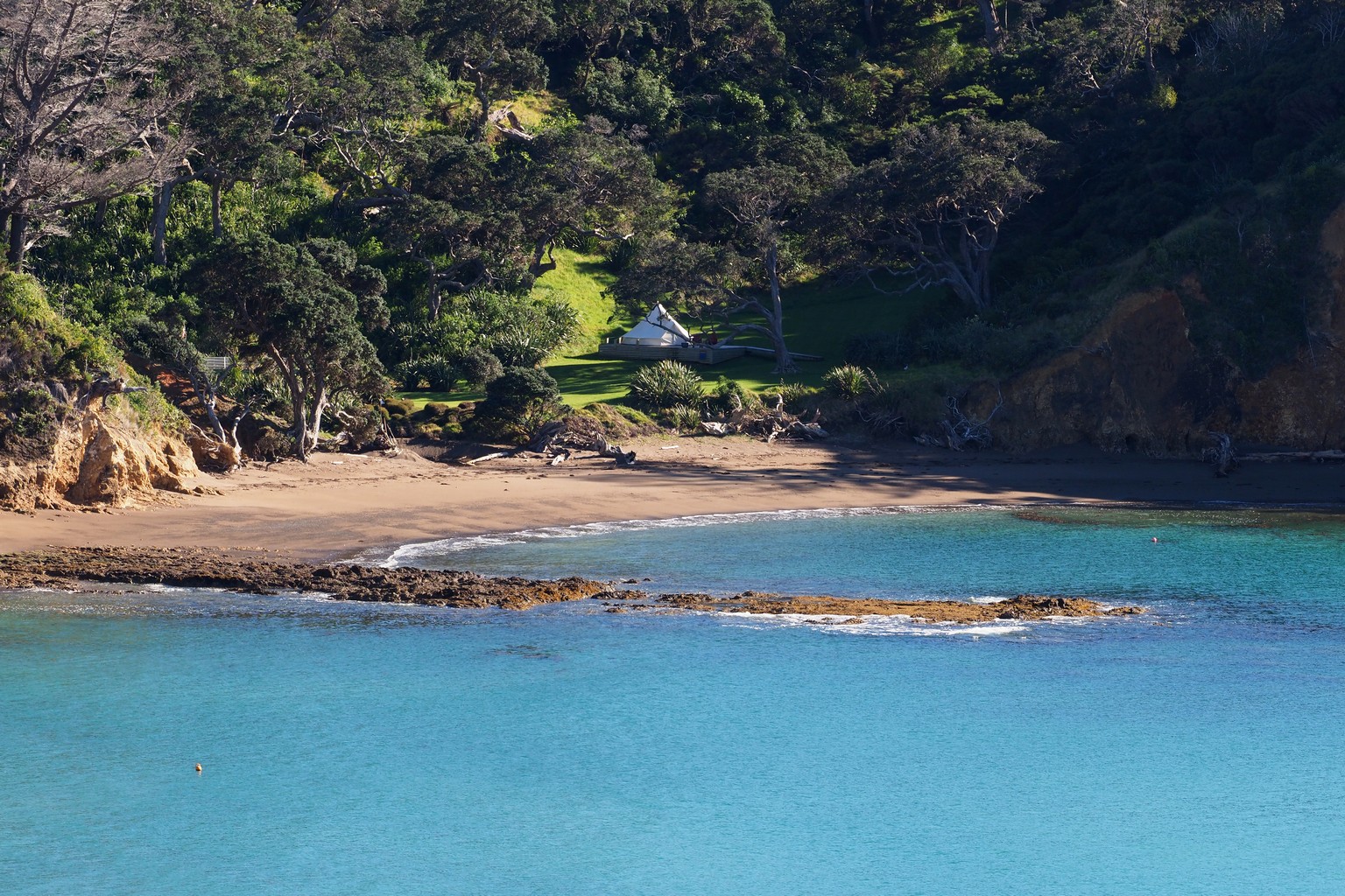
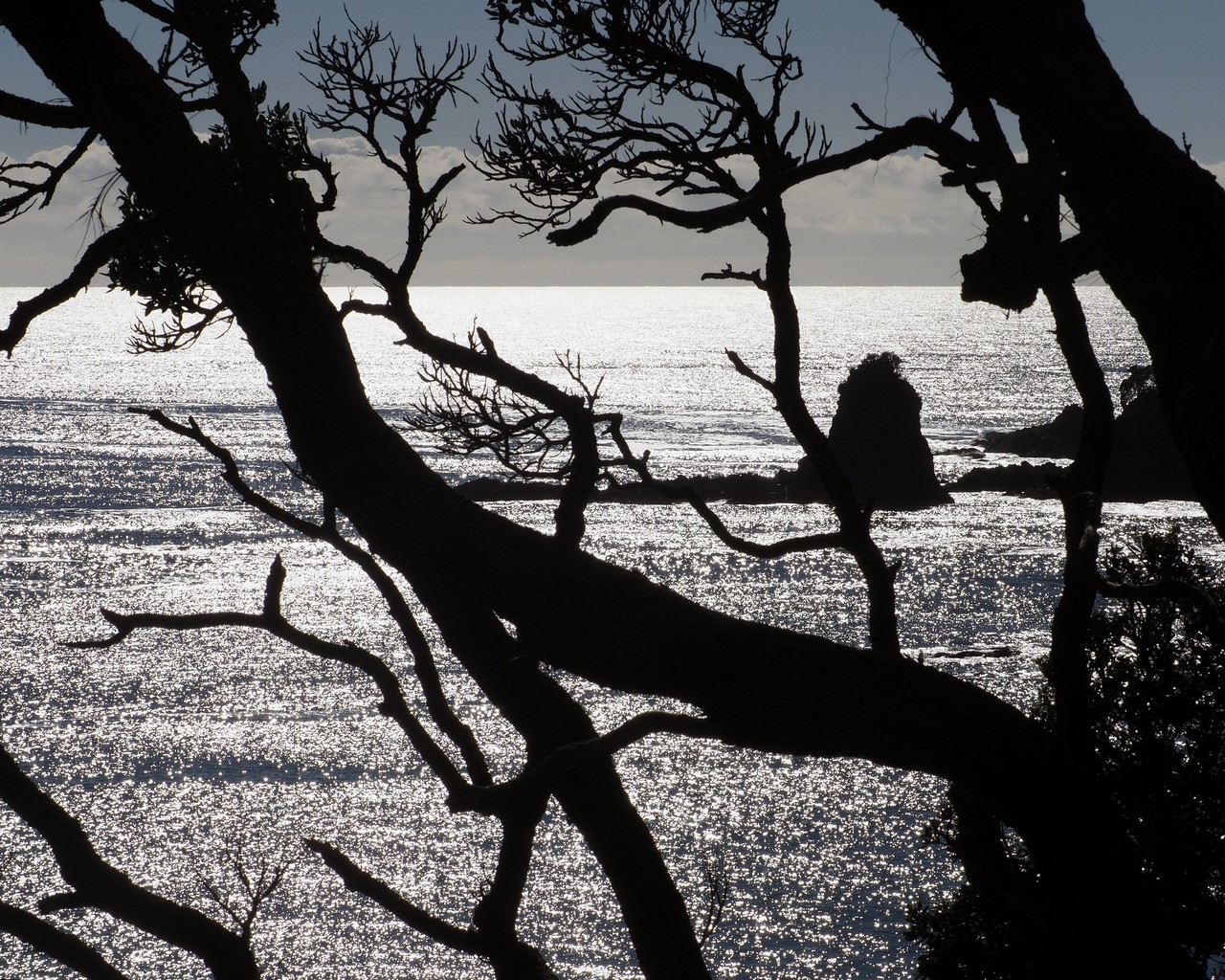
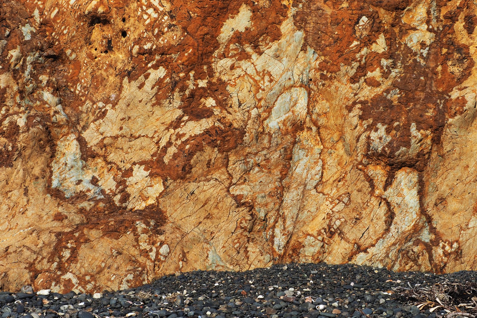
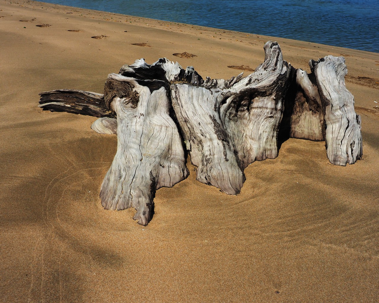
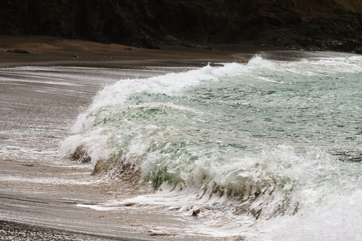
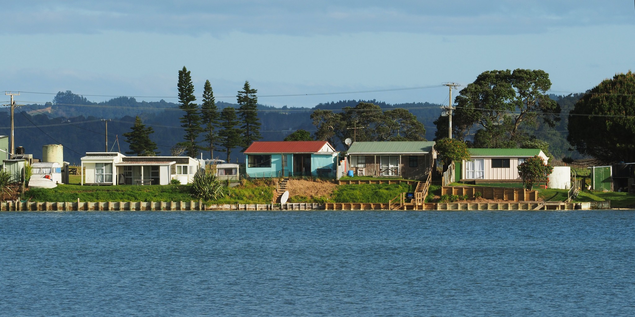
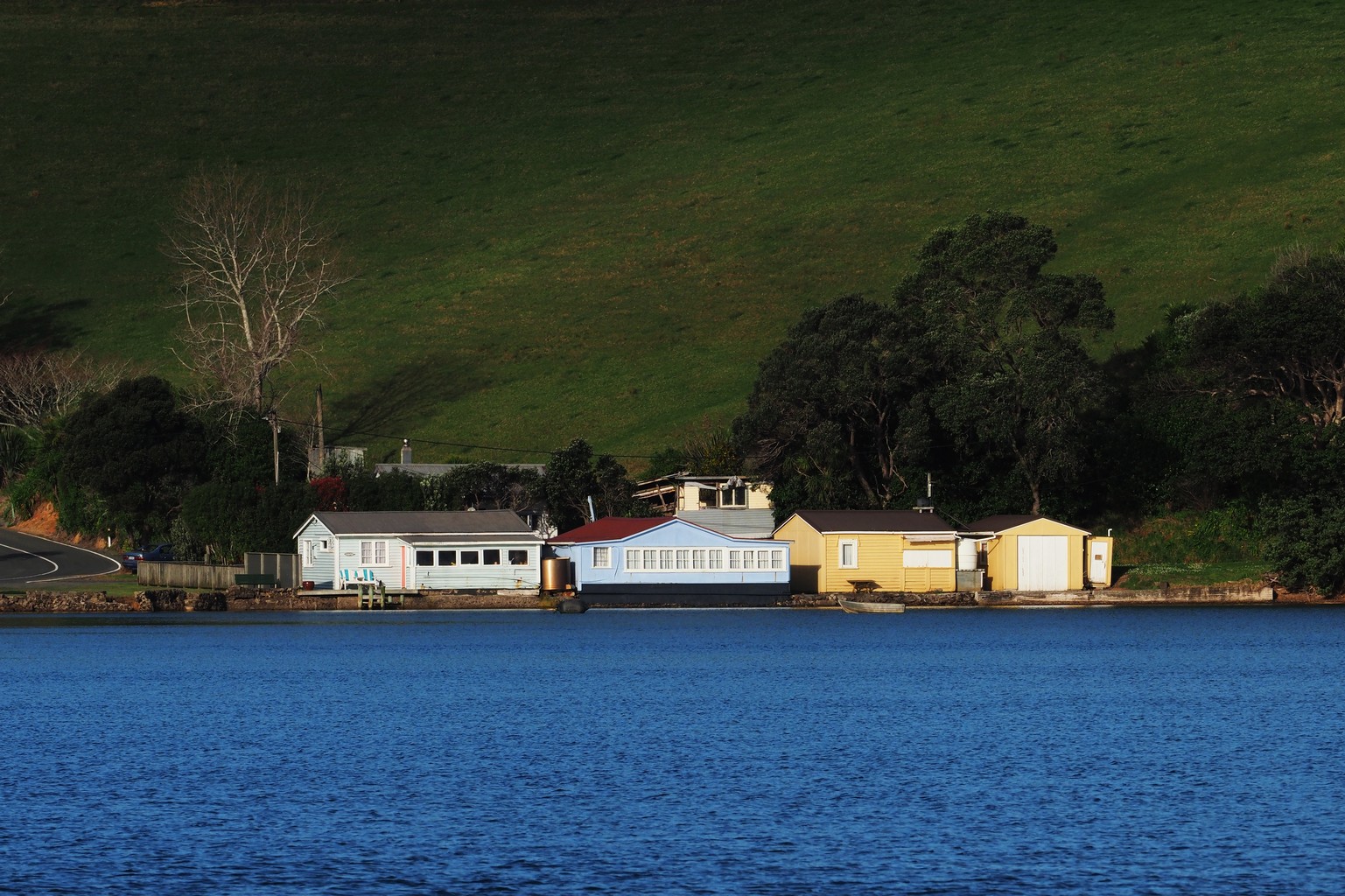
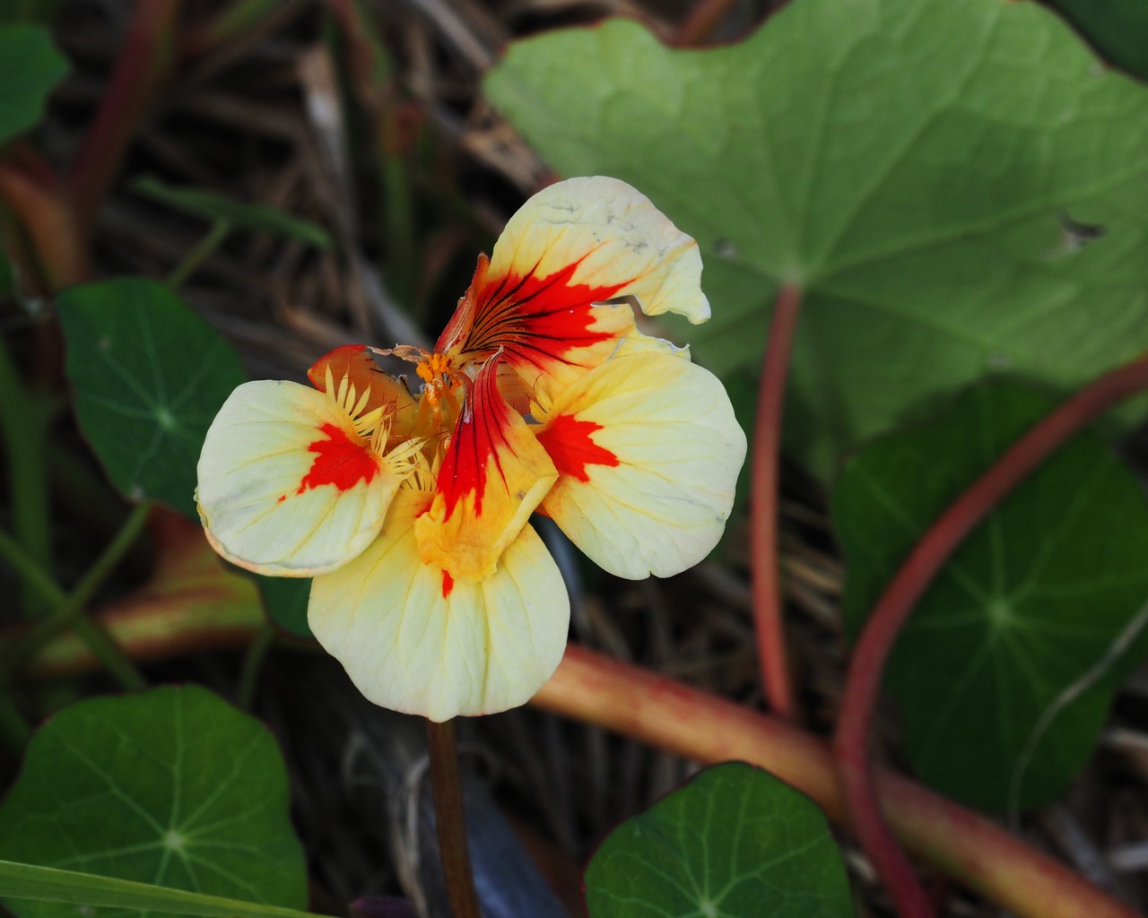
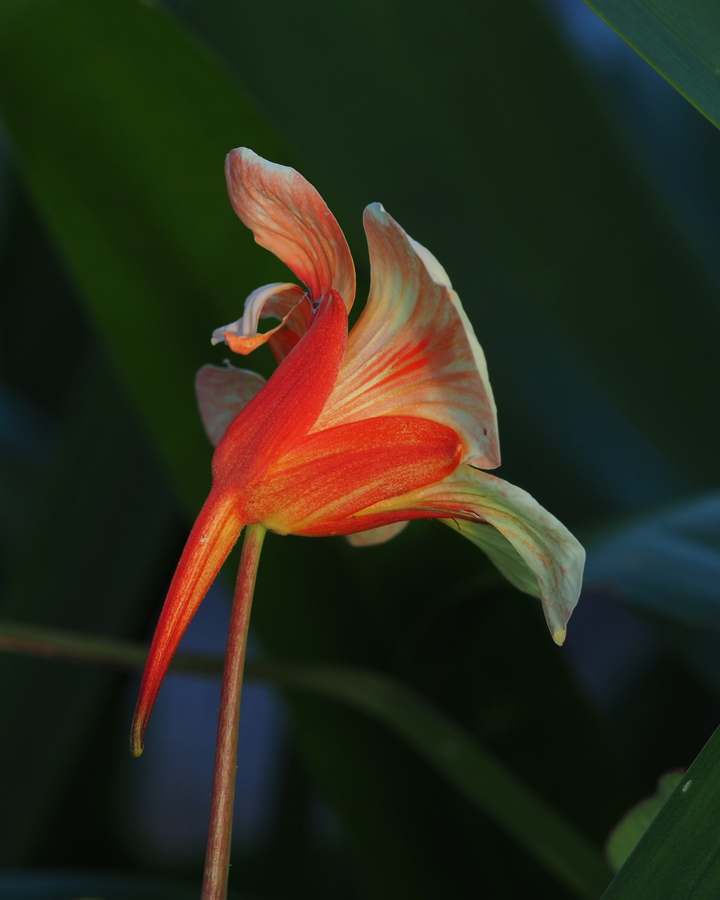
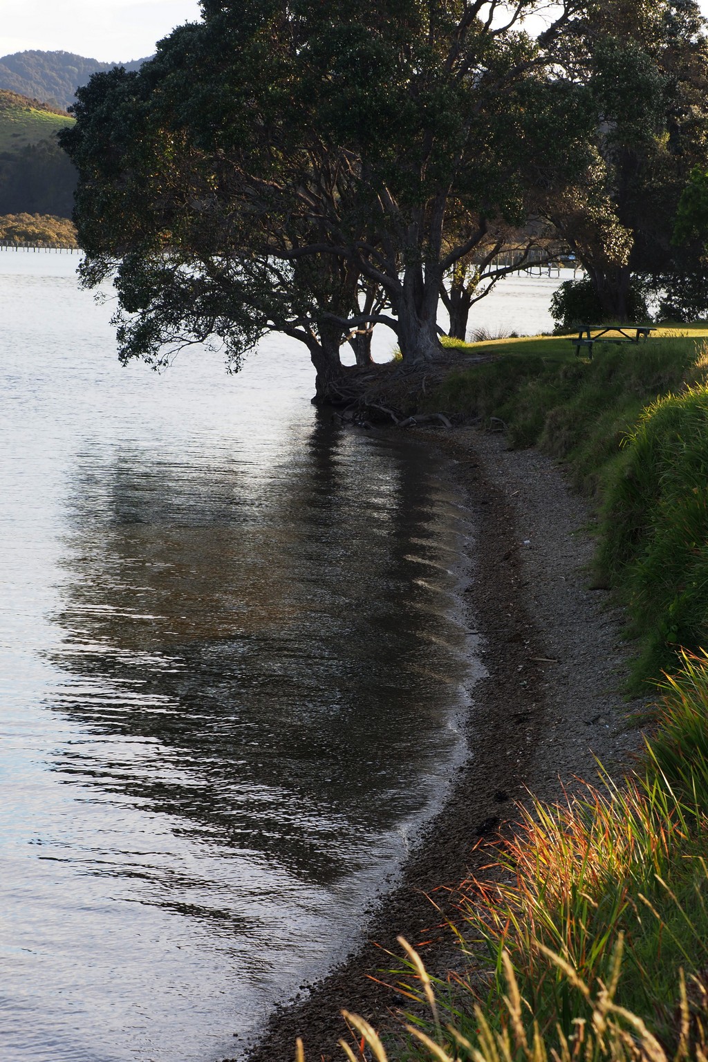
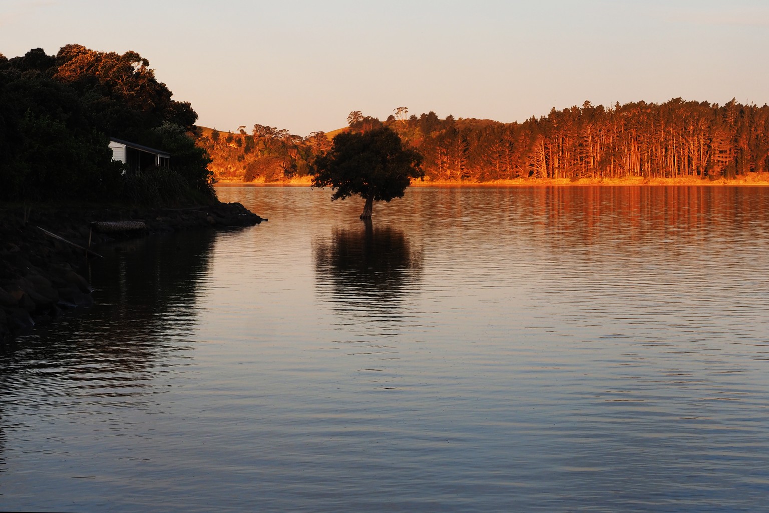
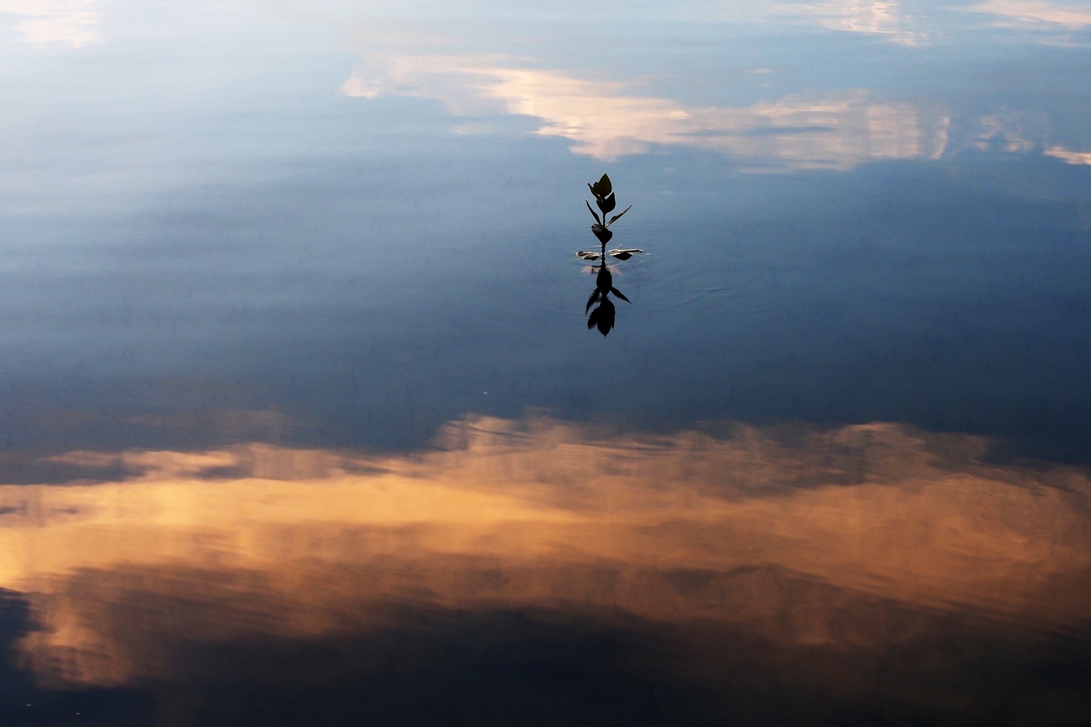
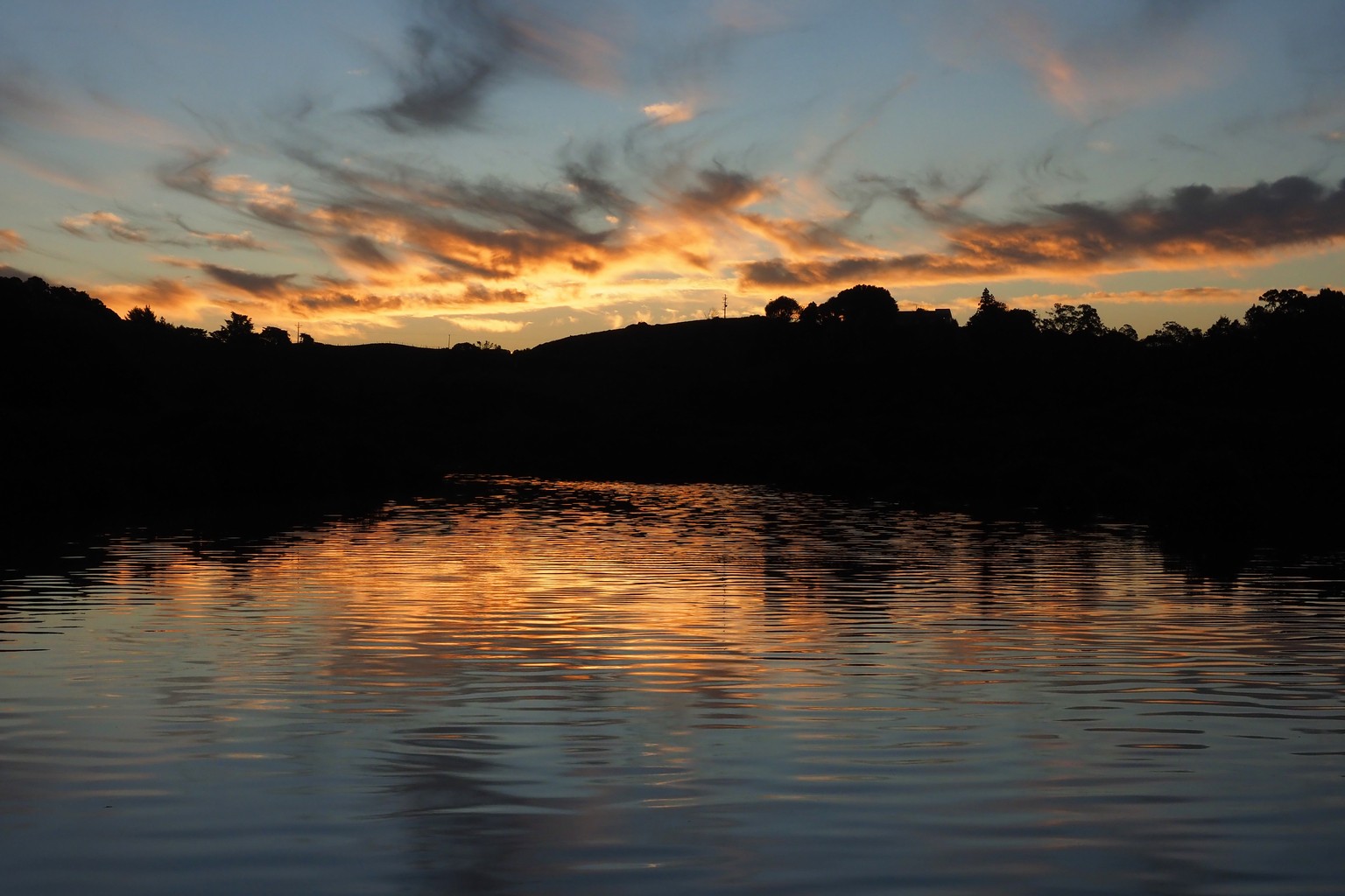
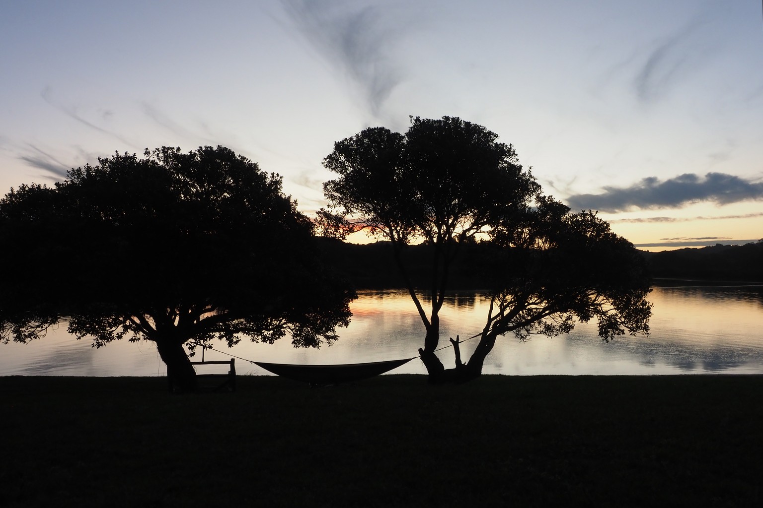
Whananaki estuary and adjacent bays, September 2026 – our latest discovery.
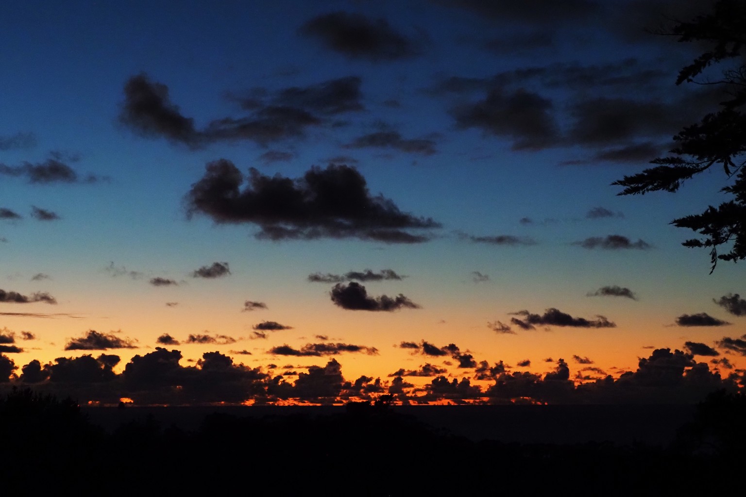
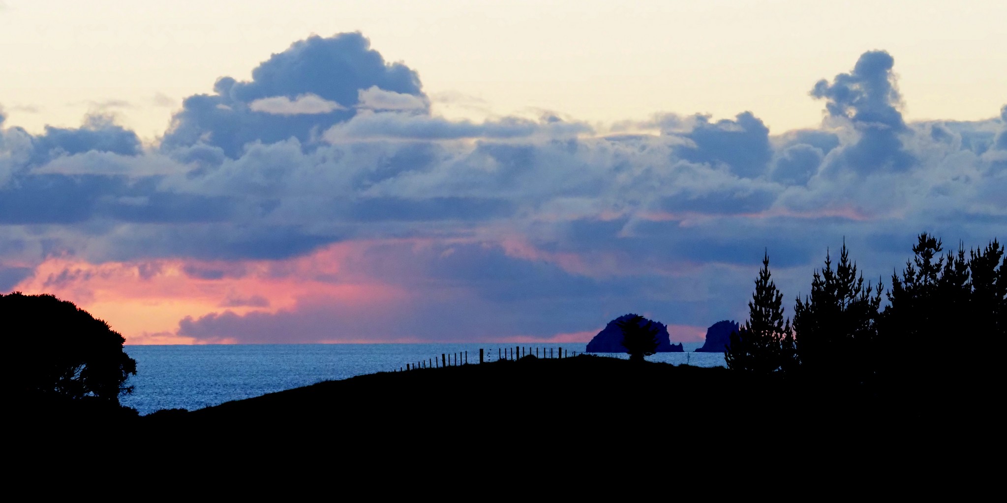
Sunrise on the Tutukaka coast, July 2026.


Otito Track past Whale Bay to Matapouri Bay, watched by shags roosting on a pohutukawa tree. The Spirit of New Zealand barquetine passes offshore.
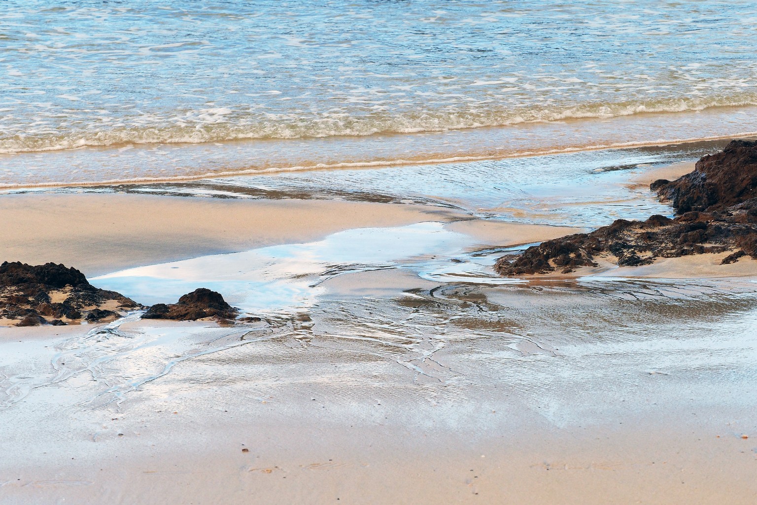
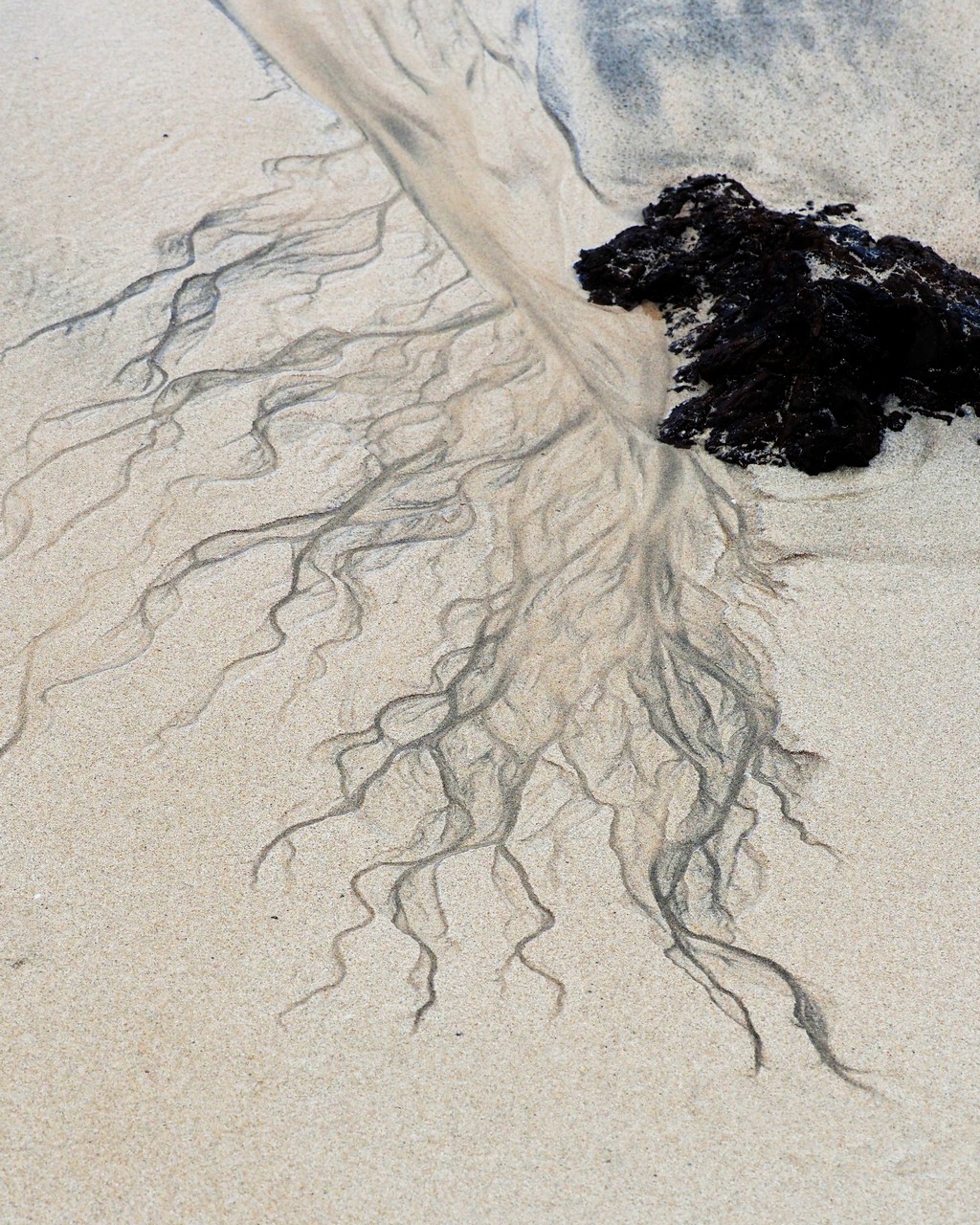
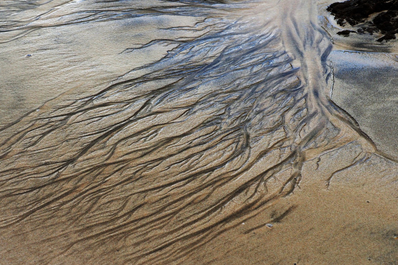
Rivulets on Matapouri Beach.

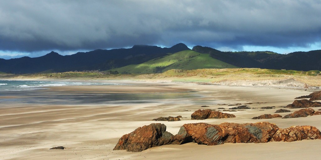


Colourful rock outcrops at Pataua South.

Further south to Whangarei Heads. We walked along the Mount Aubrey ridge; in the background on the left is Mount Manaia, an awesomely pinnacled massif.


A jellyfish-shaped rainbow; Mount Manaia in more detail; looking down on an oil tanker berthed at Marsden Point.


Next morning, we climbed up and along the Te Whara Ridge, looking north along Ocean Beach, and looked down on Bream Head from the site of a WW2 radar station. Scrambled through huge blocks of fallen rock; dropped down a steep track (810 wooden steps!) for a swim at Peach Cove.
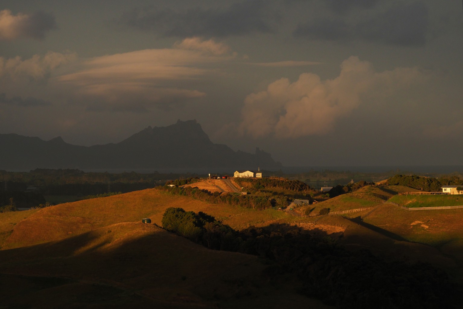
Looking north towards Whangarei Heads from hills above Waipu.

