In April 2026, we flew to Sydney, picked up a rental car and spent two and a half weeks in southeast New South Wales, crossed to northern Victoria, and flew home from Melbourne.
The photos are a joint venture between Sue and myself.
Blue Mountains
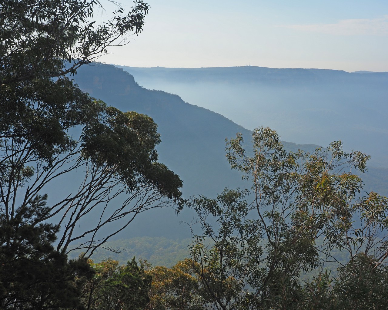
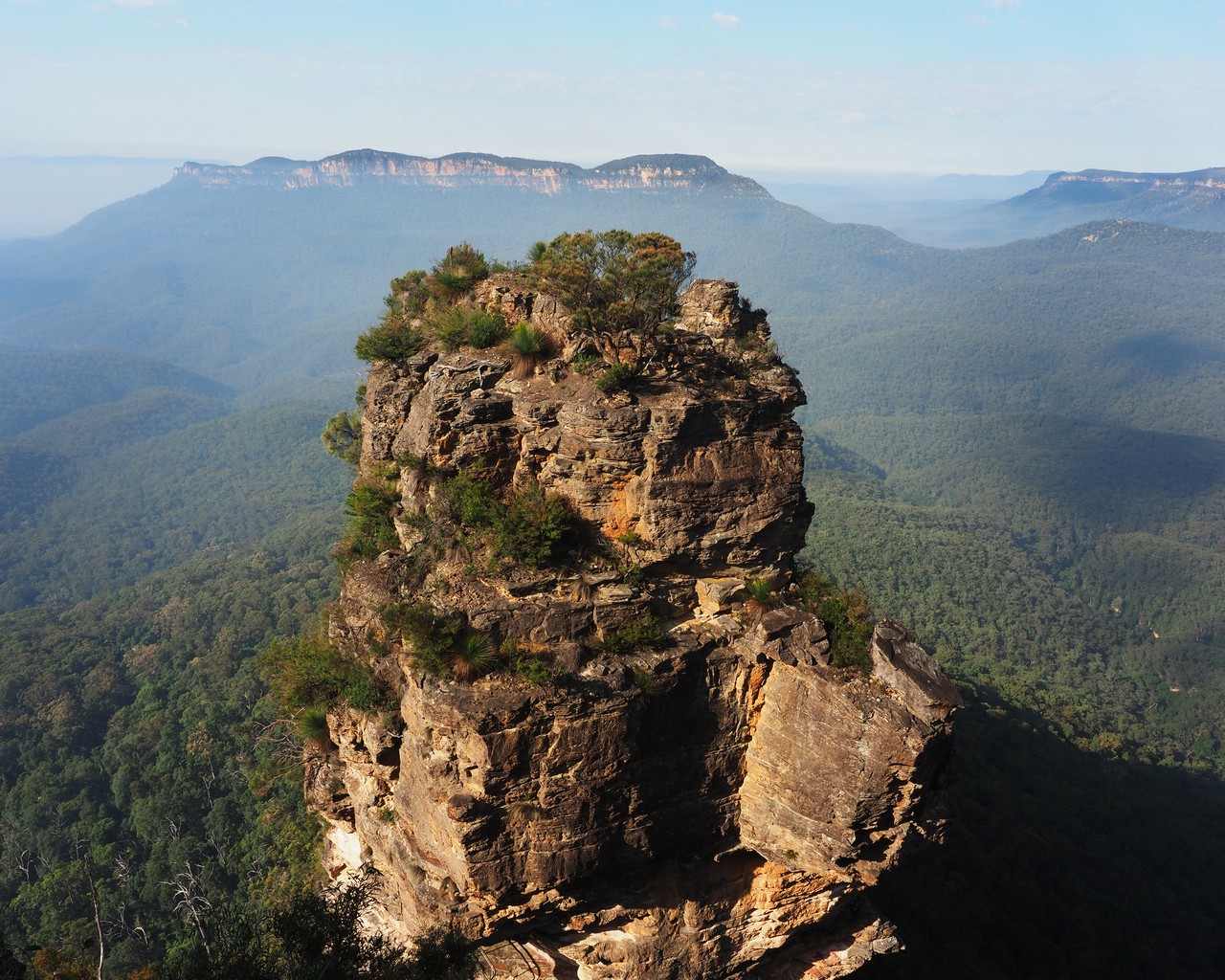
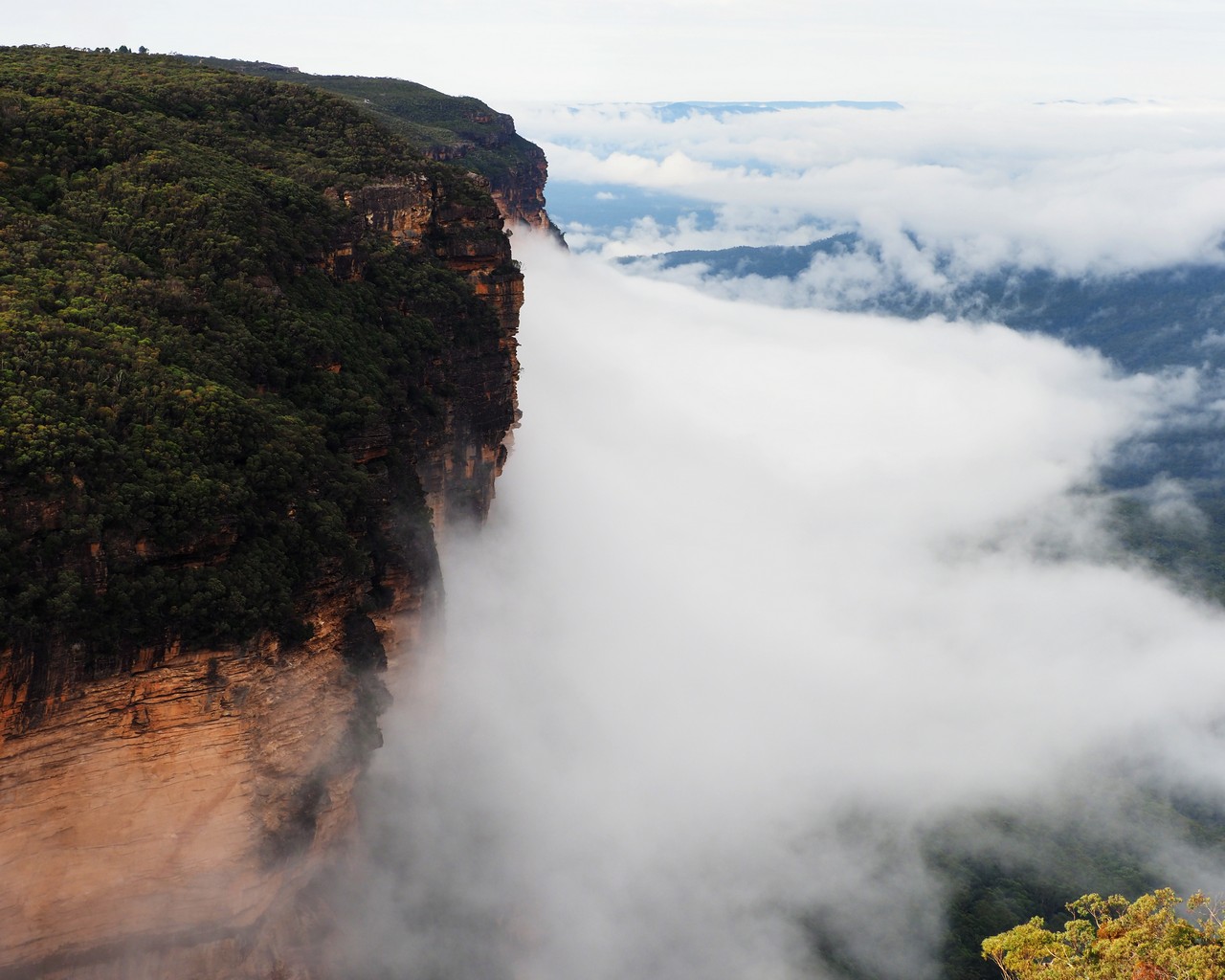
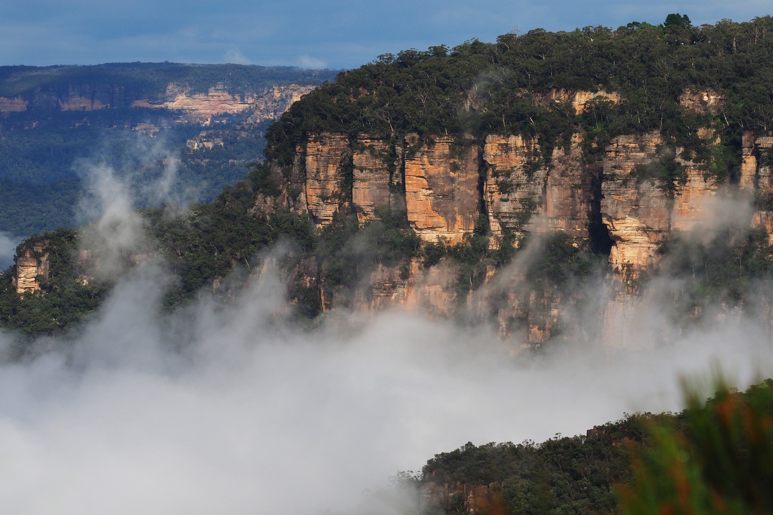
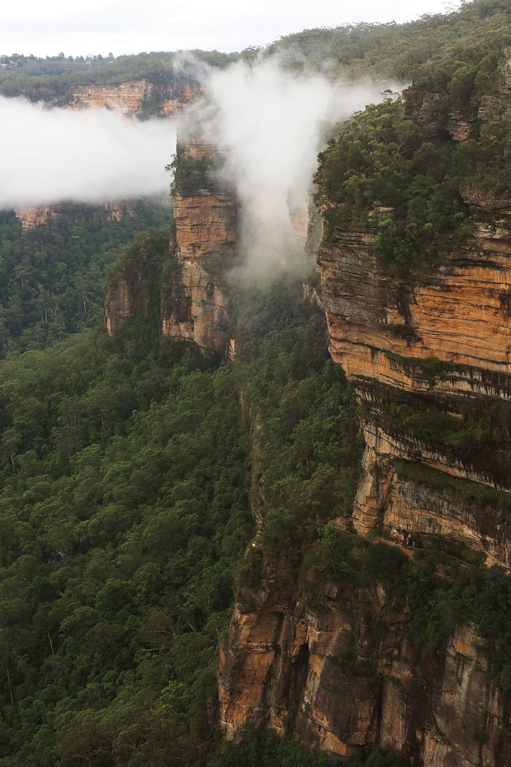
We based ourselves in Katoomba. Our first stop was to see the iconic view from Evans Point across to Mount Solitary – everybody’s got a photo of the Three Sisters, but it really is a fantastic sight.
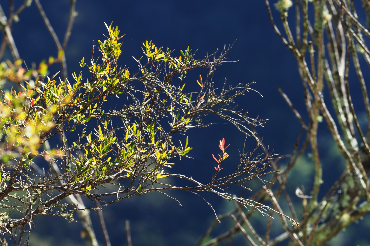
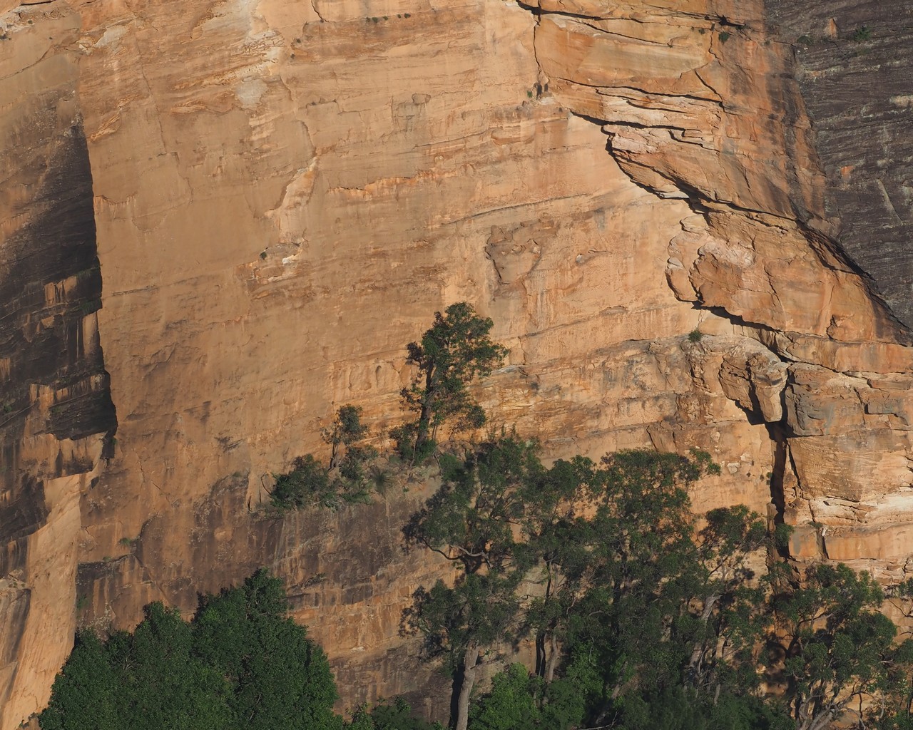
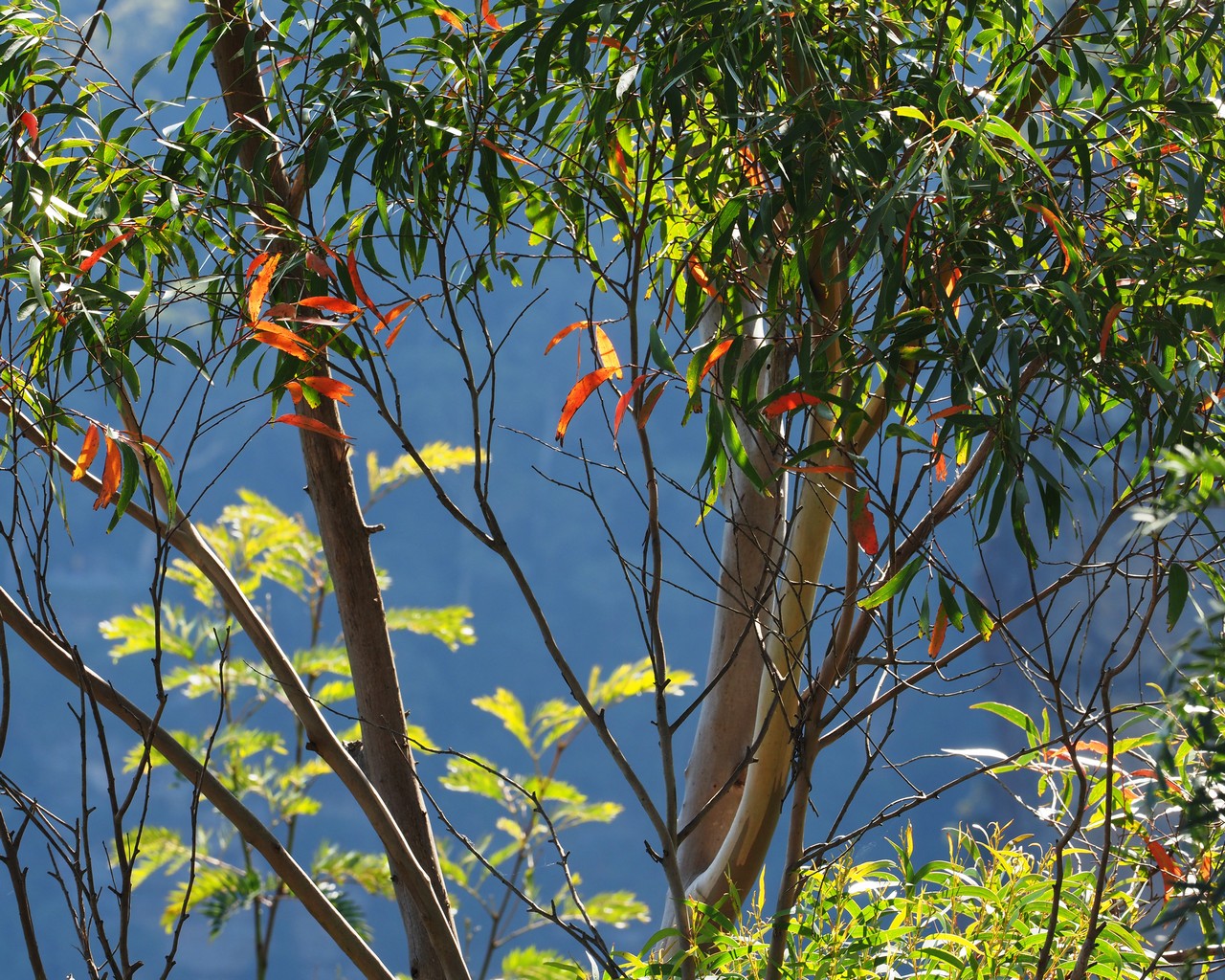
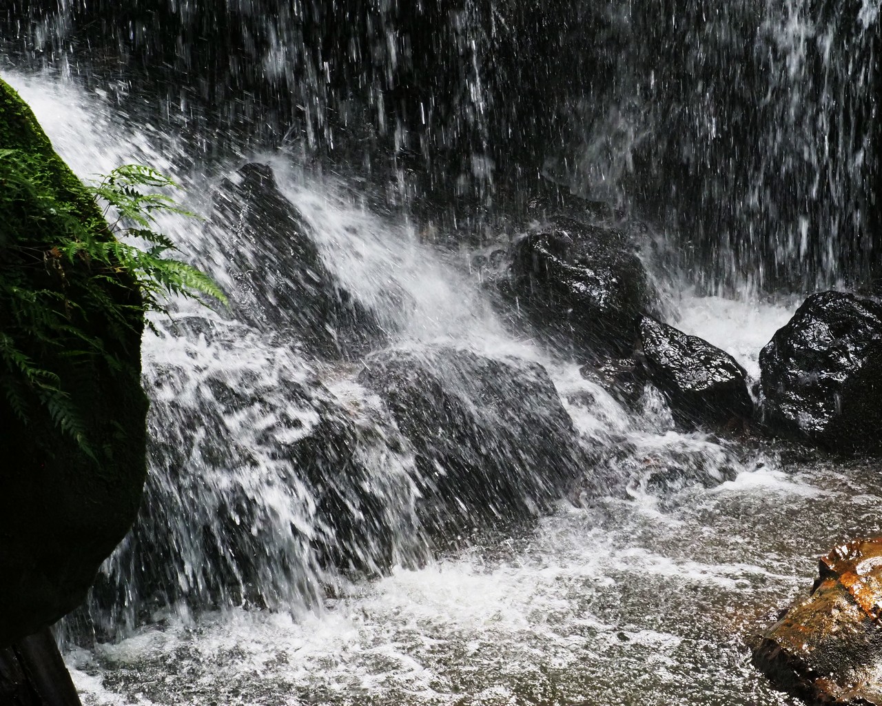
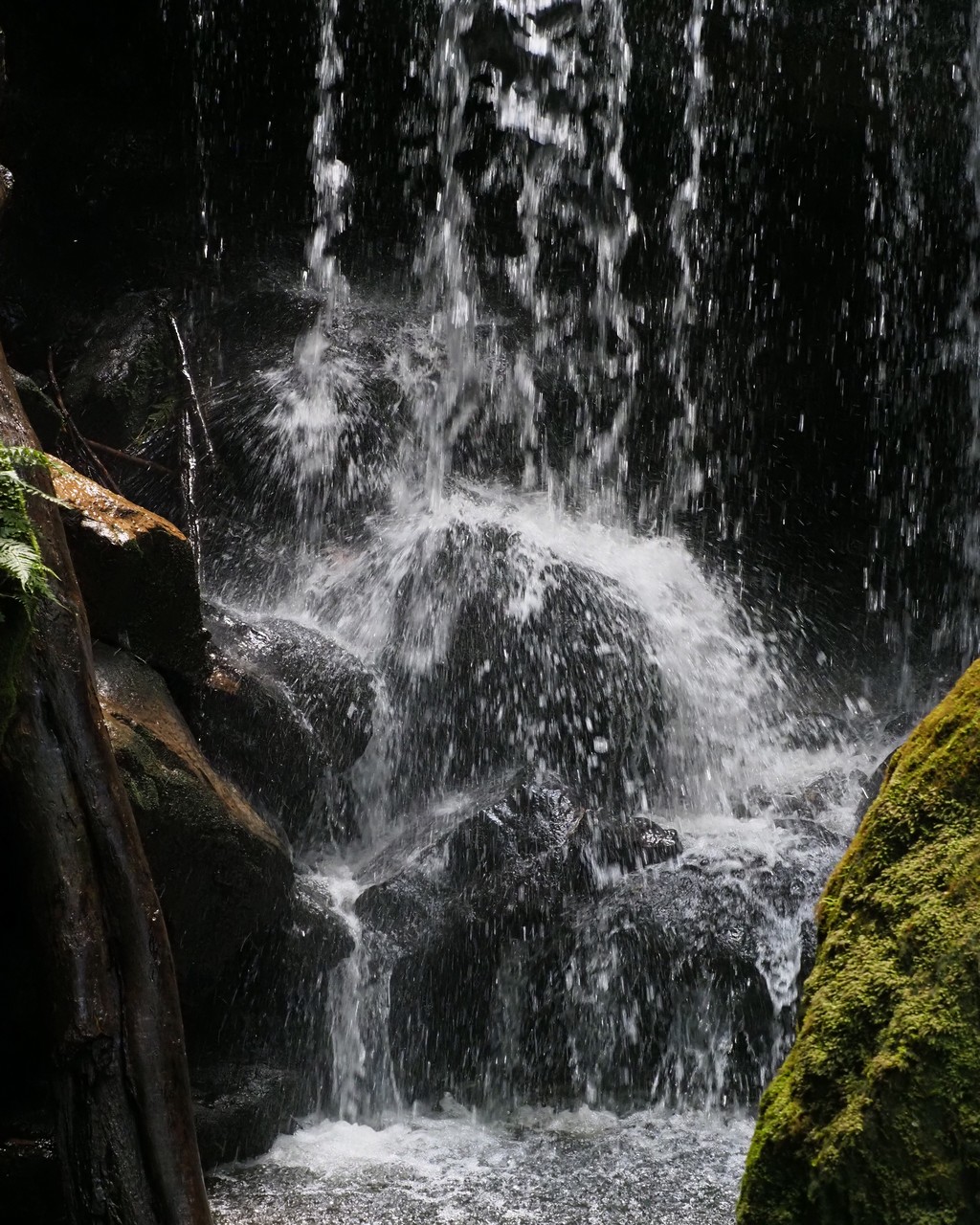
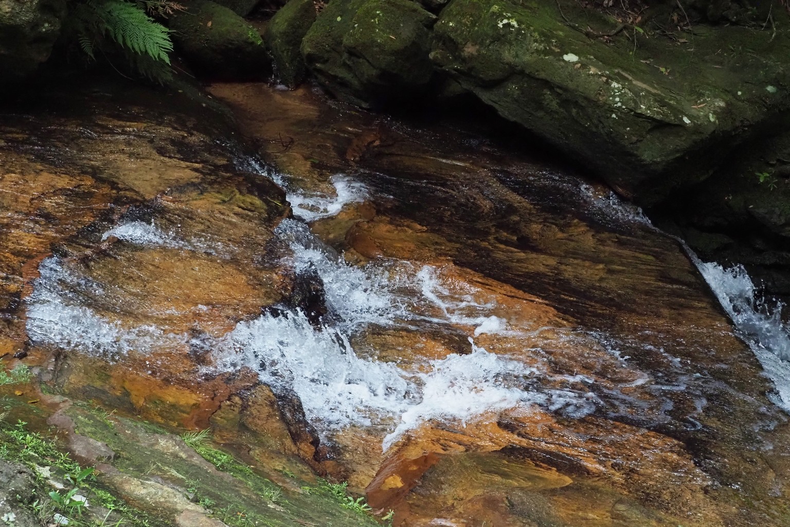
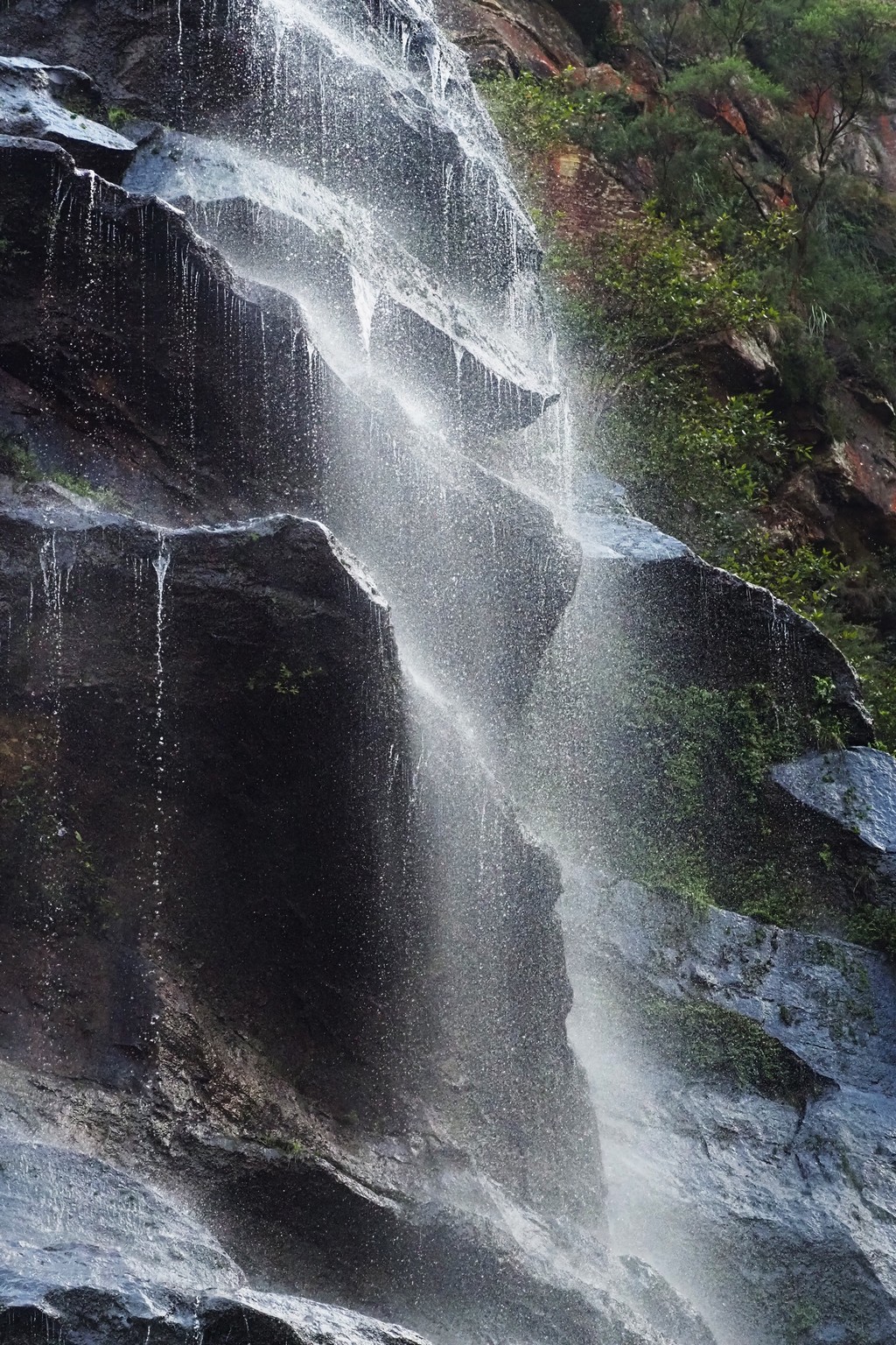
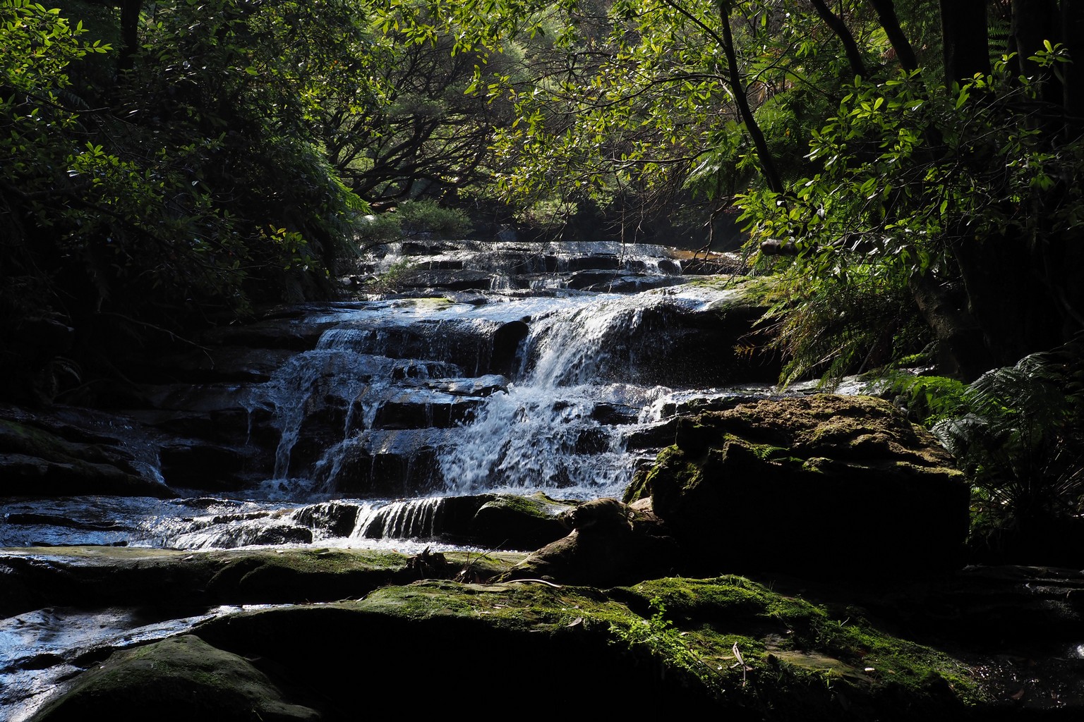
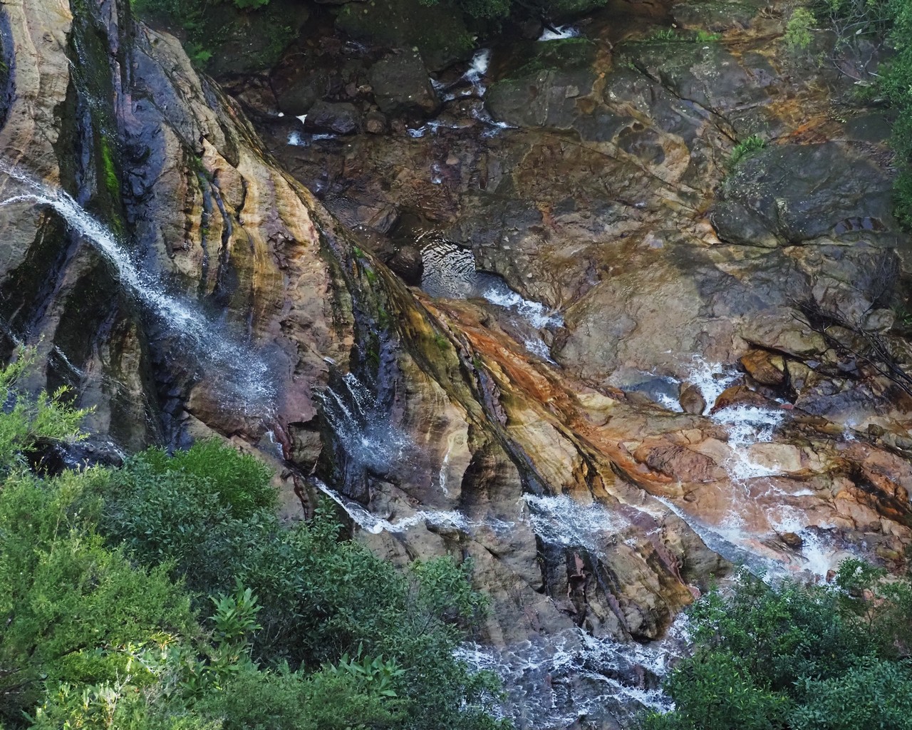
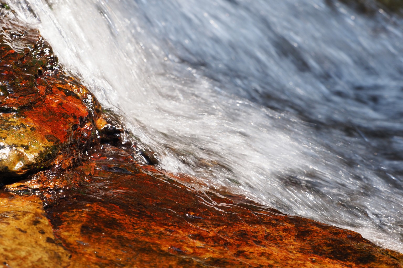
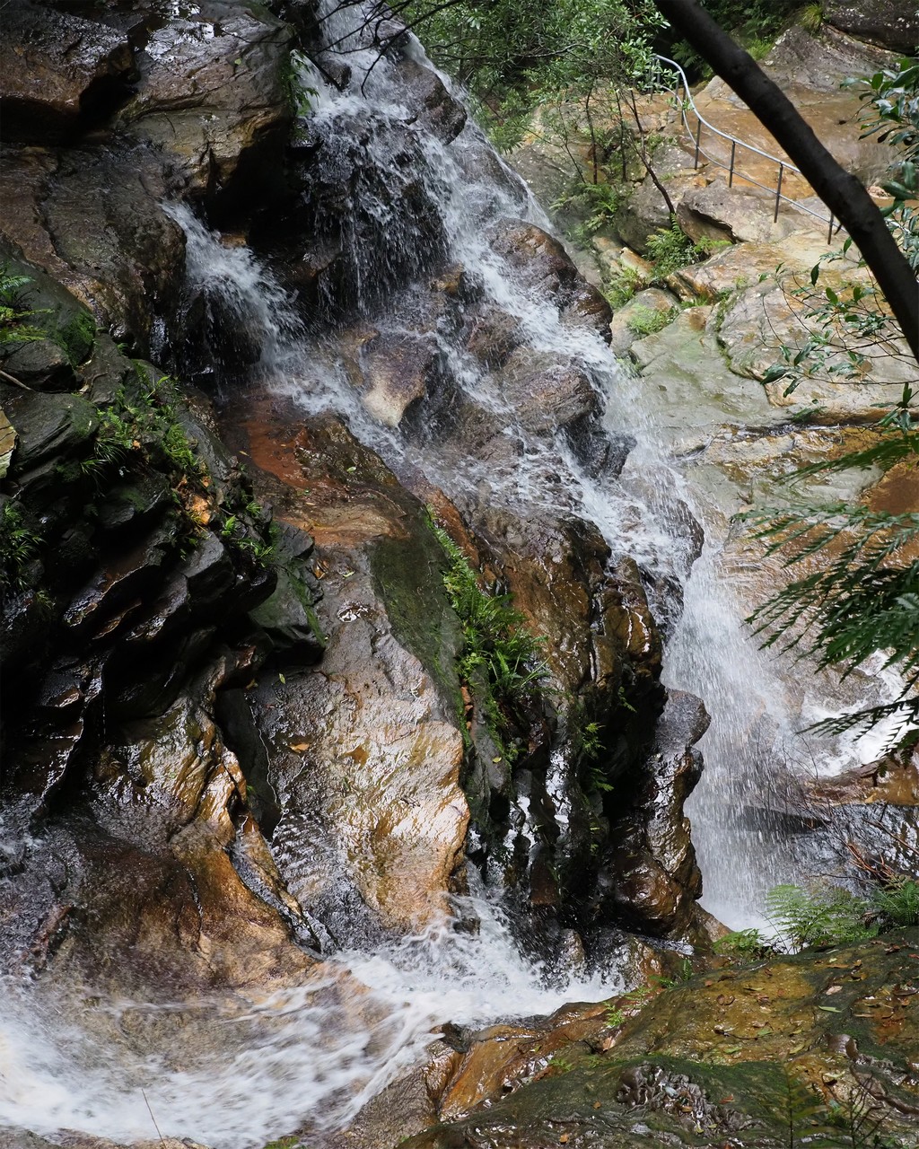
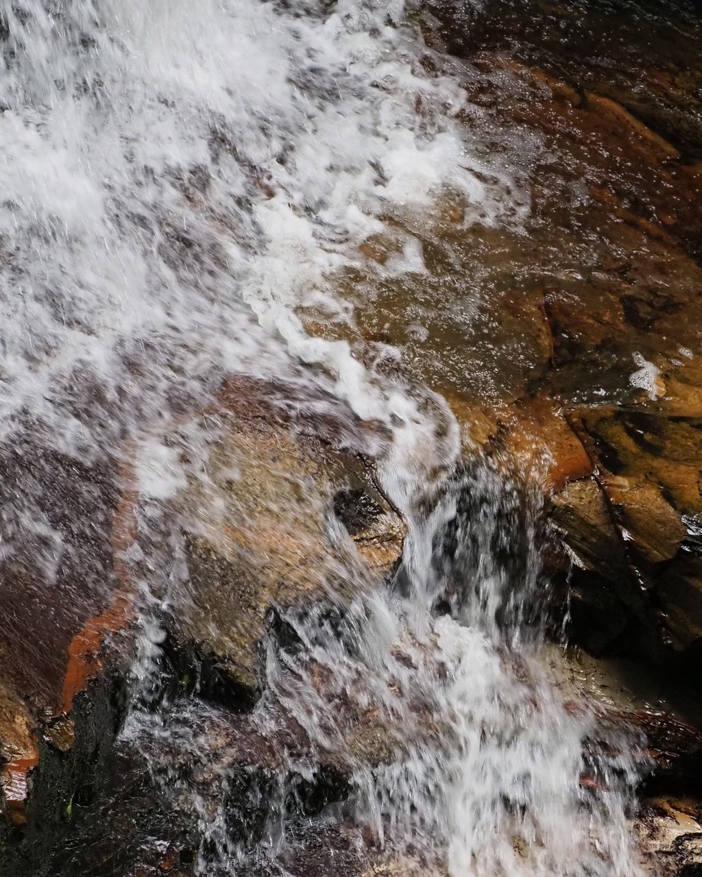
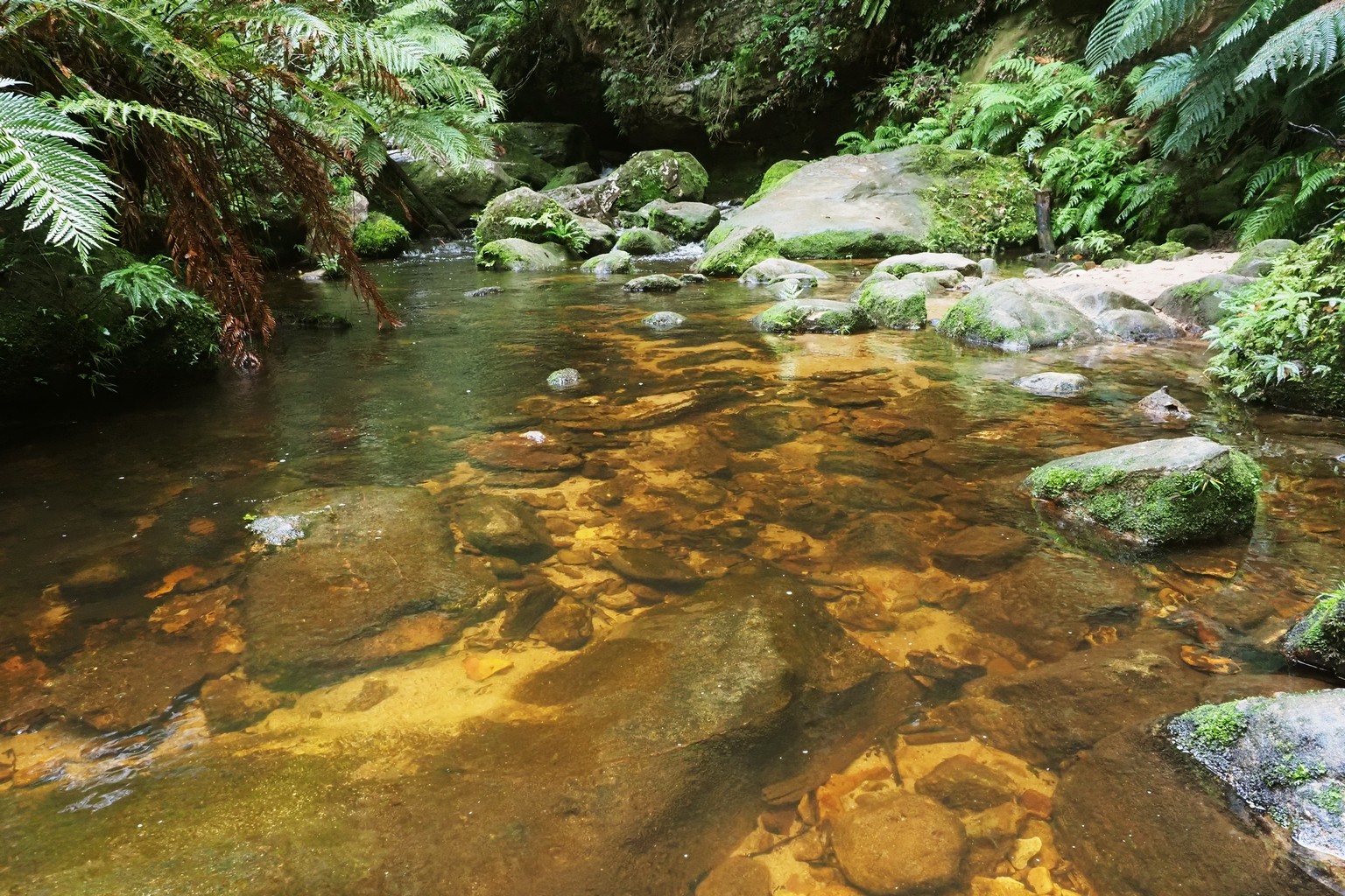
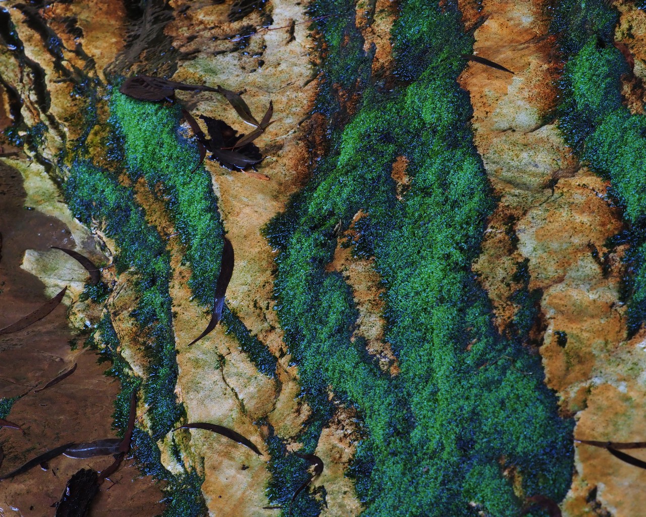
On the following days, we descended into the valleys below the escarpments, which are dominated by waterfalls, cascades and chasms, in a rainforest setting.
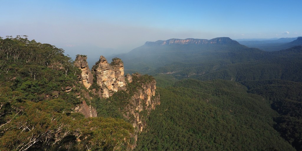
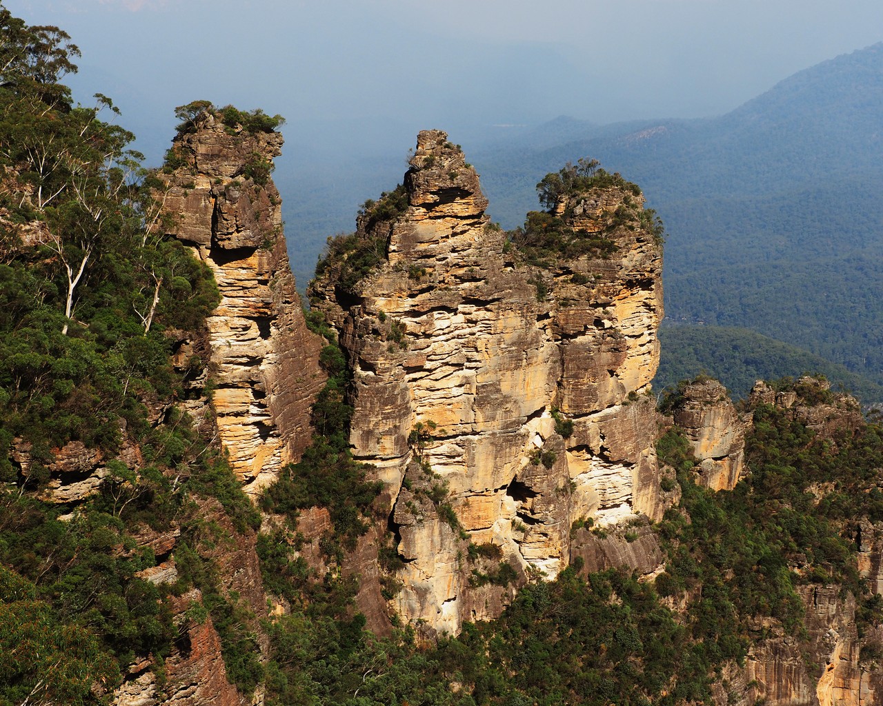
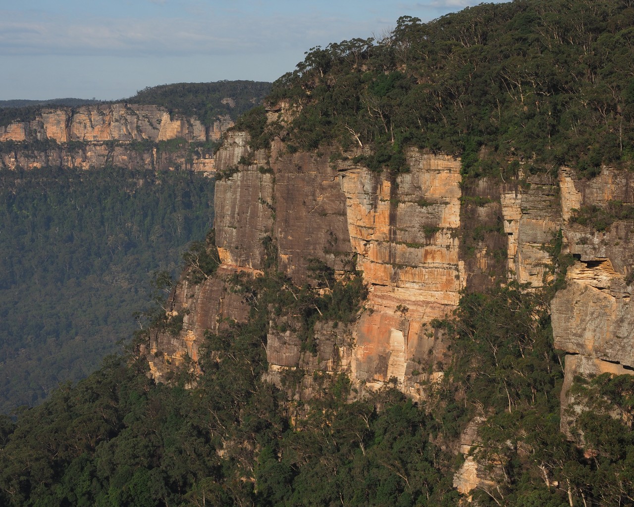
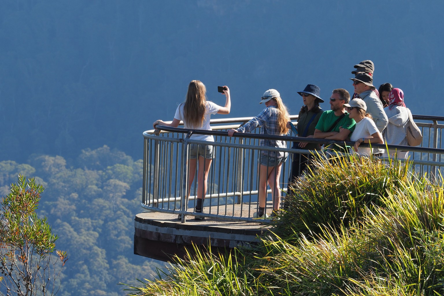
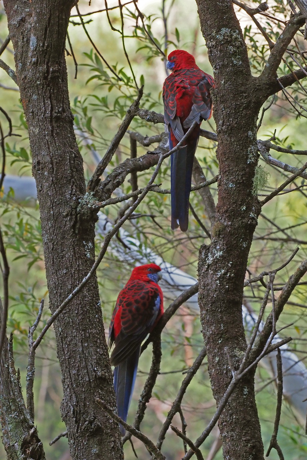
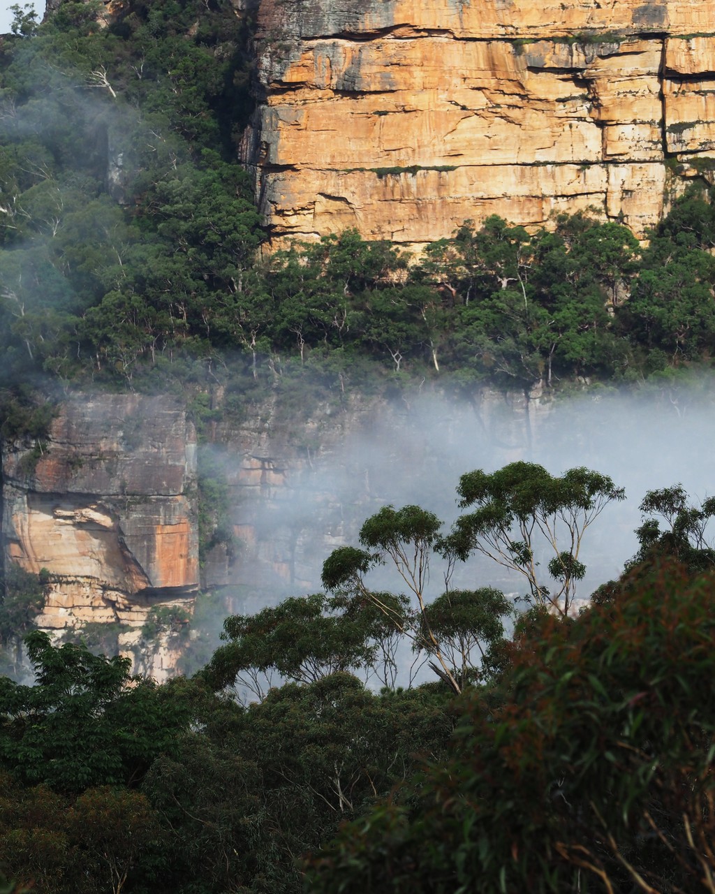
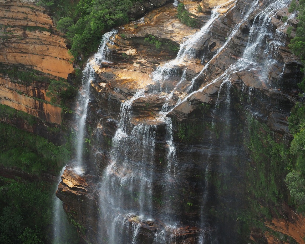
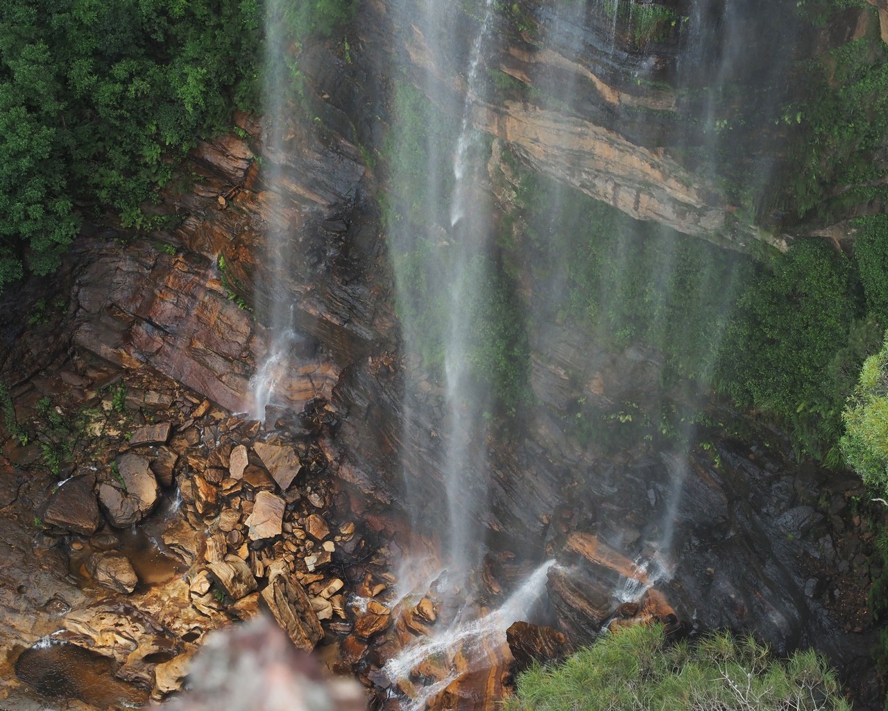
From the Blue Mountains, we drove south to the coast, with a short visit to Nowra, where Bill’s grandmother was born. We weren’t able to find out any more about her family, so focused on the beaches nearby.
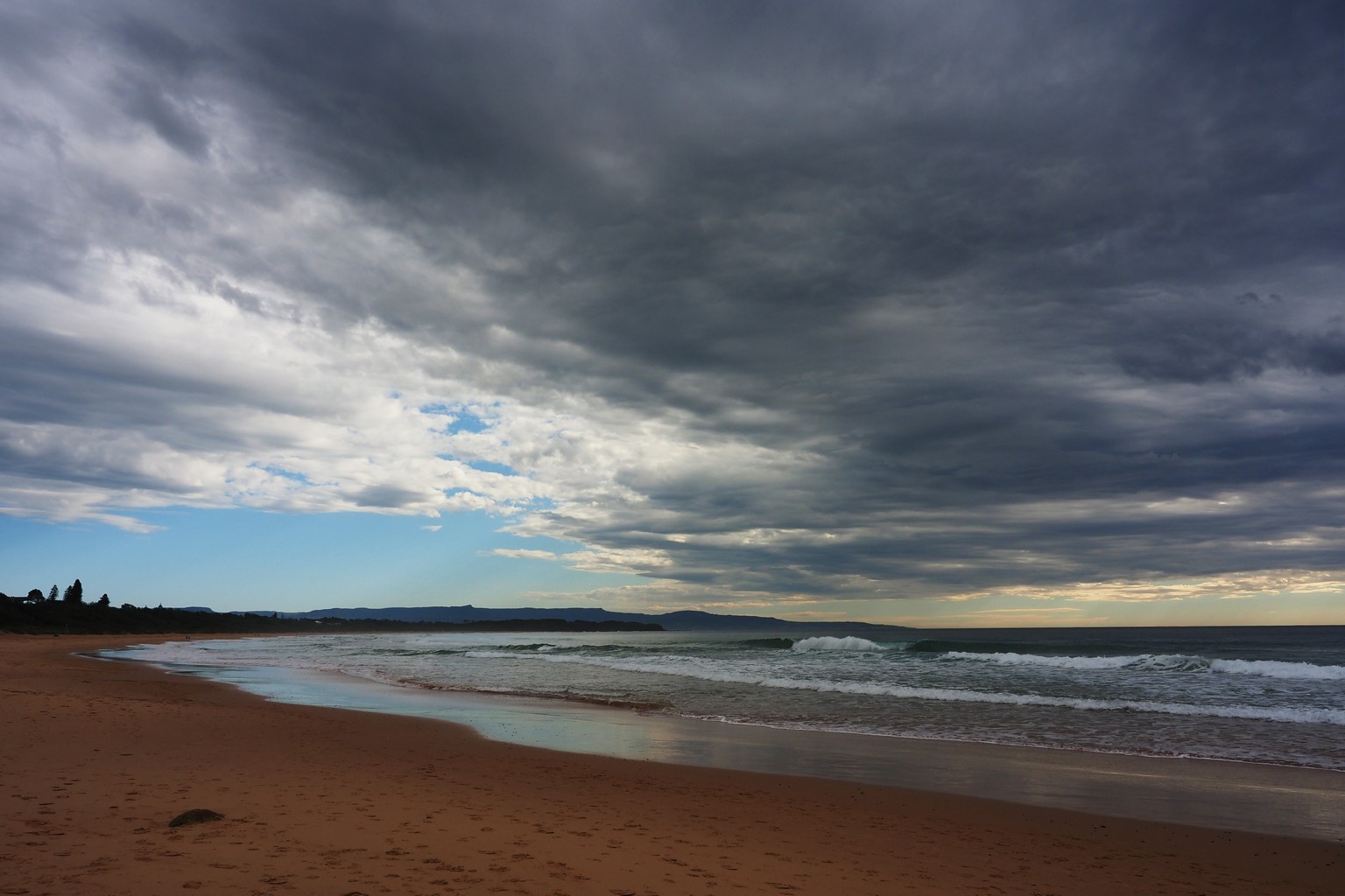
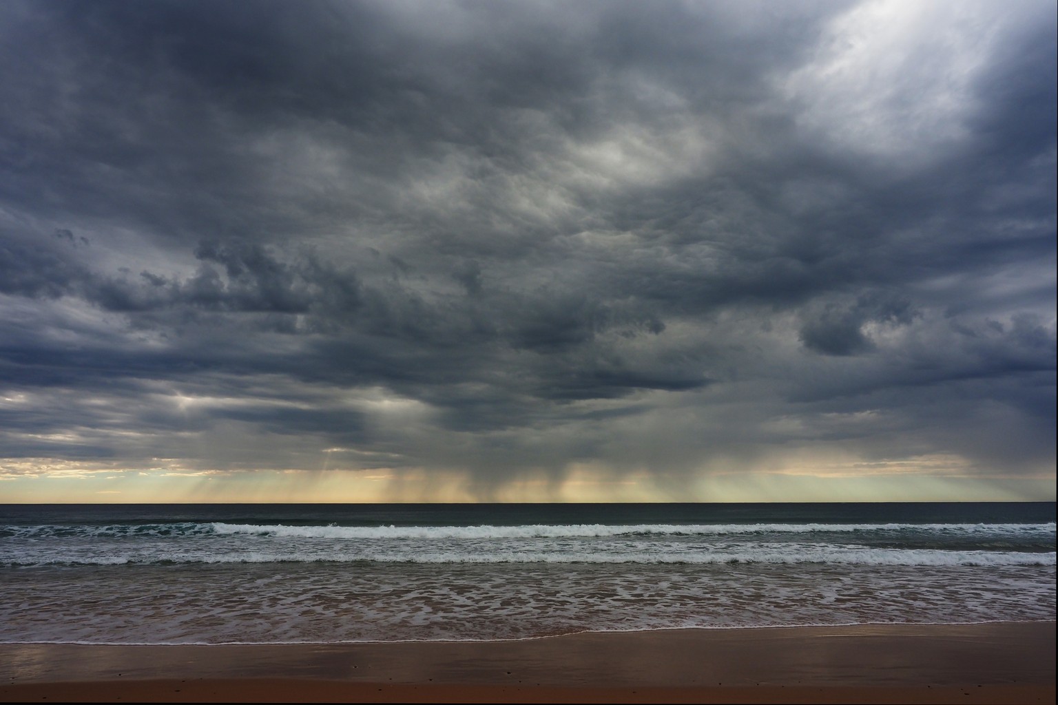
Culbarra Beach, near Nowra.
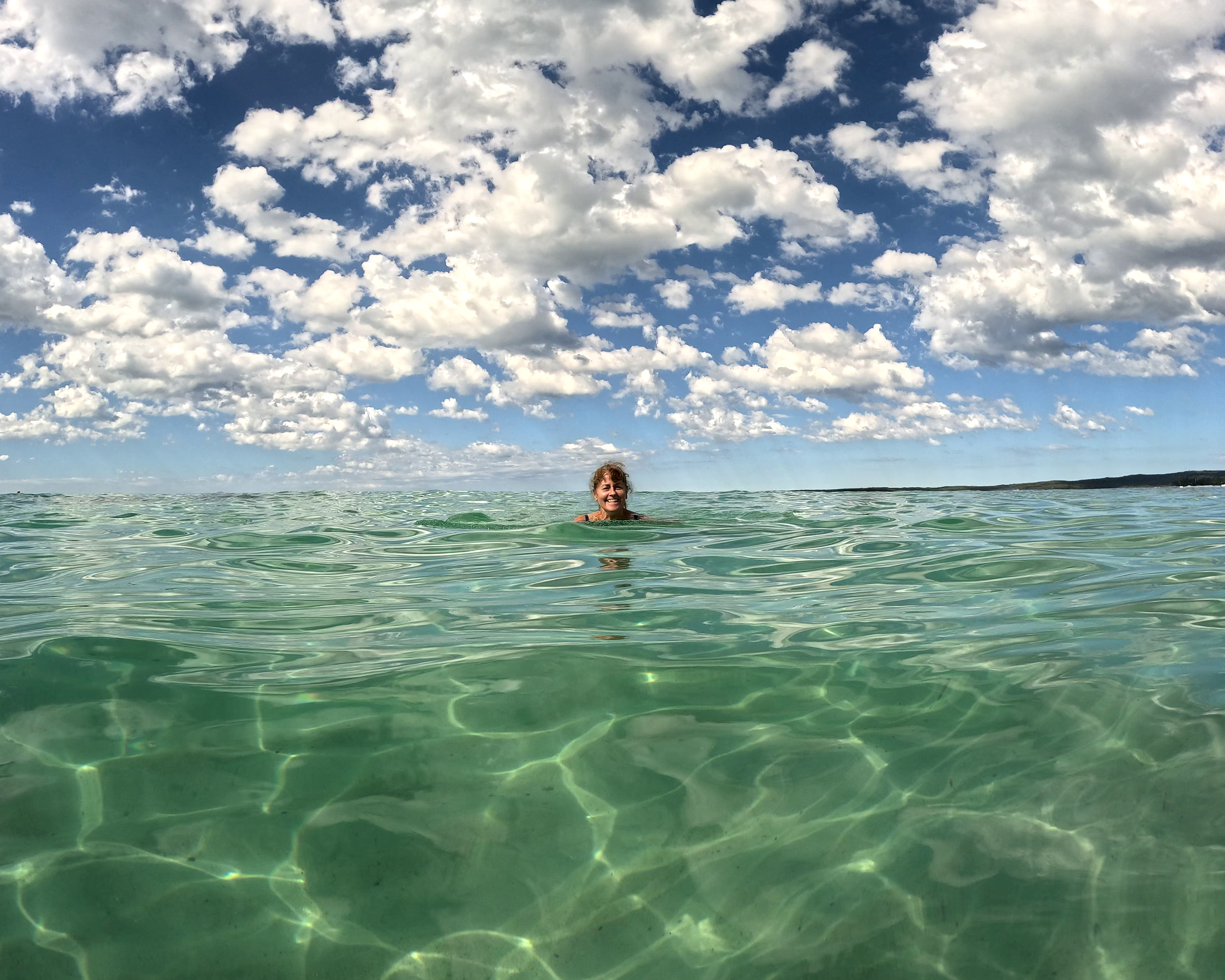
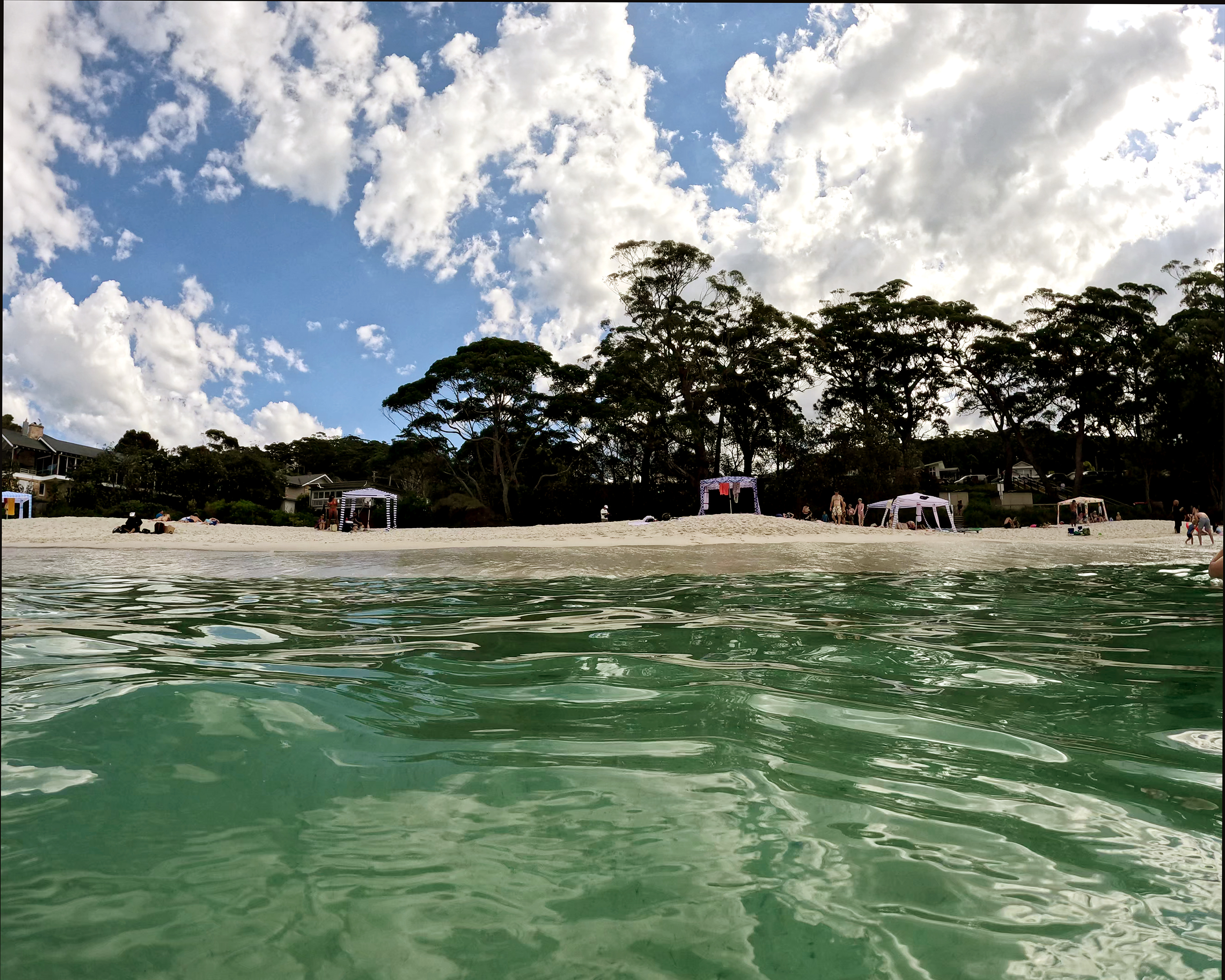
Amazingly clear water at Little Hyams Beach in Jervis Bay.
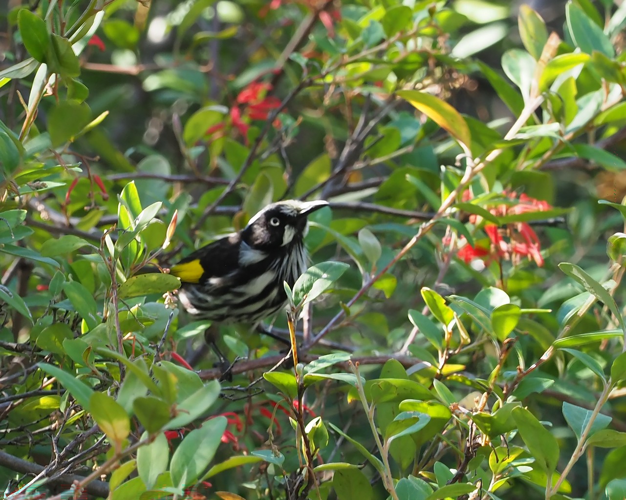
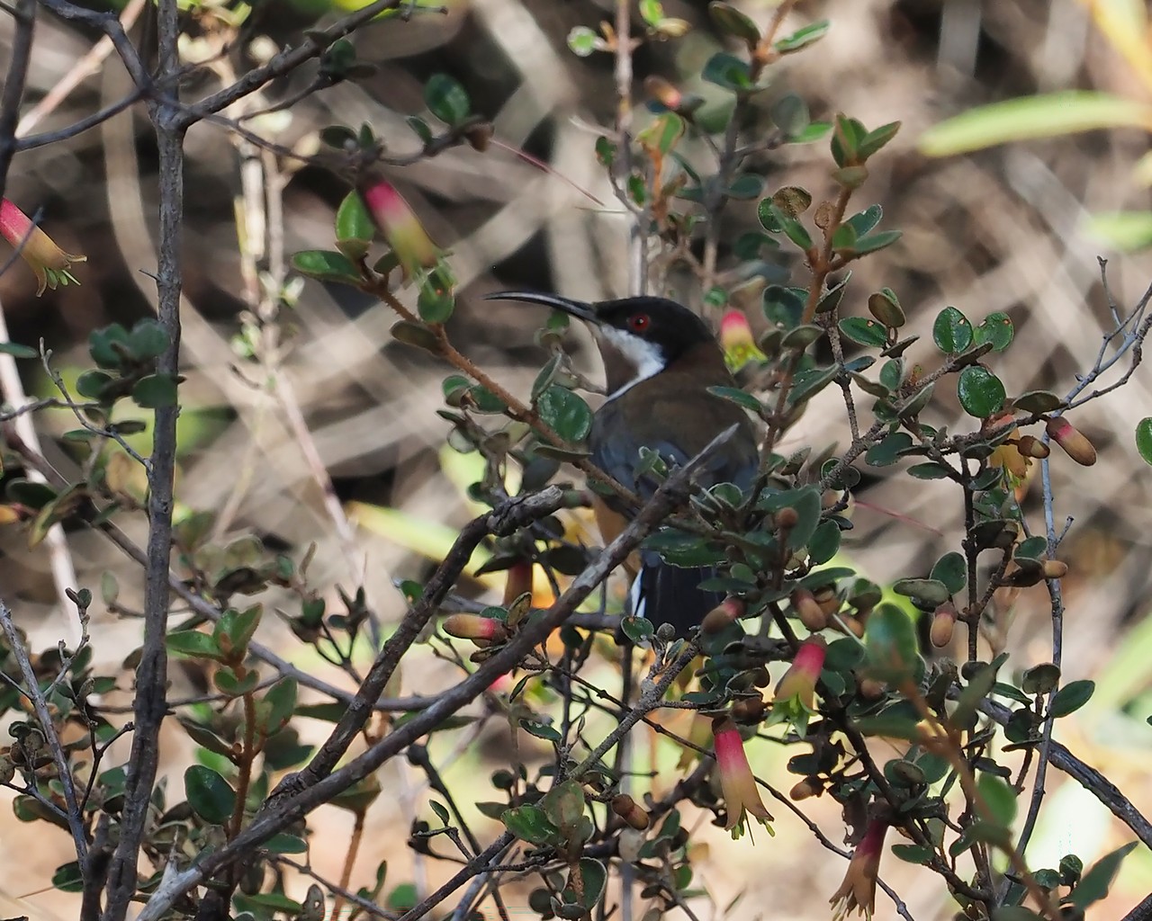
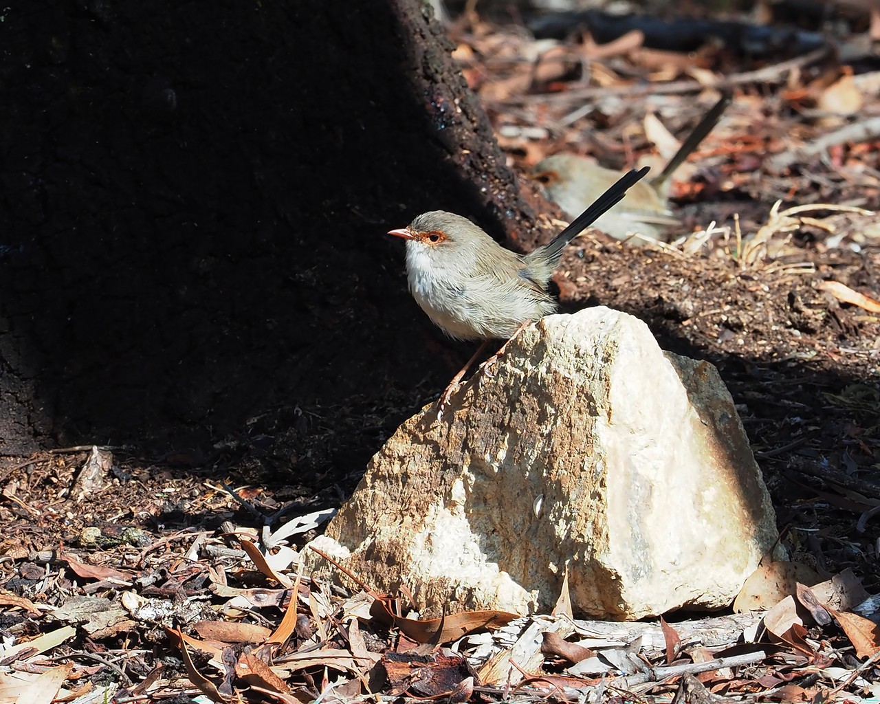
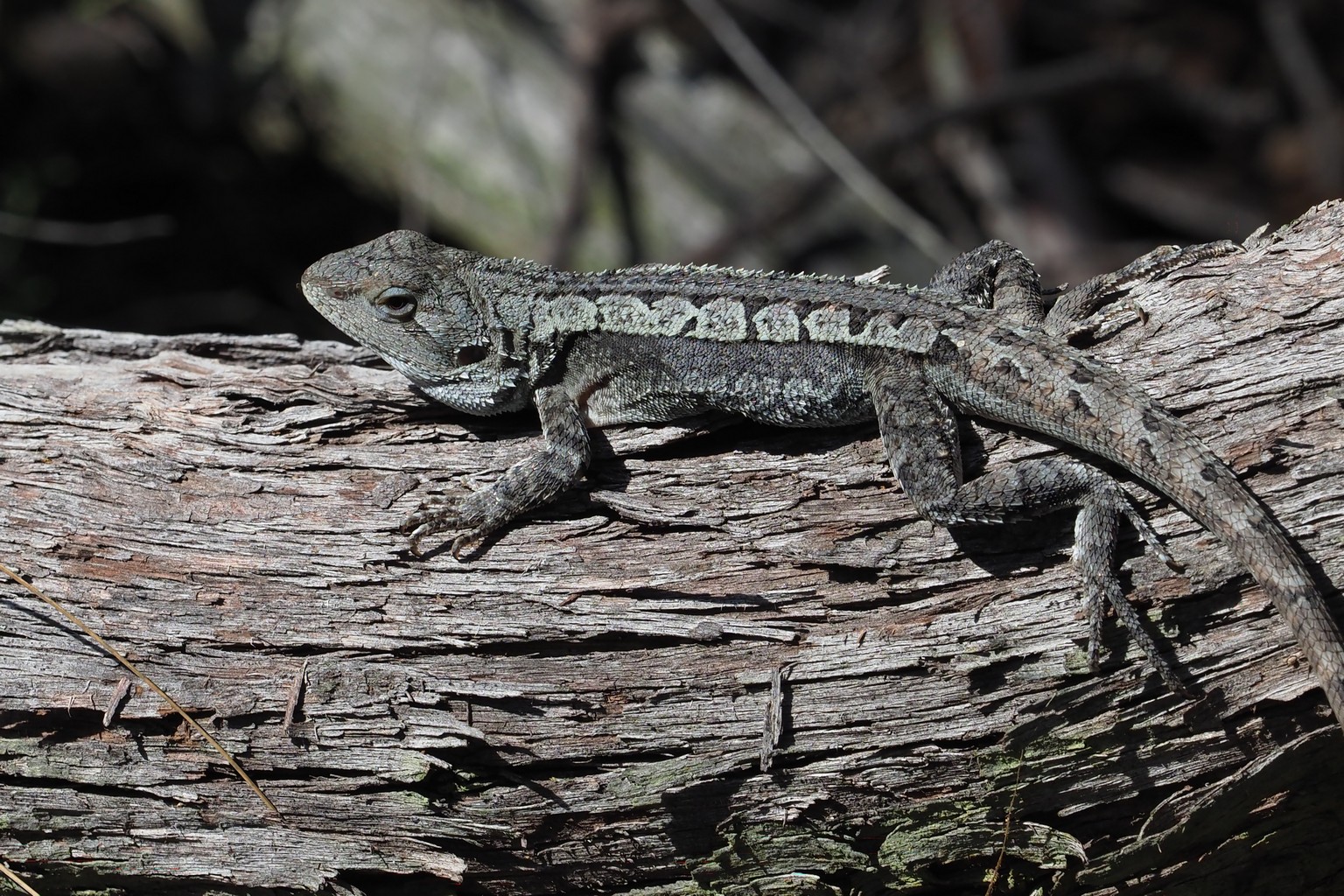
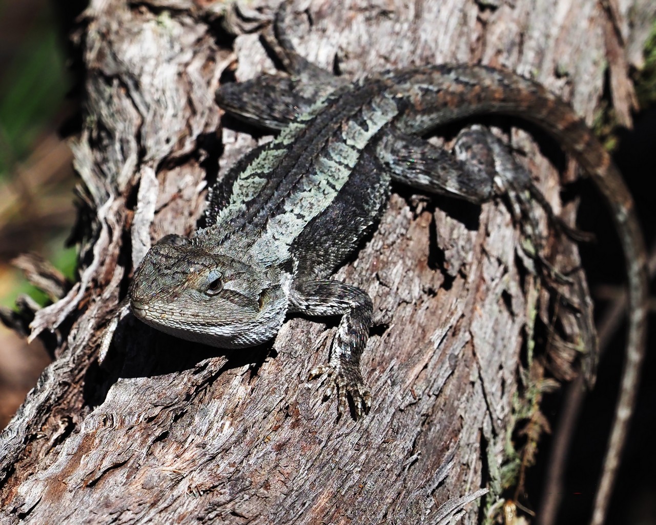
We detoured inland to Canberra, and walked through the botanical gardens to the top of Black Mountain. Still to identify the birds and lizard shown above.
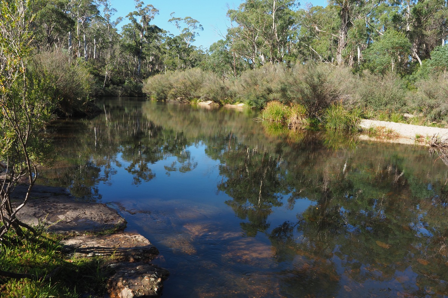
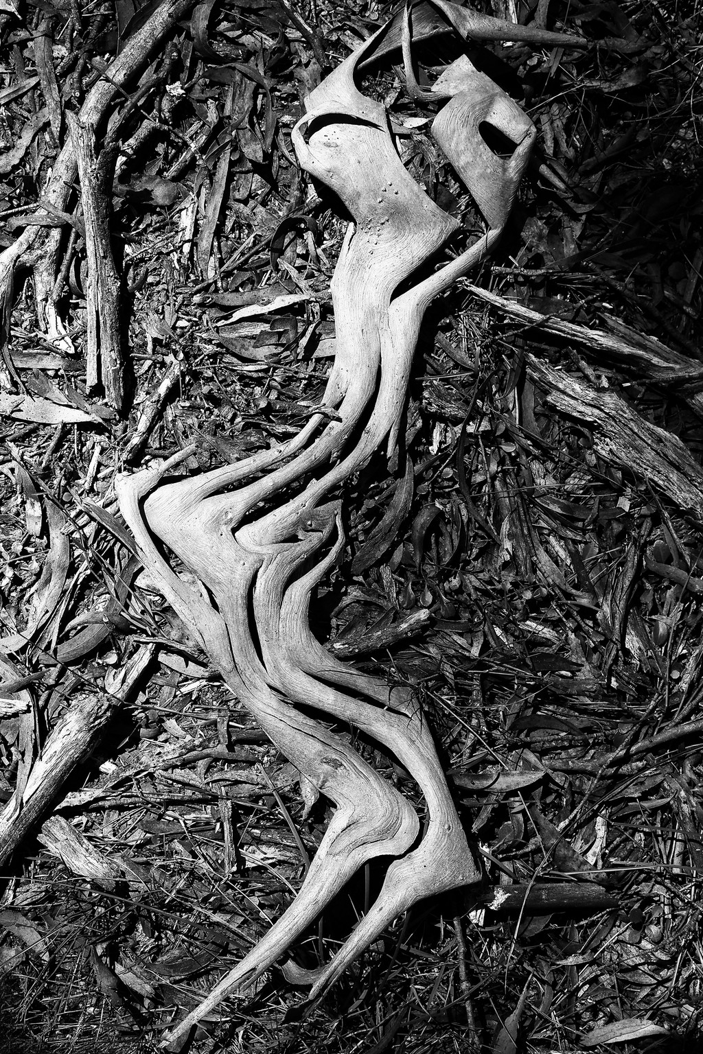
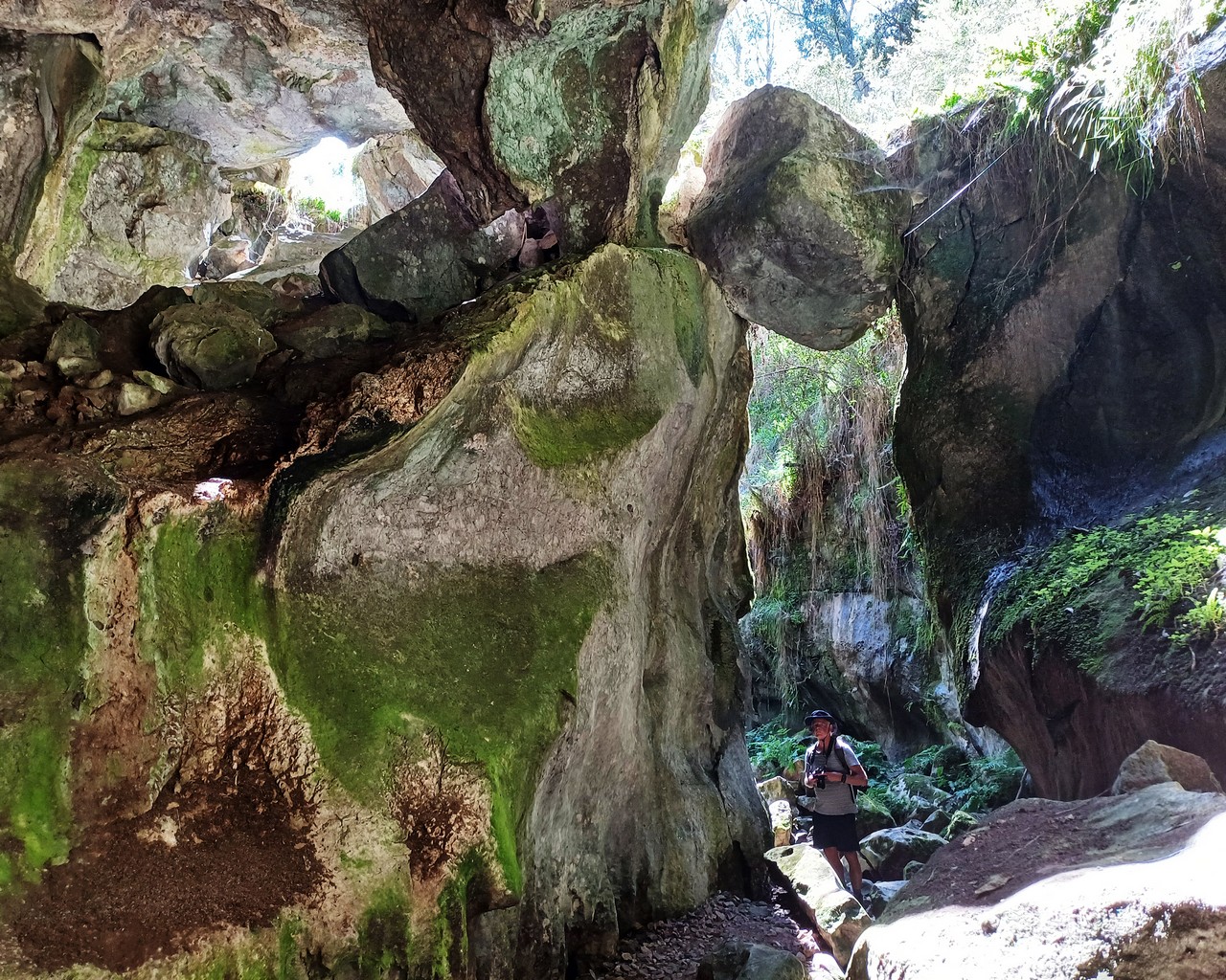
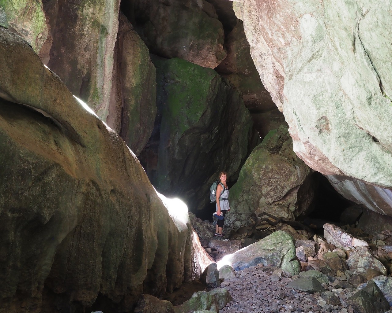
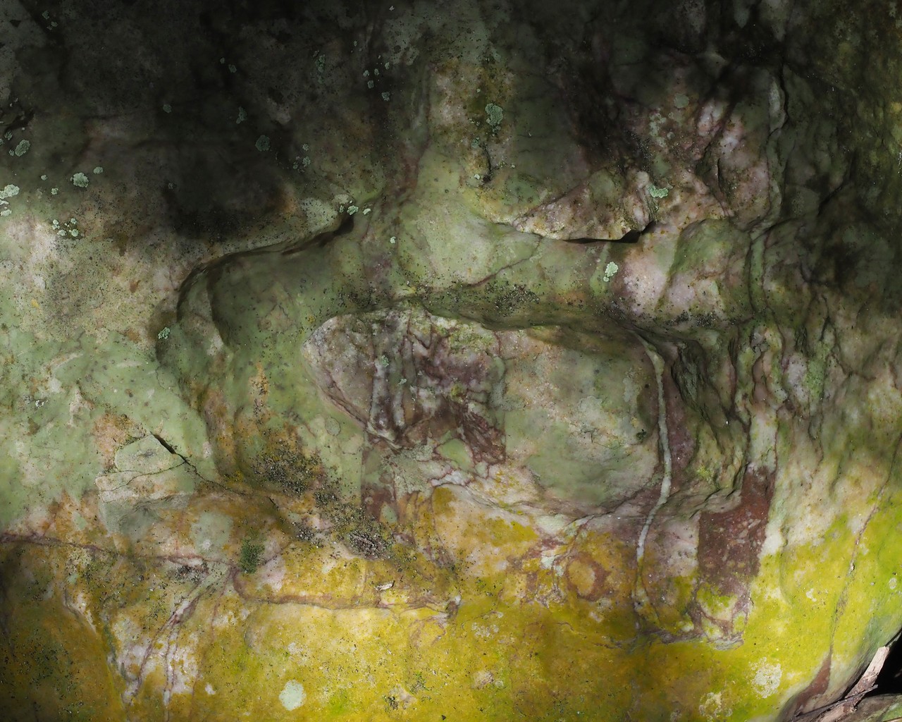
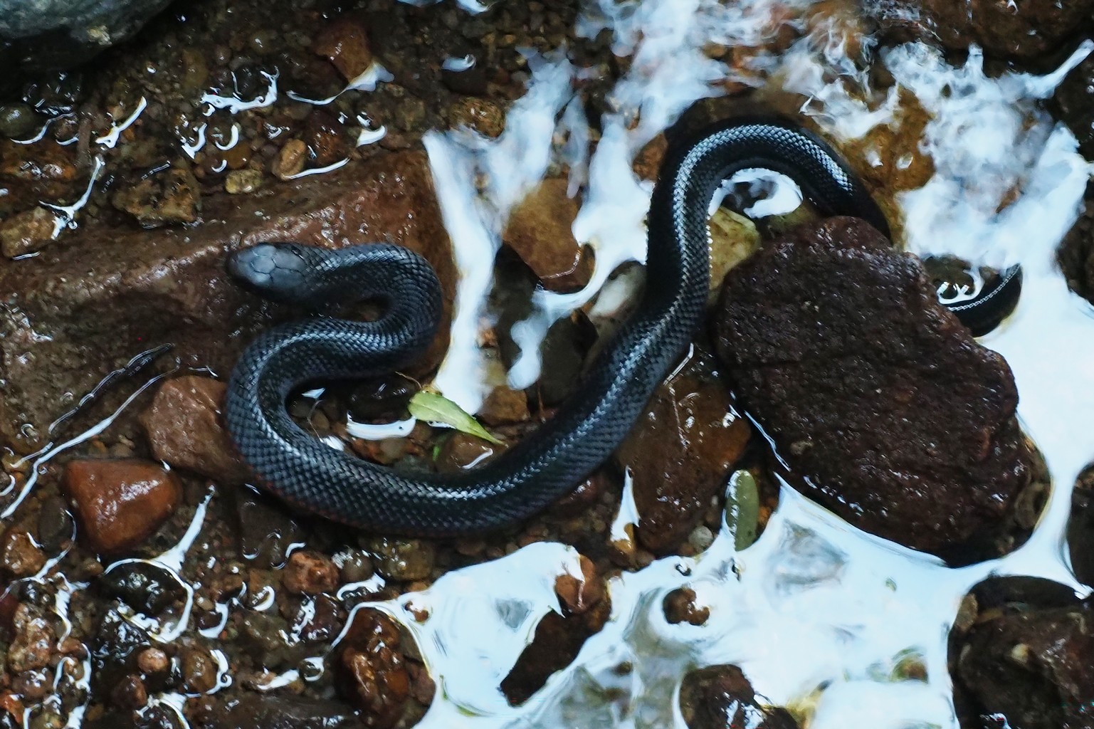
Returning from Canberra to the coast, we entered the Deua National Park, and walked to the Big Hole and Marble Arch. Tiny snakes enjoyed basking on the rocks in the Marble Arch gorge – this one was less than 20 cm long.
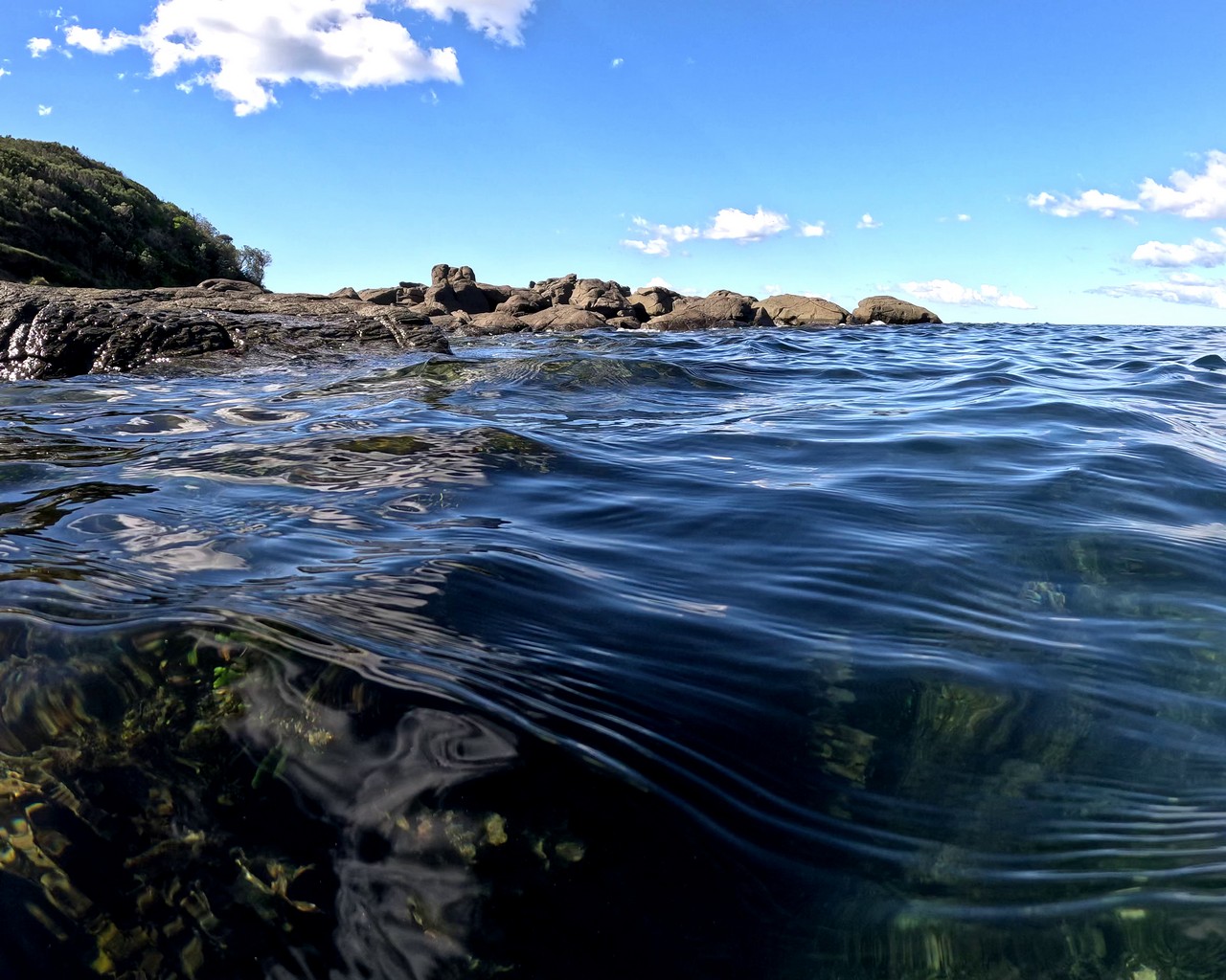
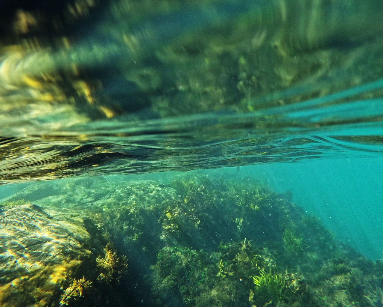
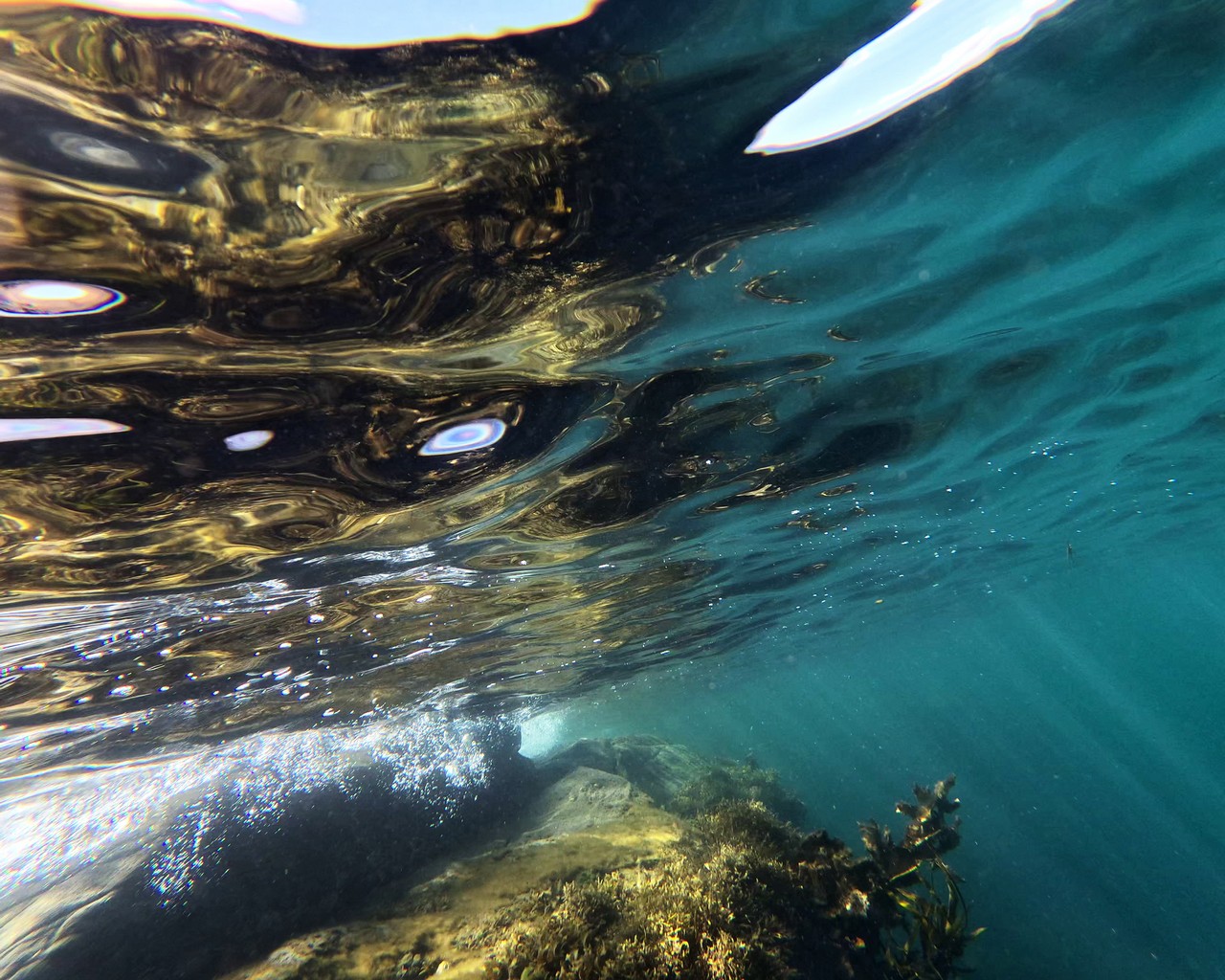
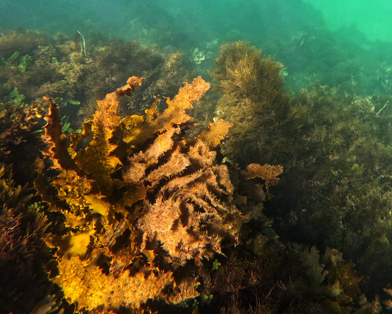
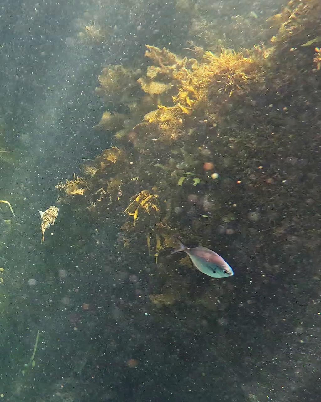
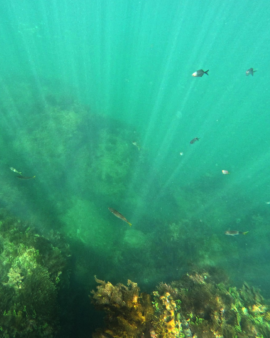
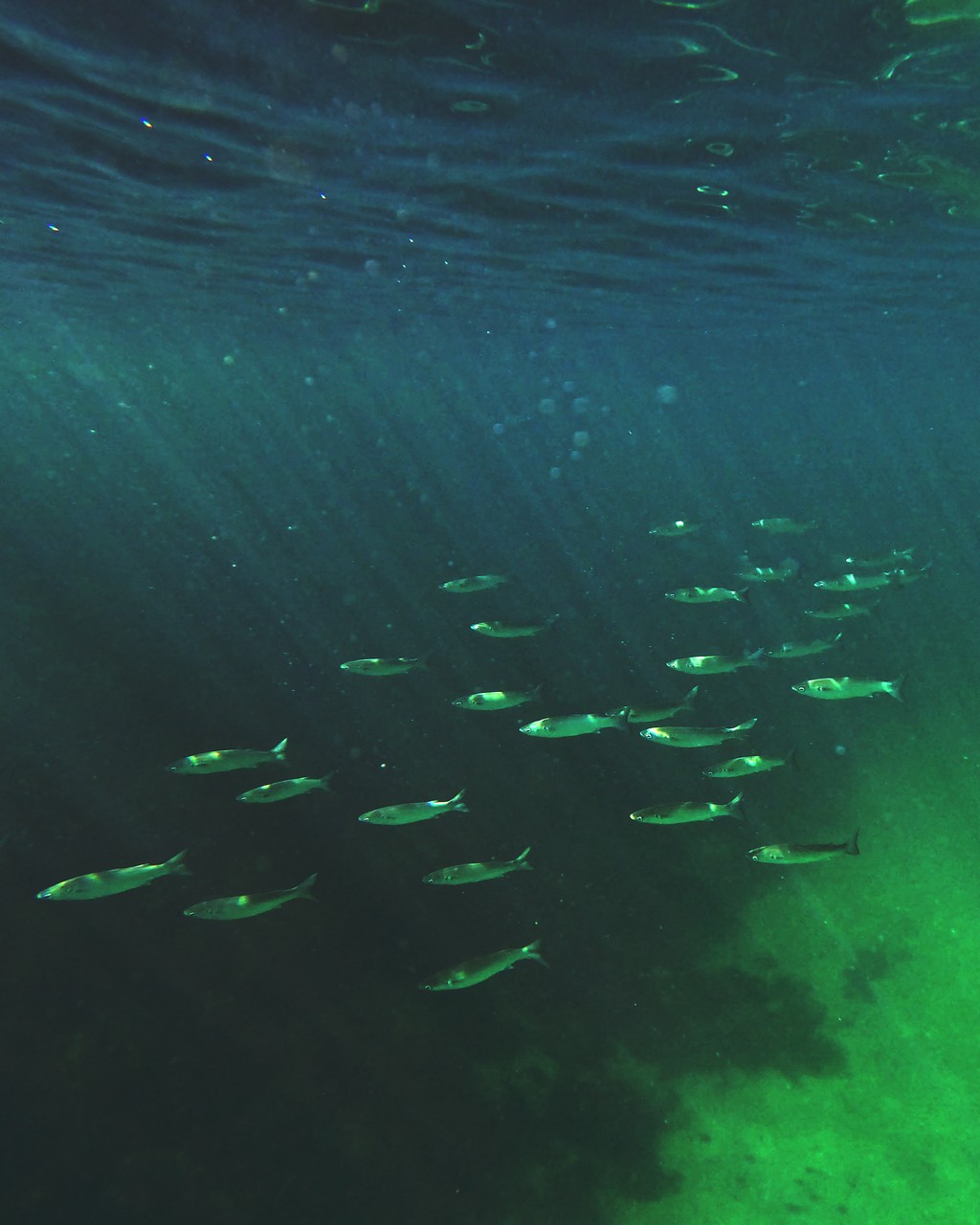
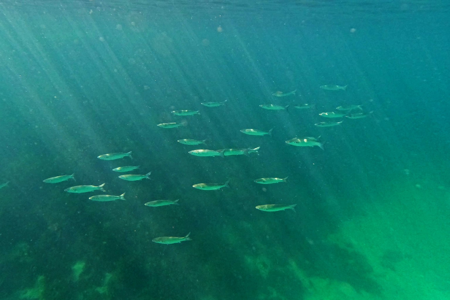
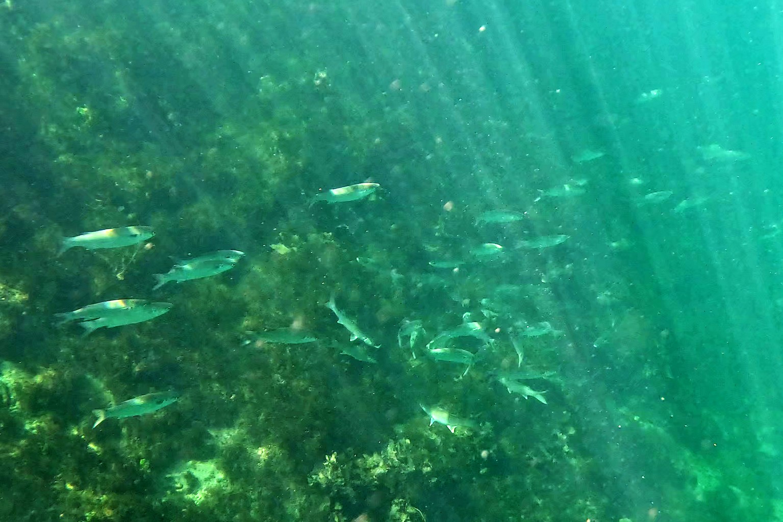
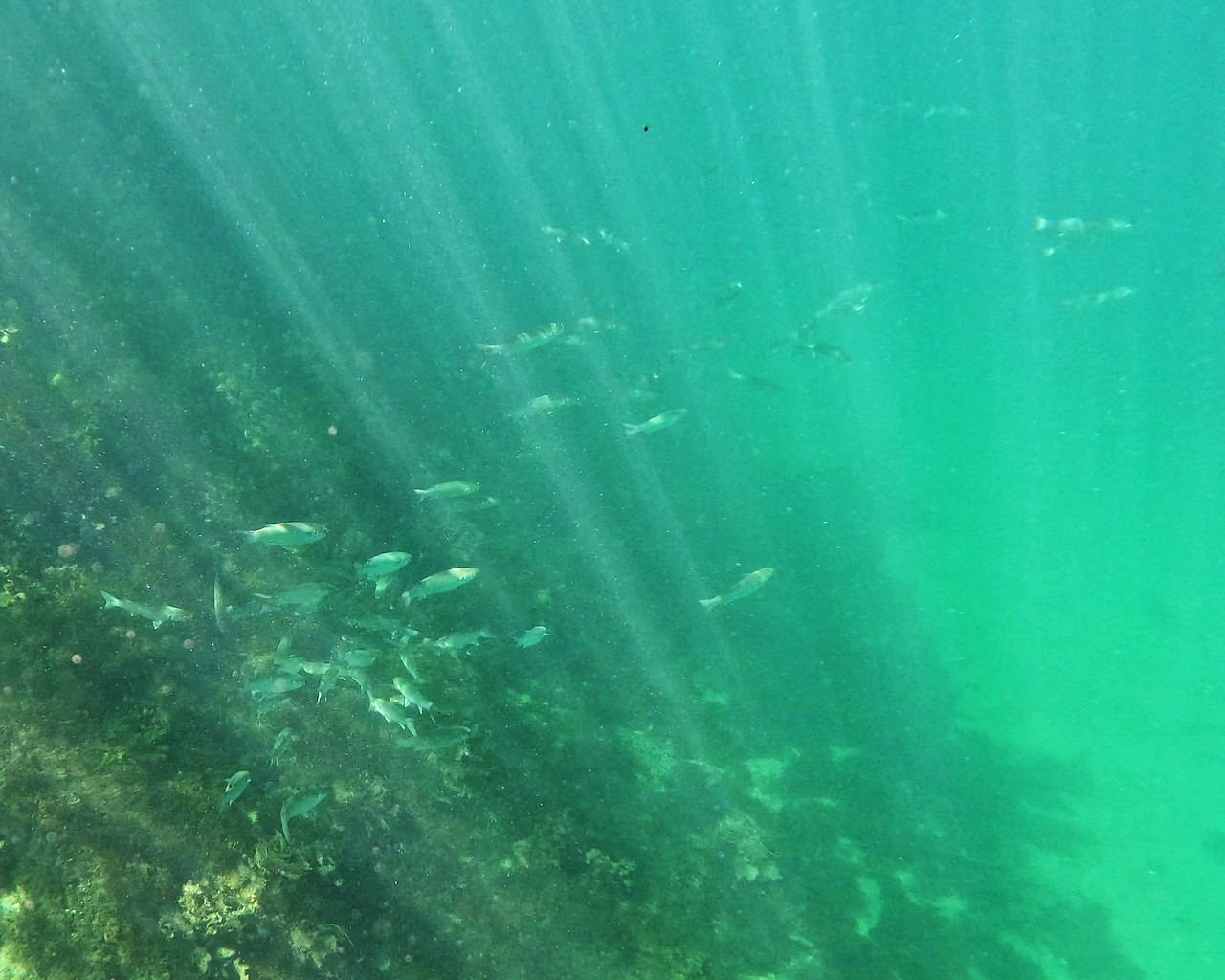
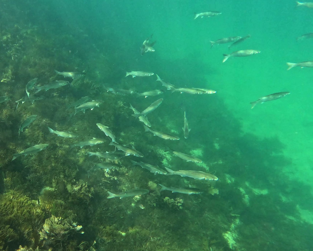
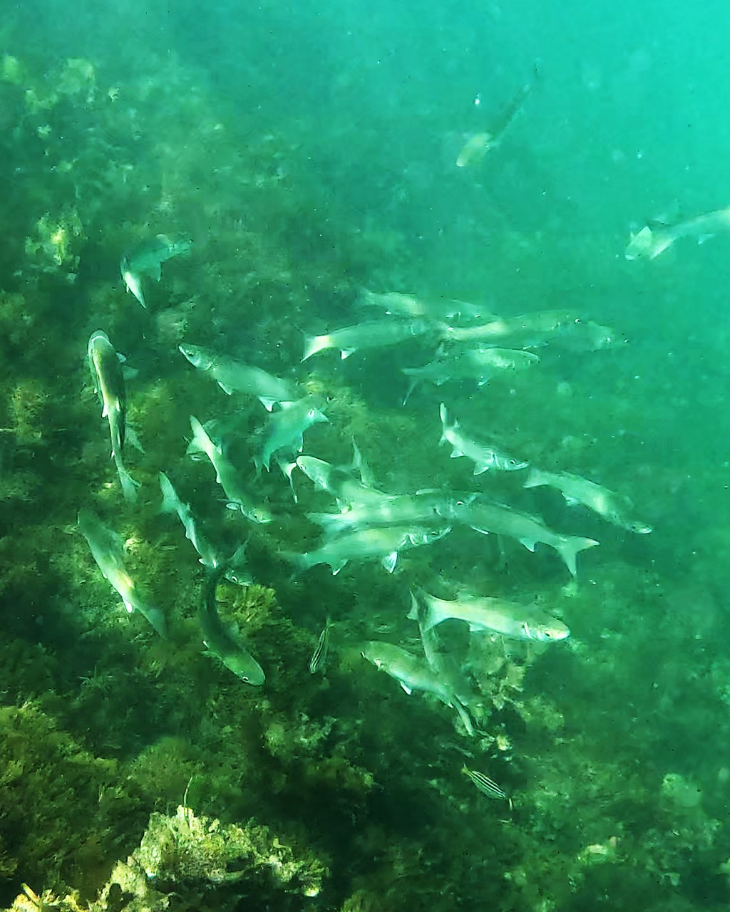
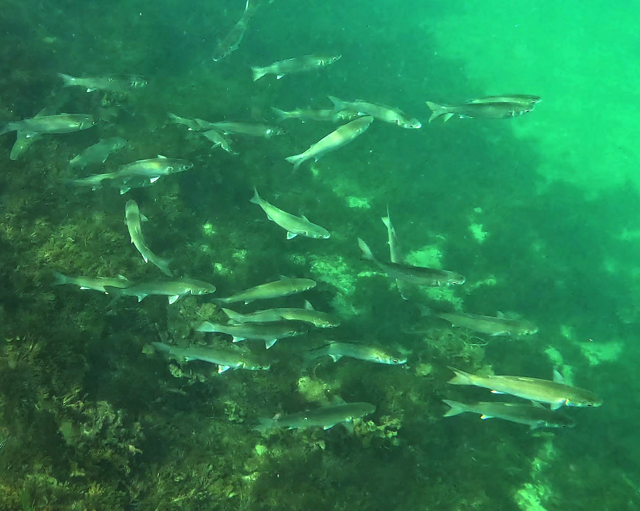
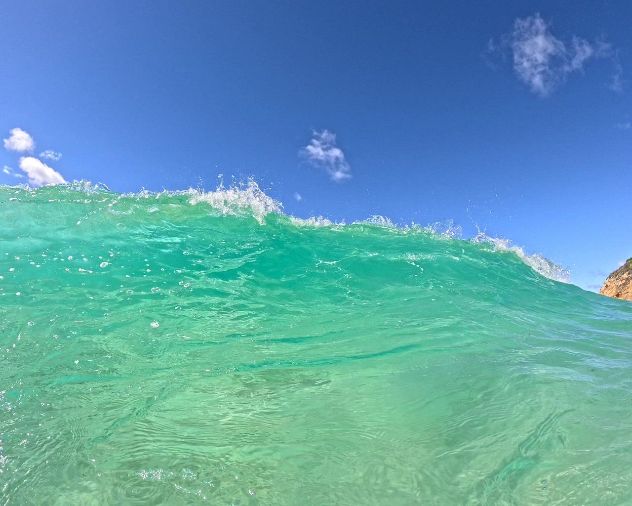
Returning to the coast at Batemans Bay, we were overwhelmed with choices of beaches to swim at. One of our favourites was on the south side of Broulee Island, where I took the following images while snorkelling. The big school of what I guess are mullet may have been spawning.
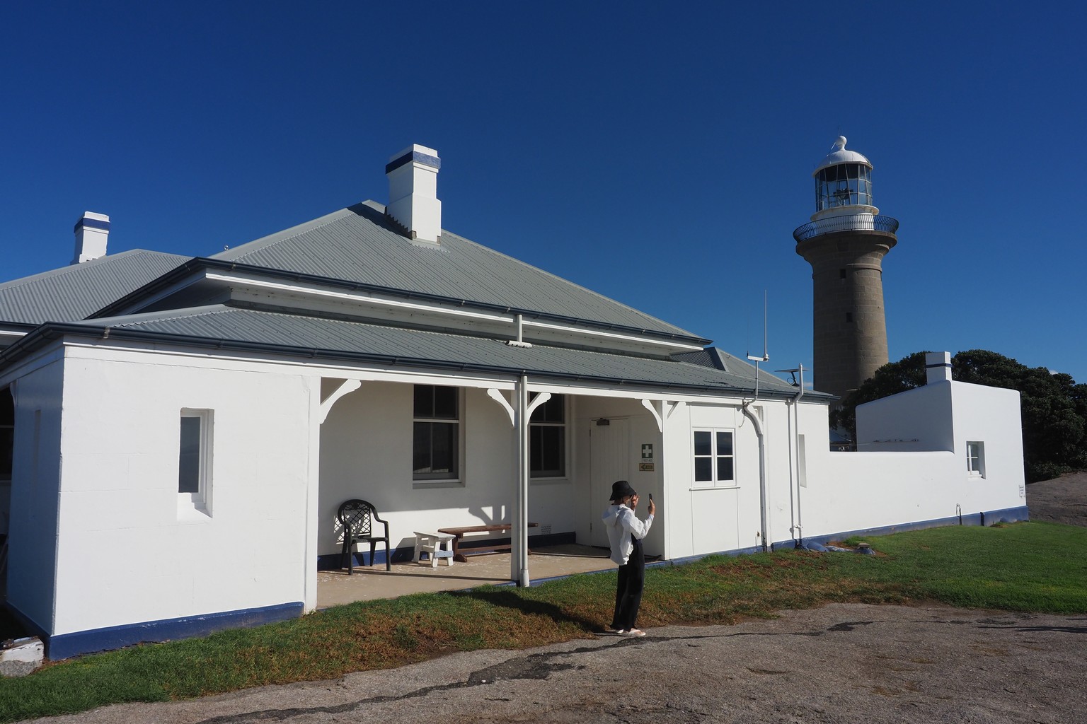
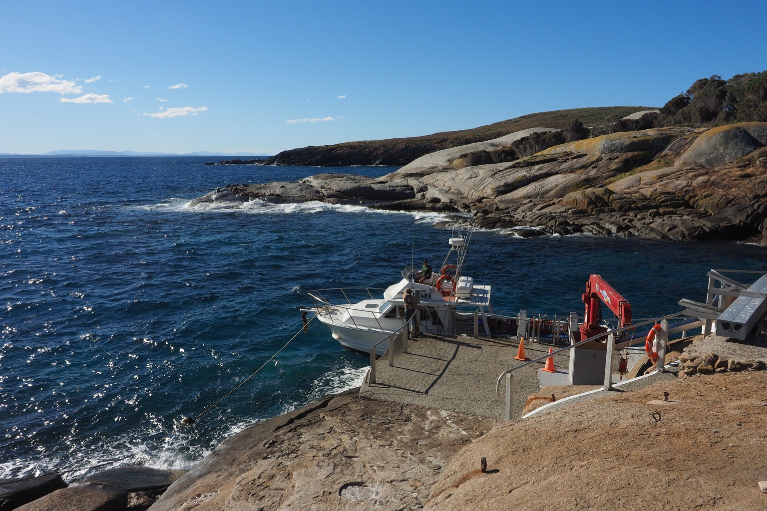
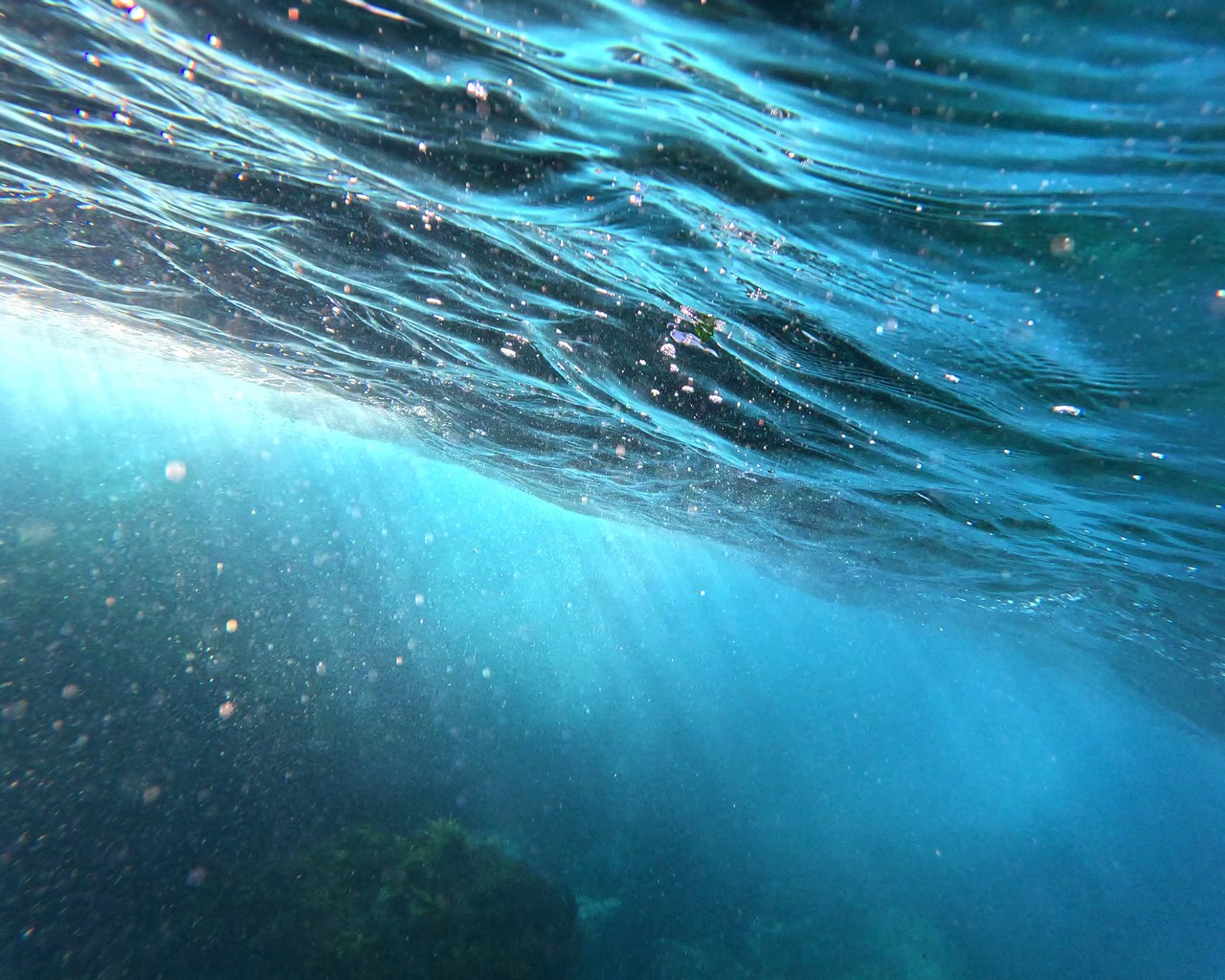
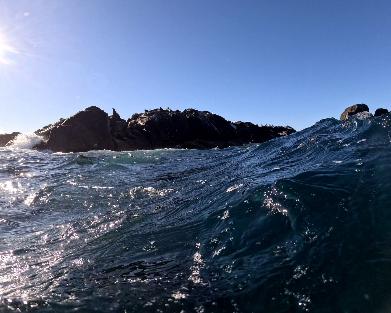
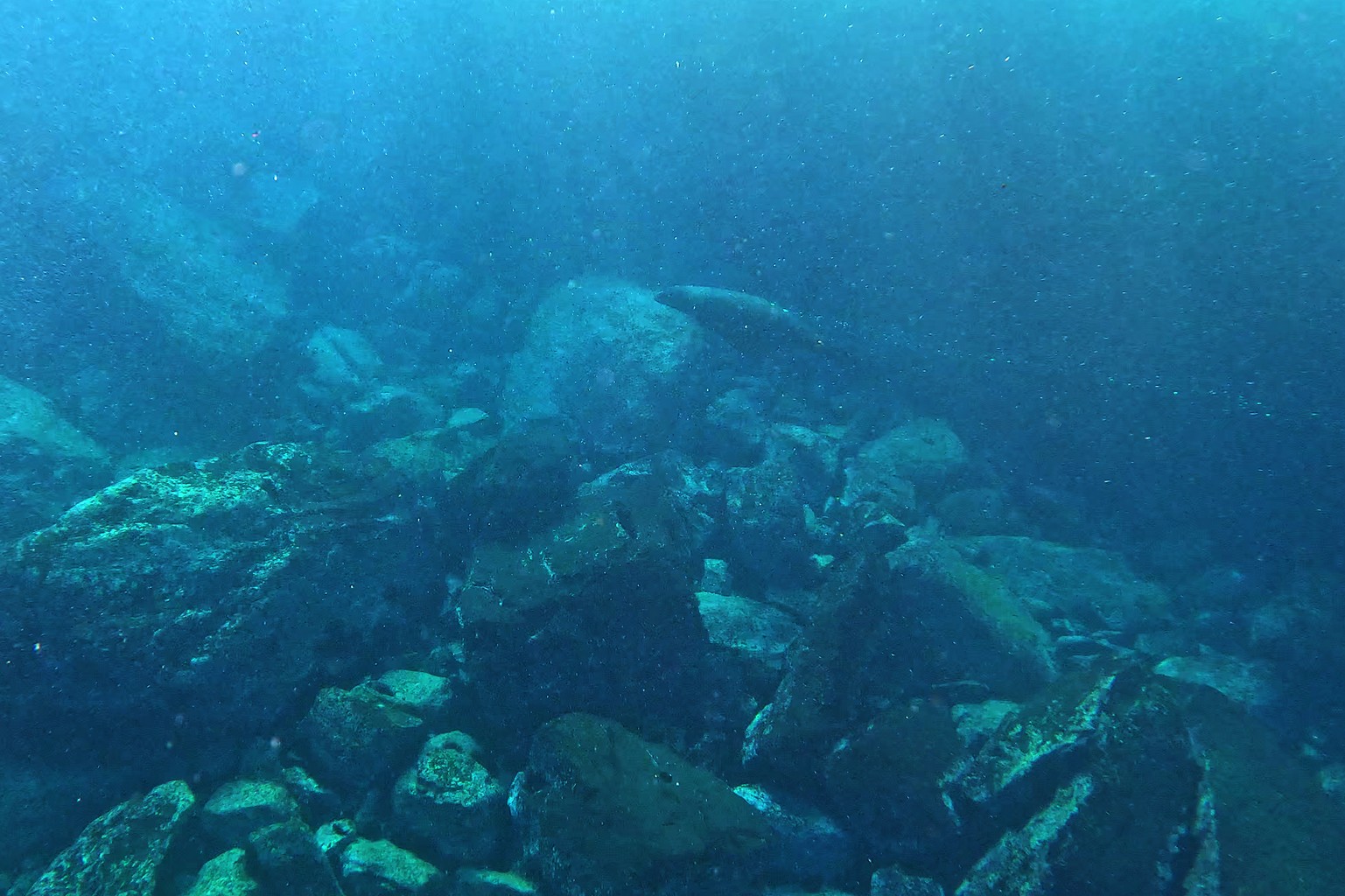
At Narooma, we went on a boat trip which took us to Montague Island. We had a guided walk to the historic lighhouse, and then donned wetsuits and snorkelling gear to swim with the seals at a seal colony. The sea was quite rough and the seals weren’t interested in coming up close.
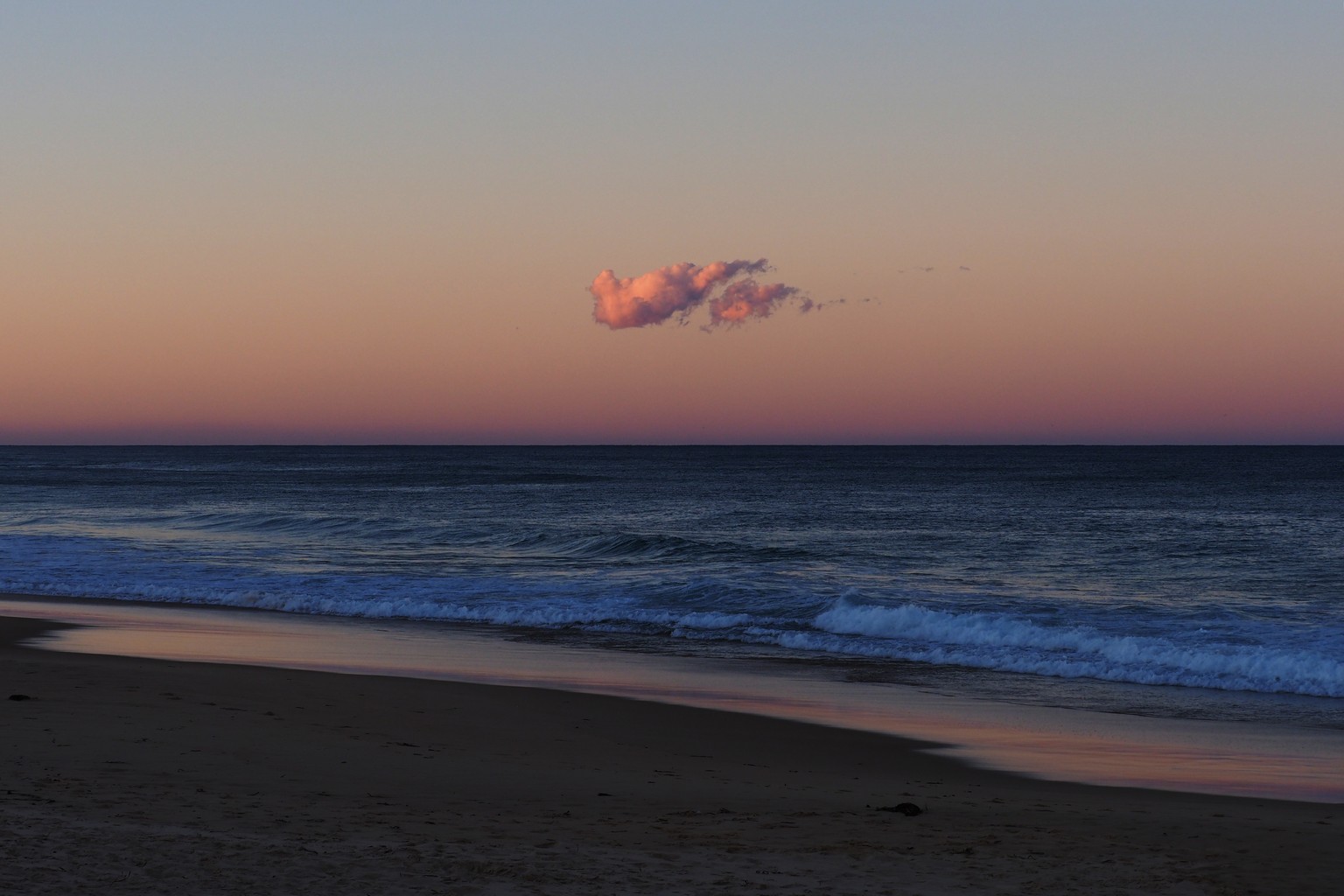
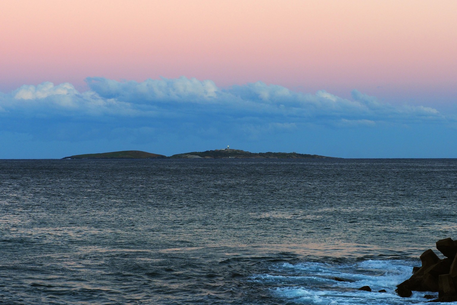
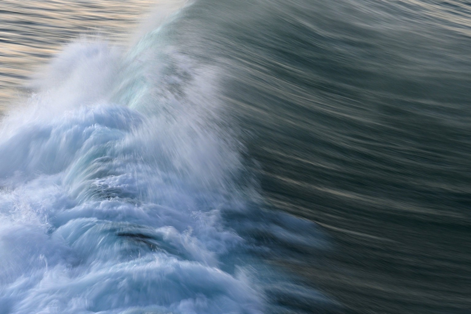
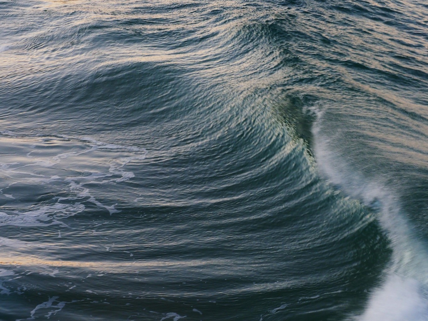
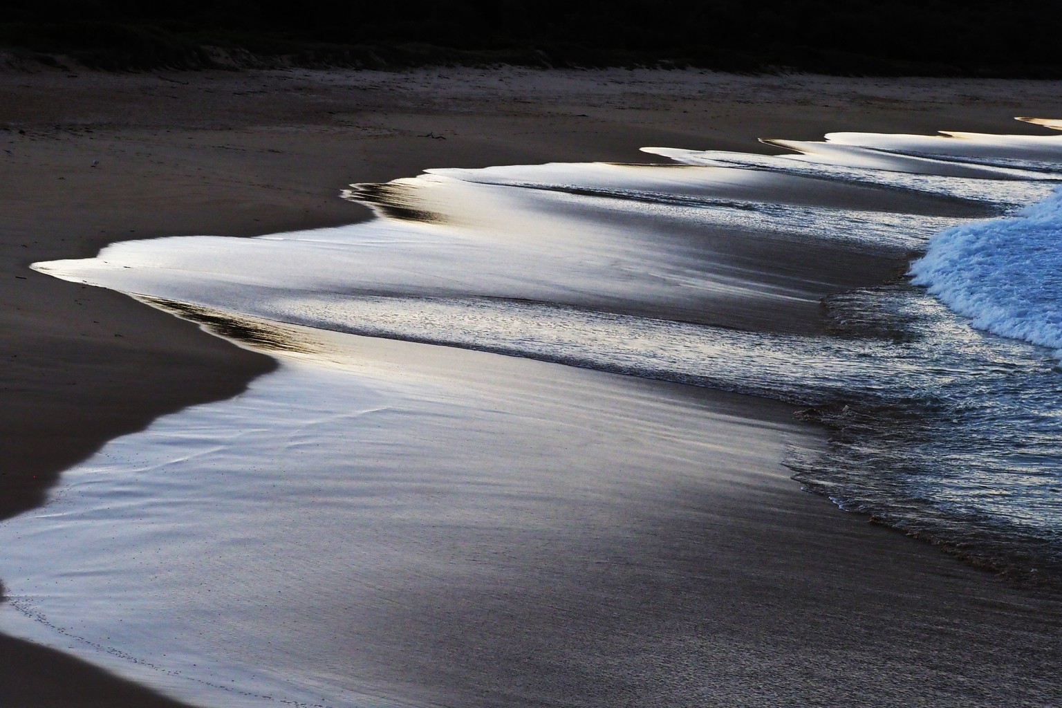
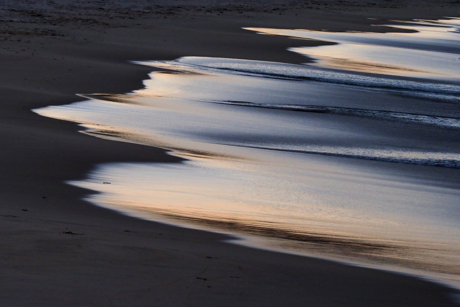
Evening at Narooma, on the northern harbour bar watching the twilight and breakers rolling in onto Bar Beach. Montague Island in the top right image.
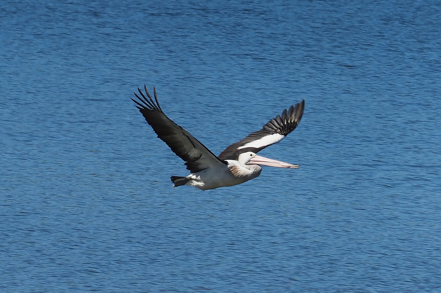
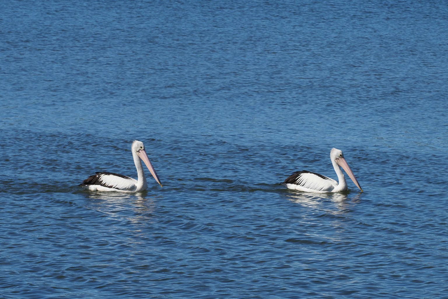
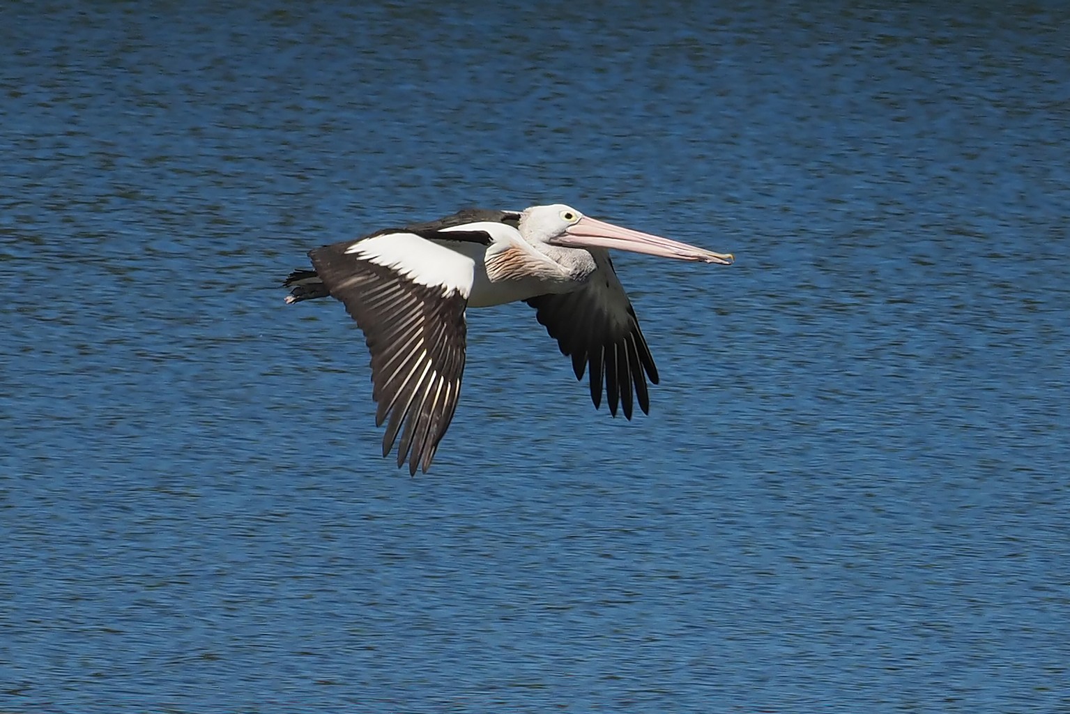
Pelicans at Moruya River.
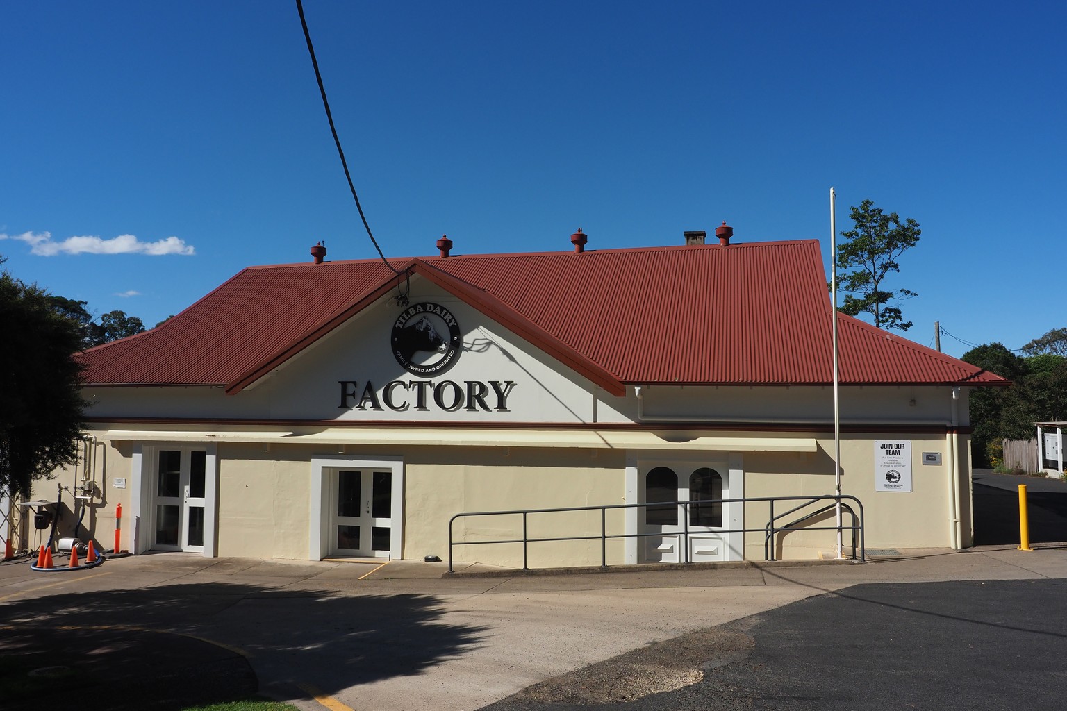
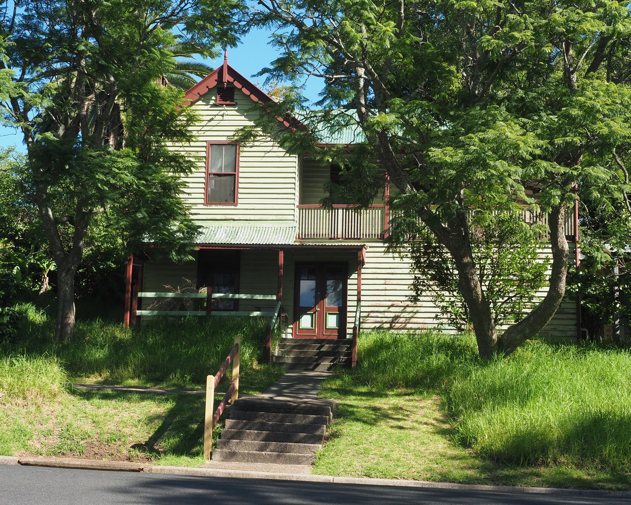
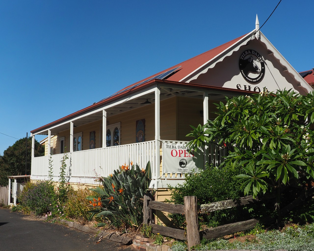
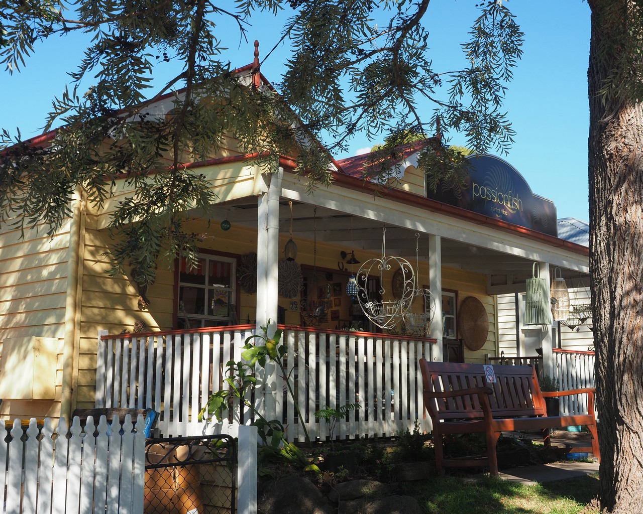
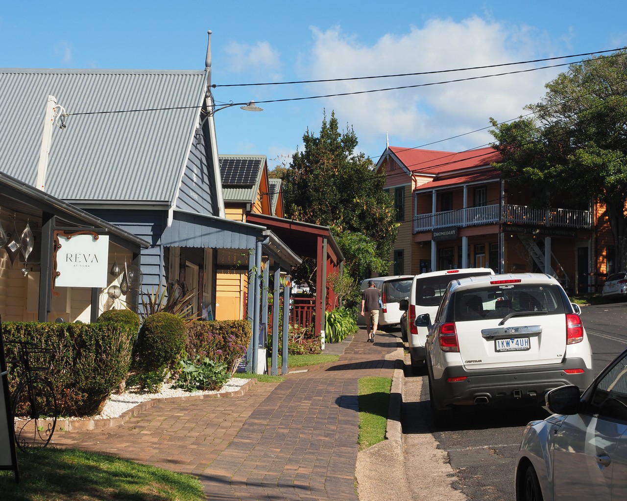
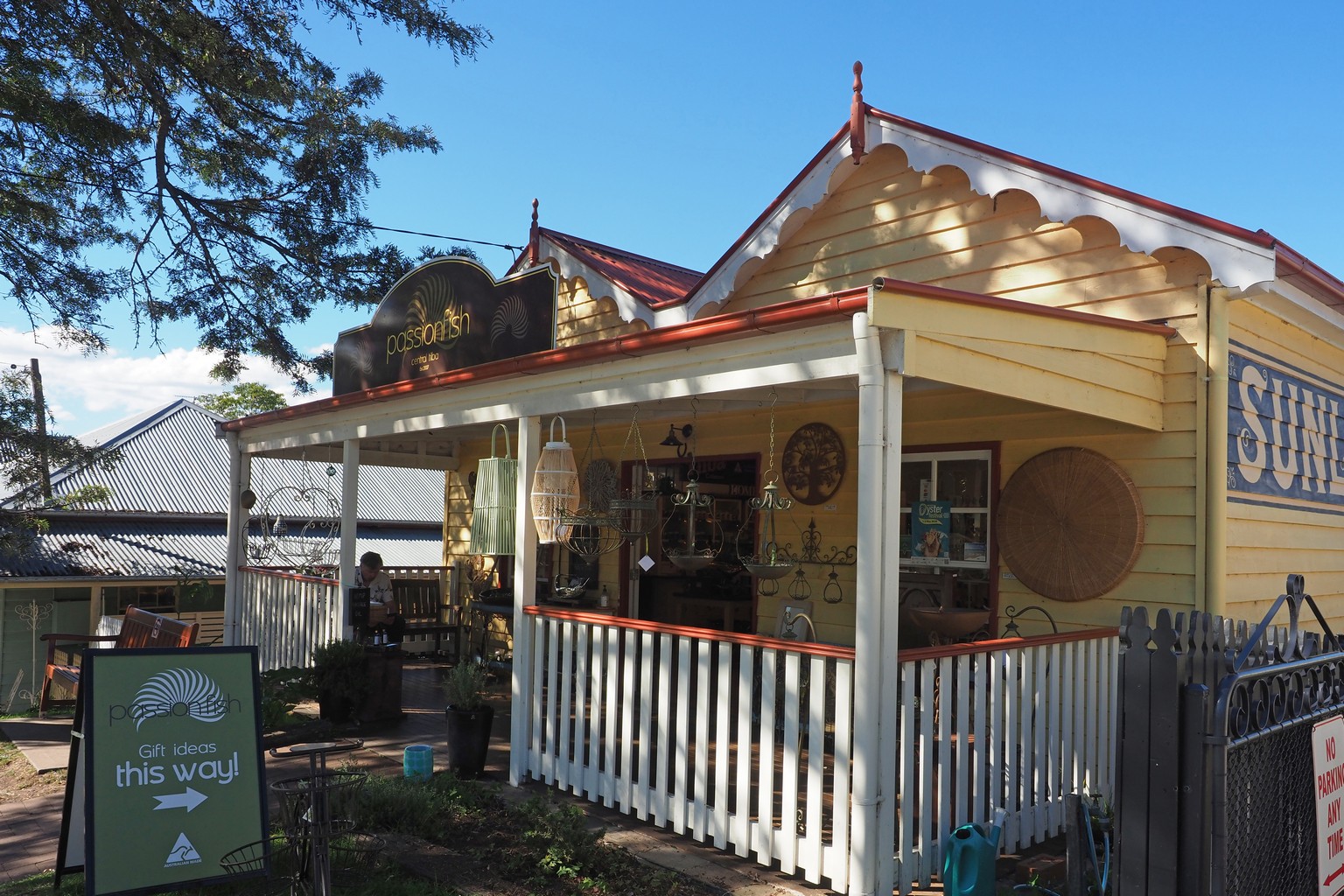
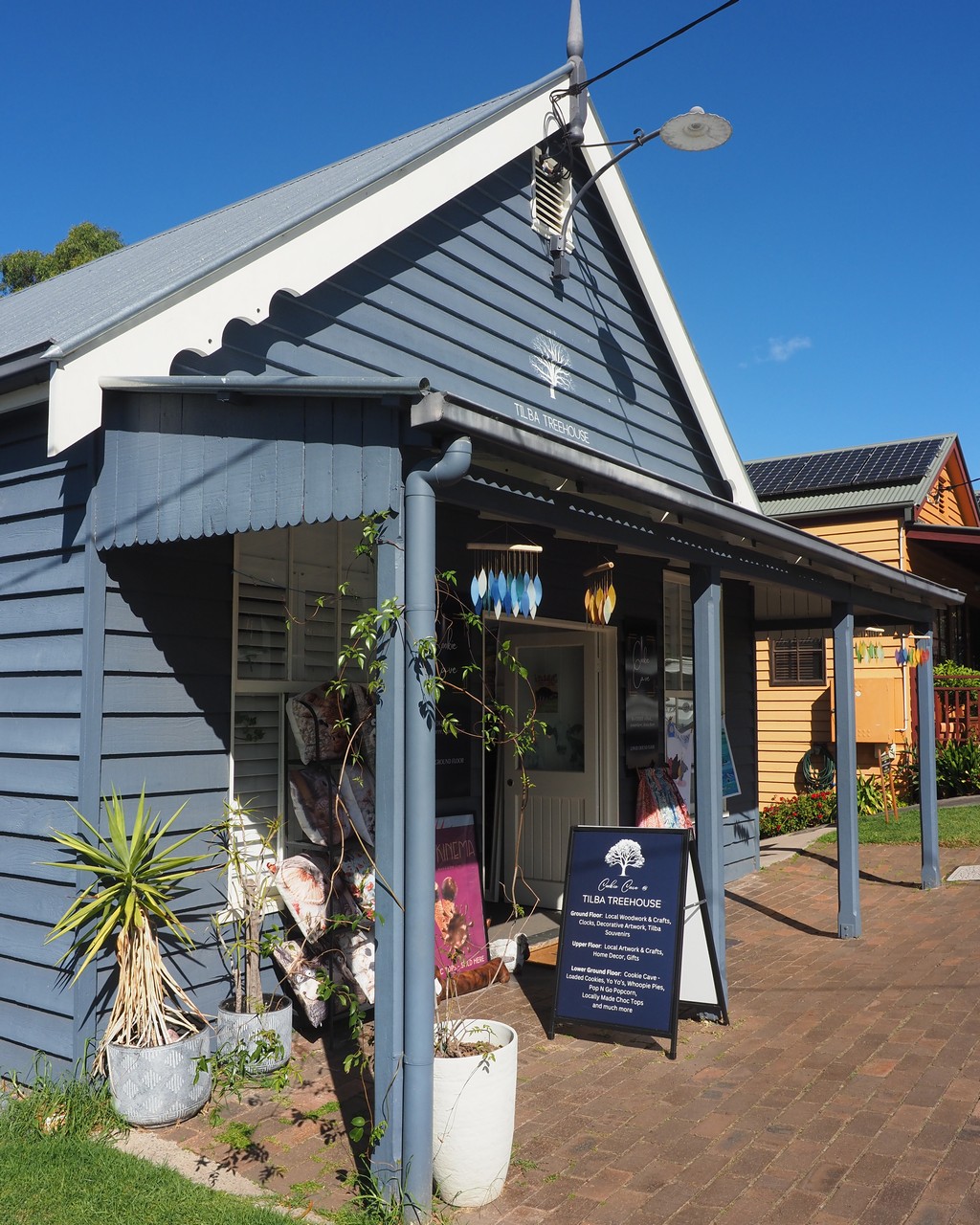
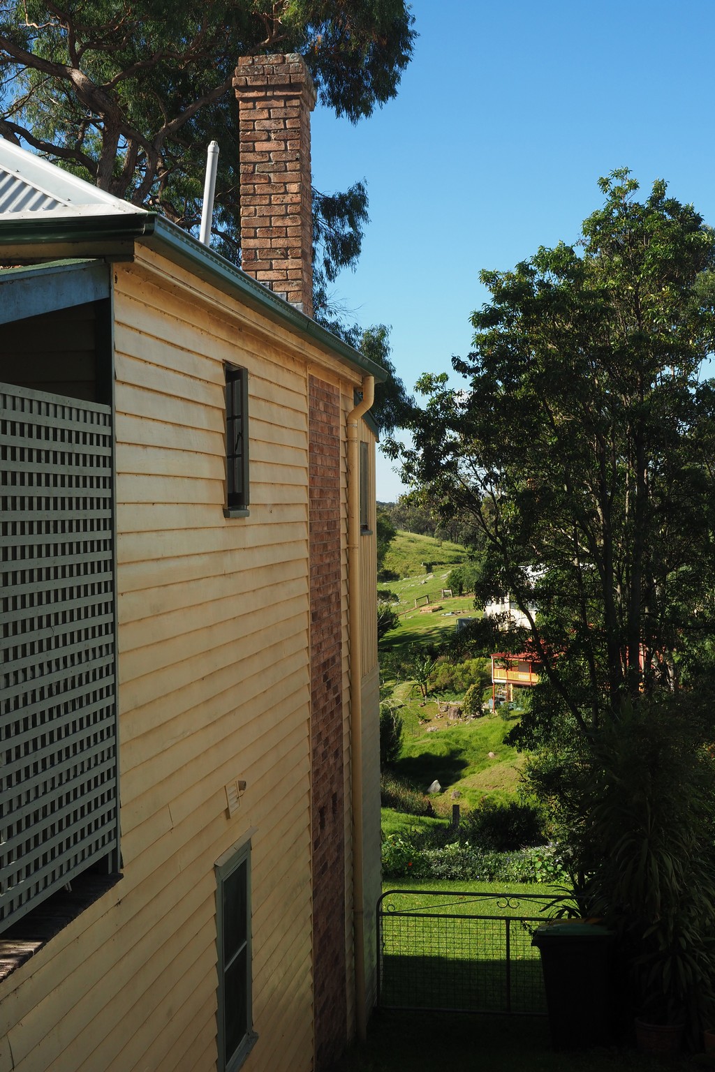
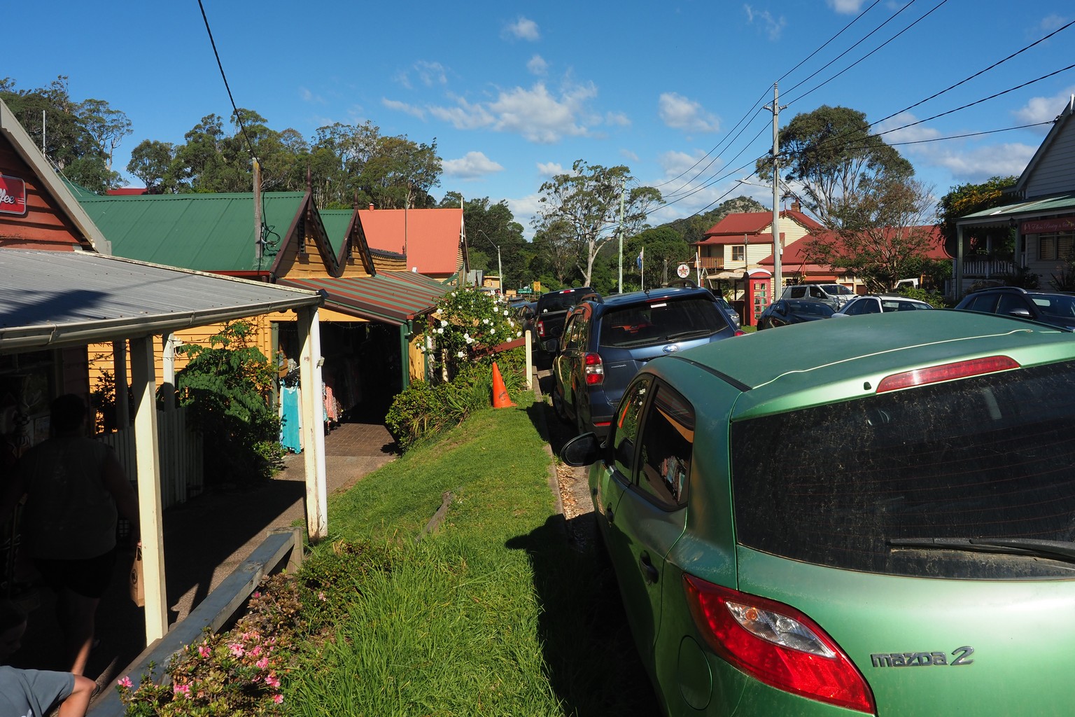
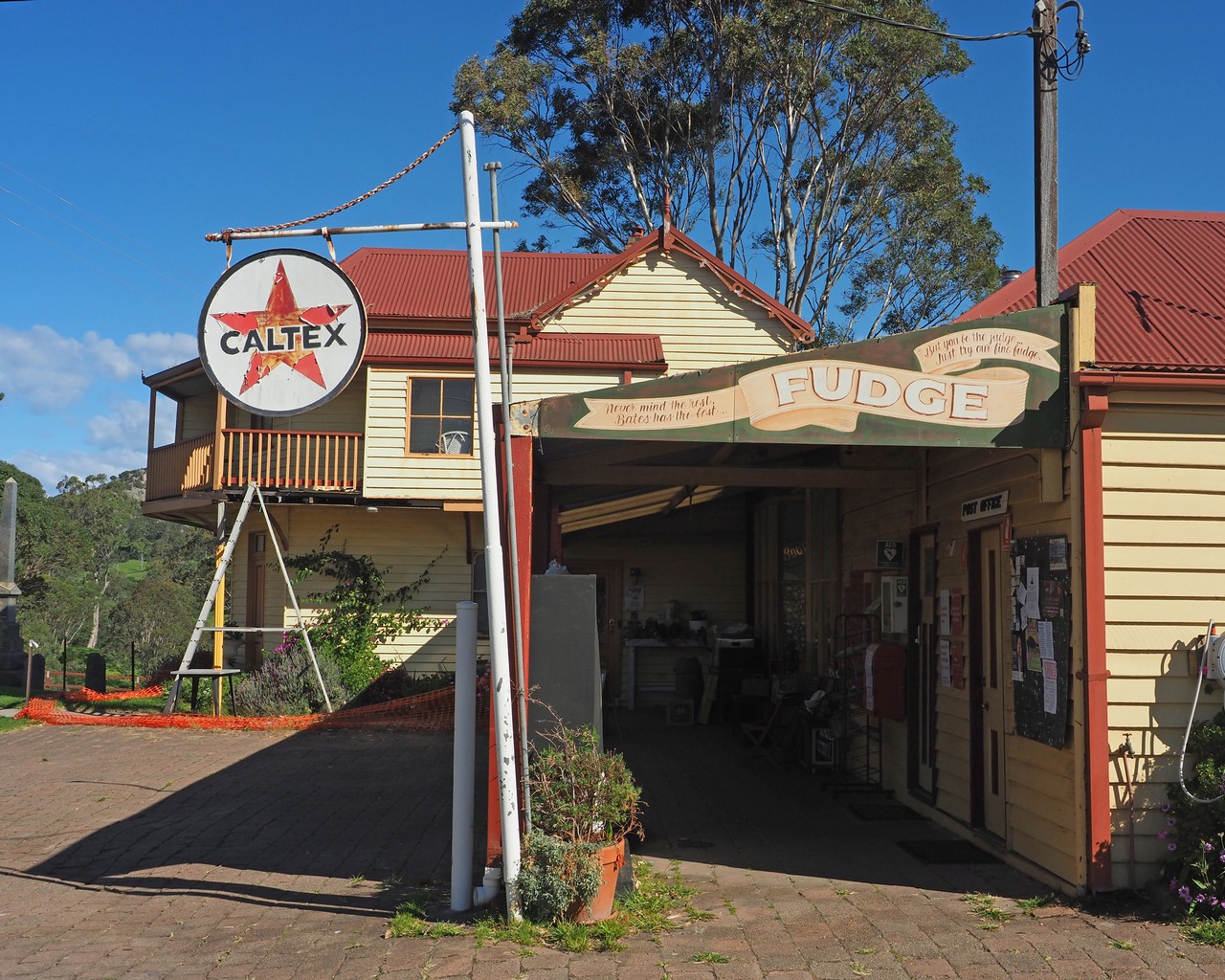
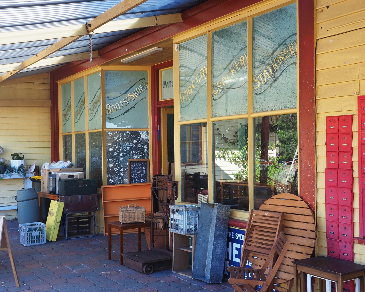
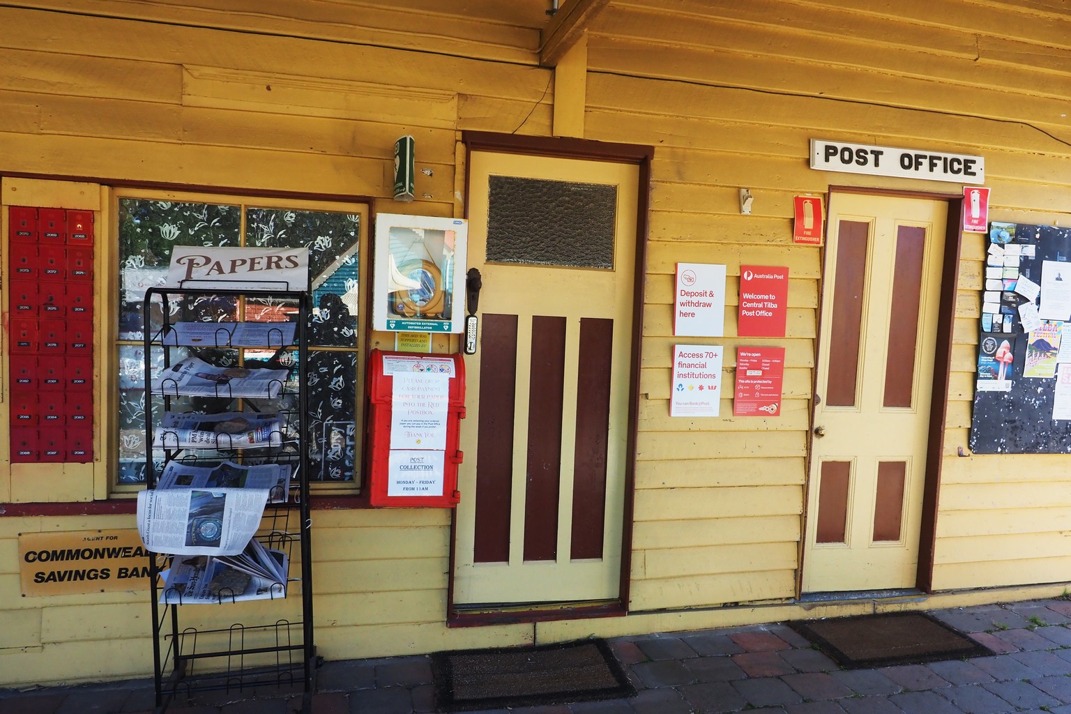
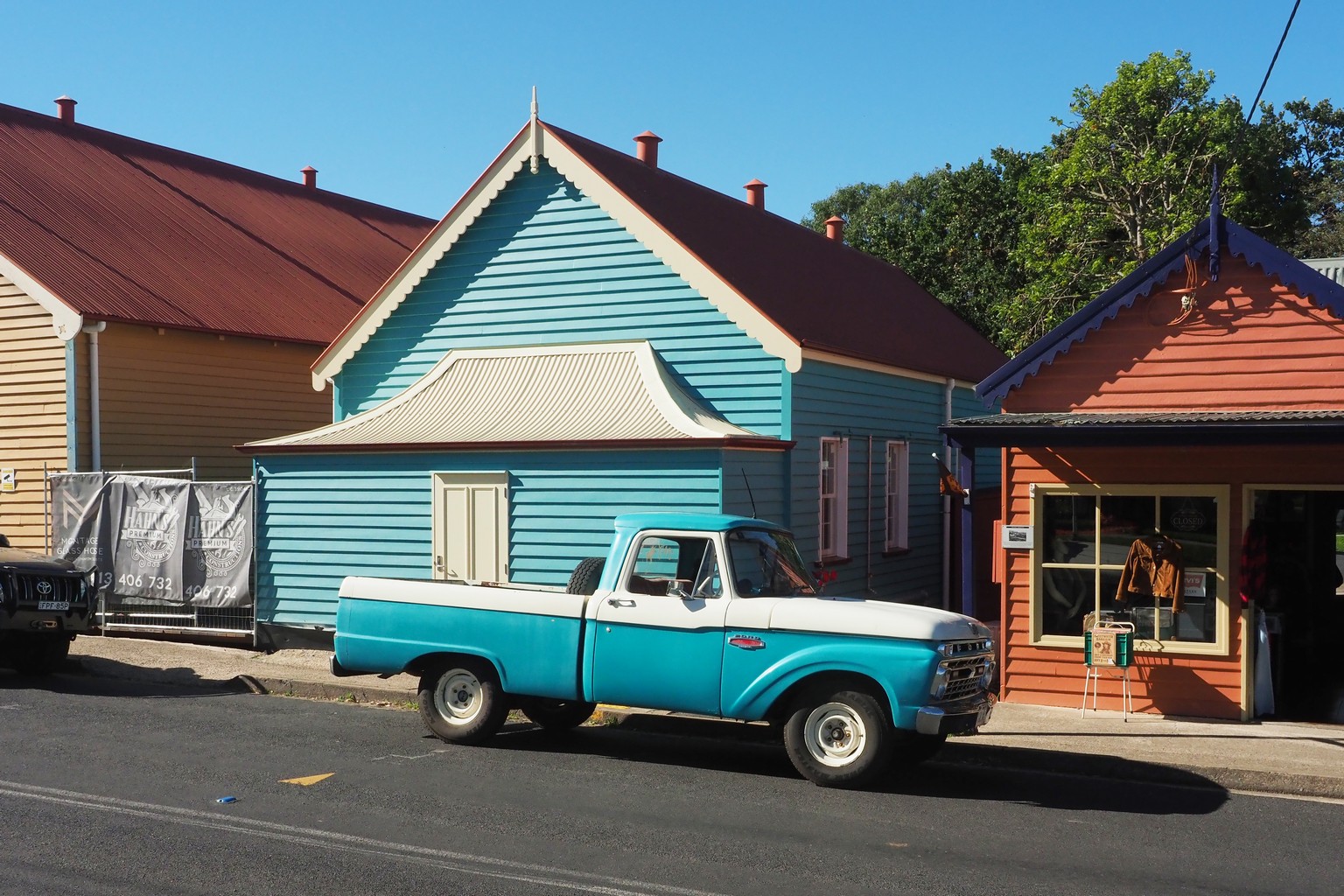
Central Tilba, a cute little village, and I admit that I’ve uploaded far too many images!
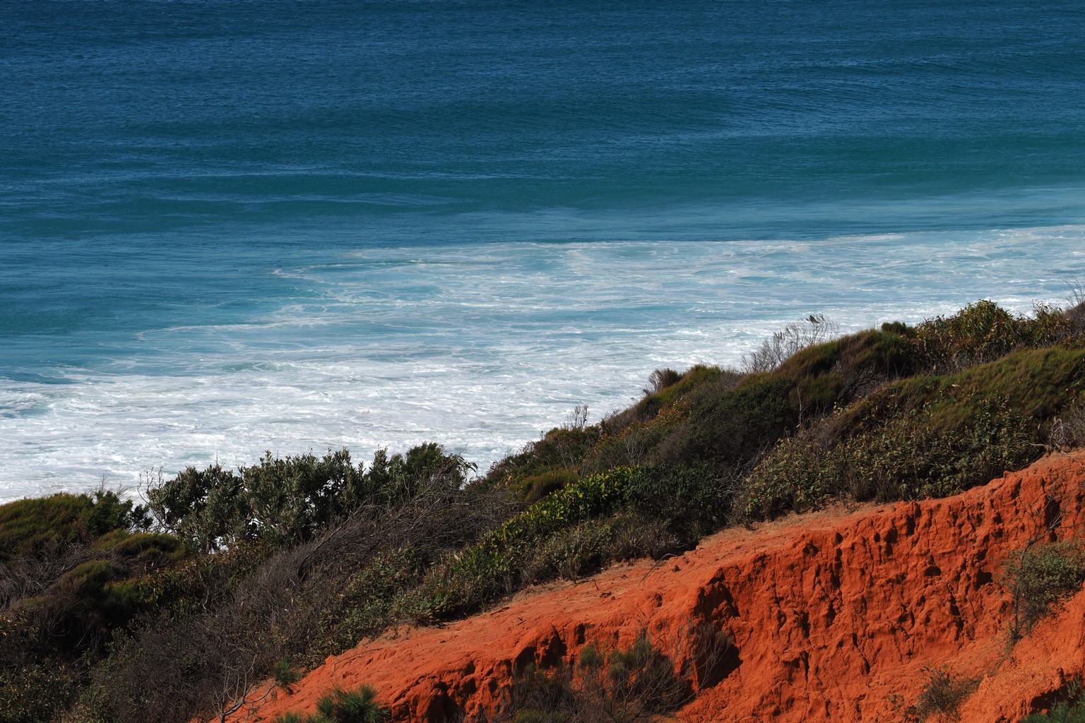
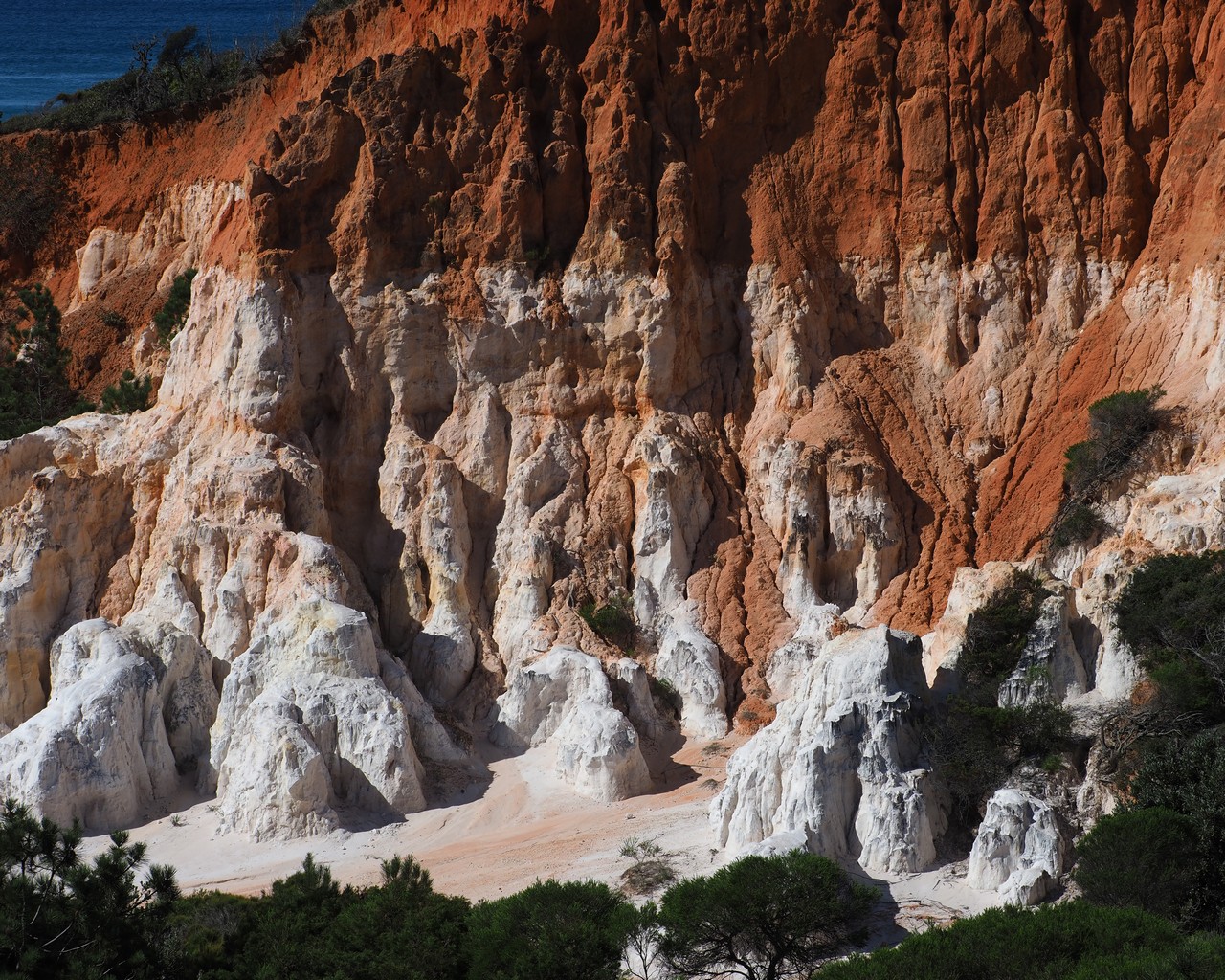
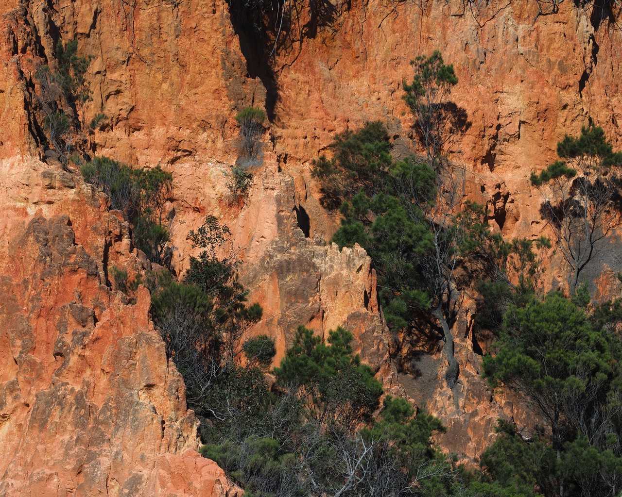
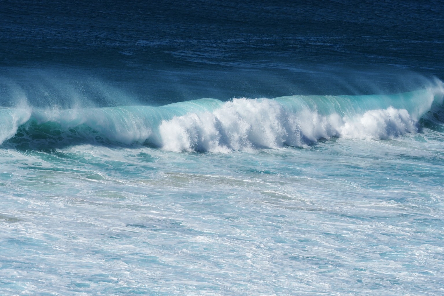
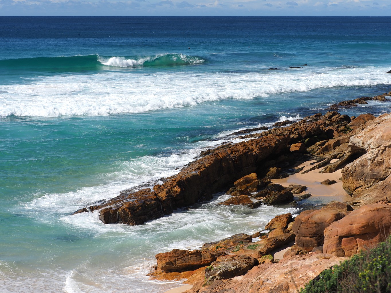
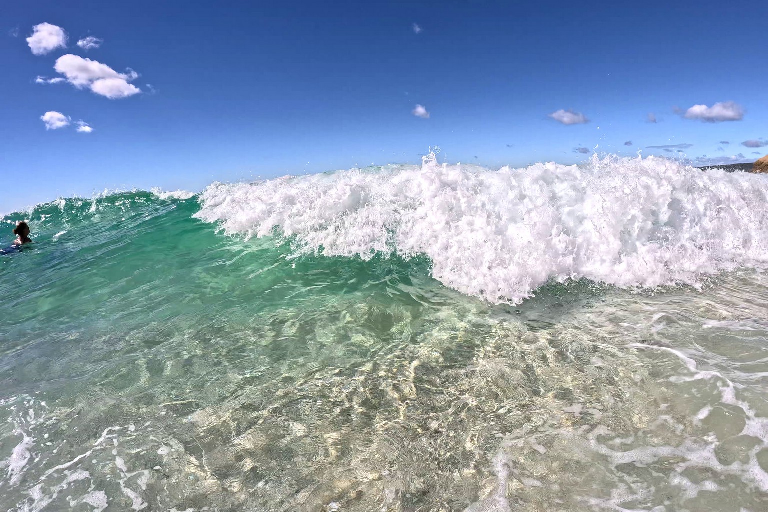
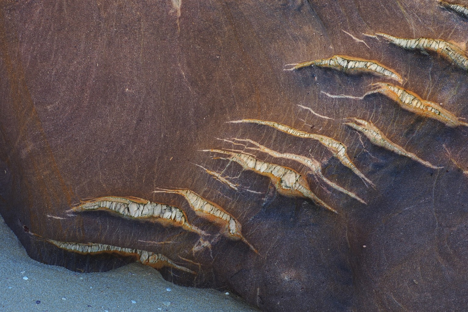
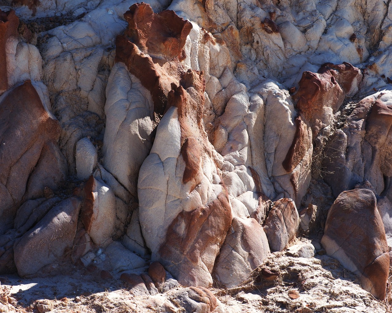
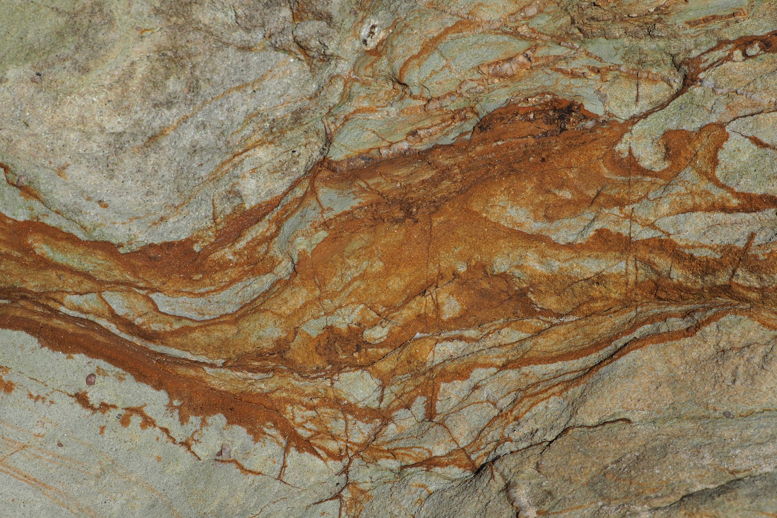
Quoraburagun Pinnacles and Quondolo Beach, Ben Boyd National Park between Pambula and Eden.
From here, we headed inland to the Kosciusko National Park.
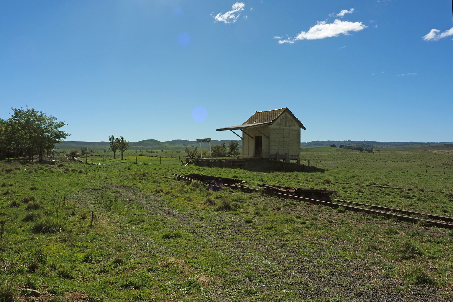
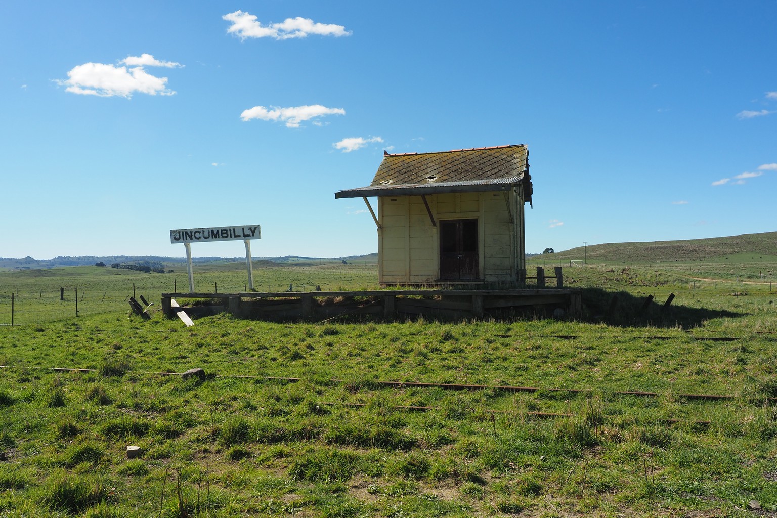
Abandoned railway building at Jincumbilly.
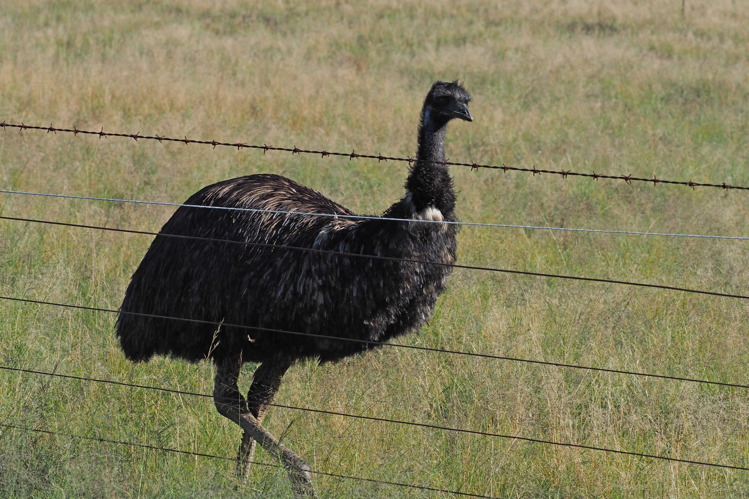
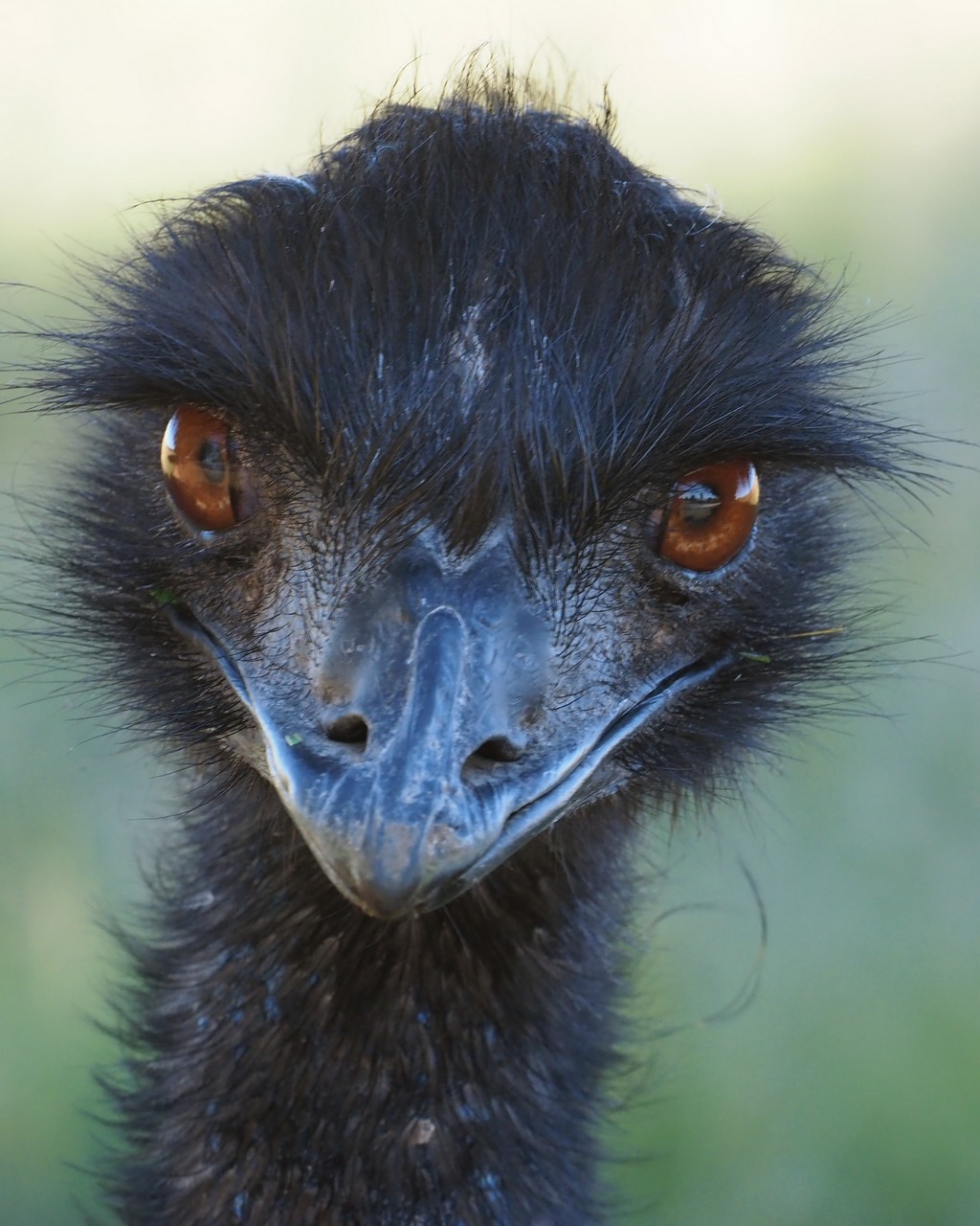
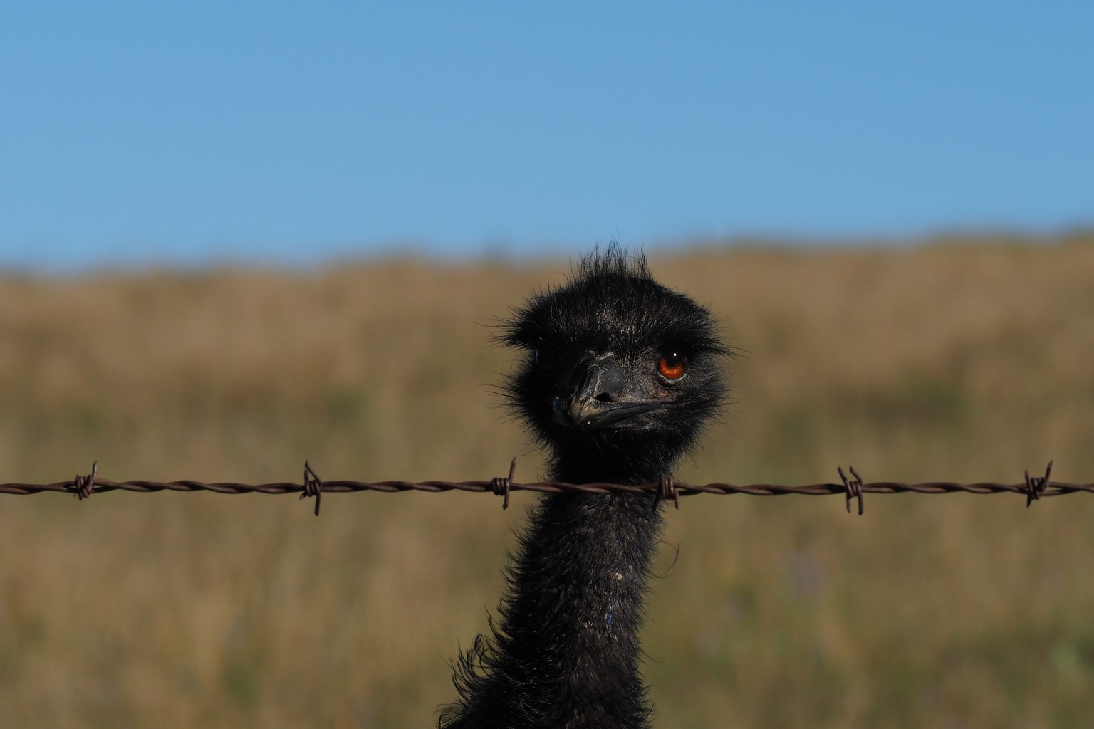
A curious emu at Berridale.
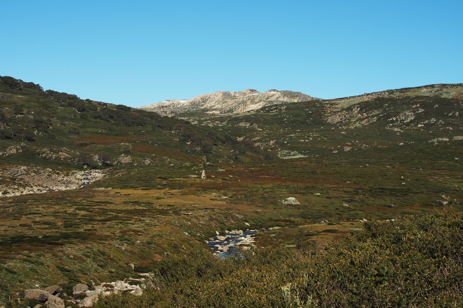
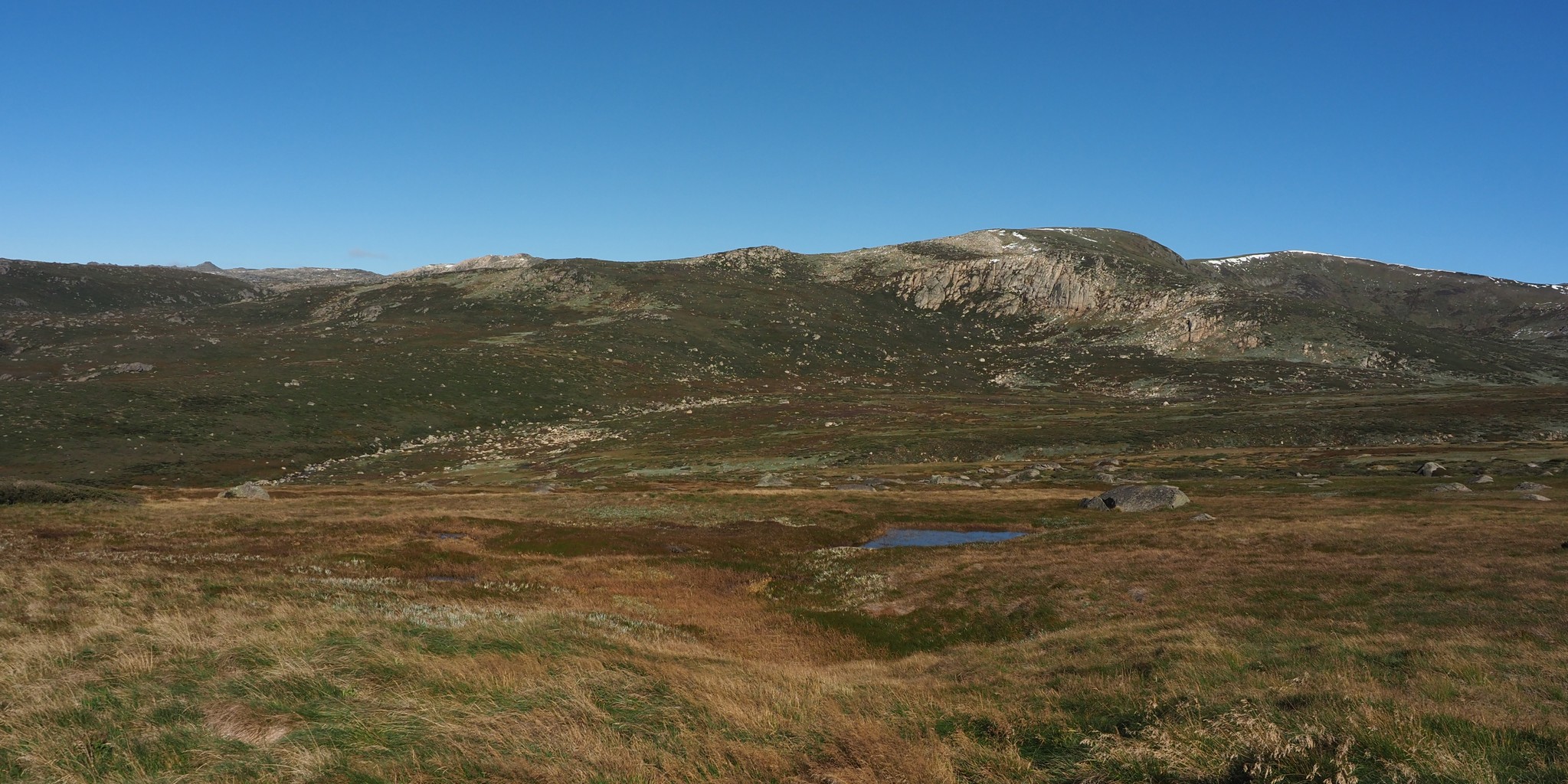
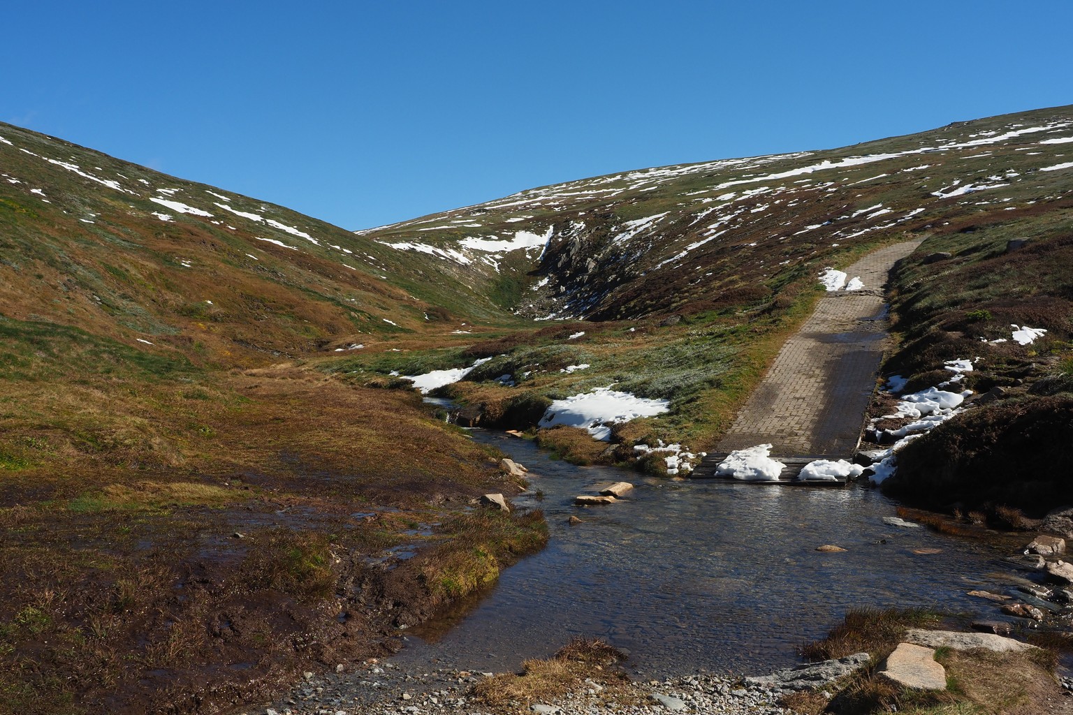
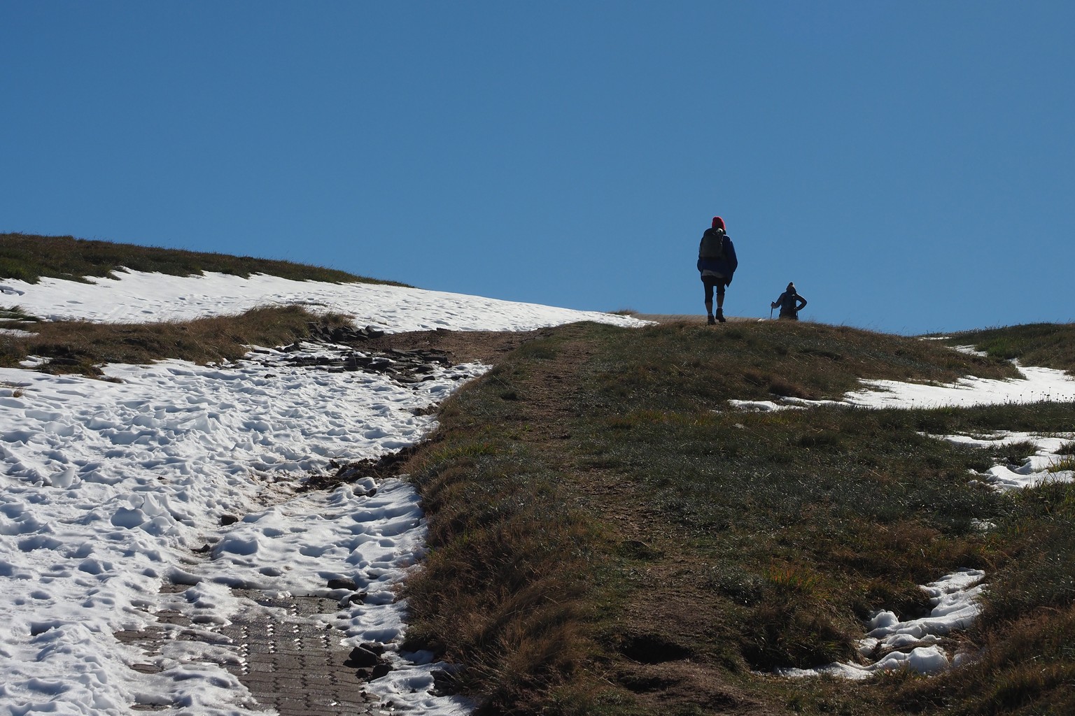
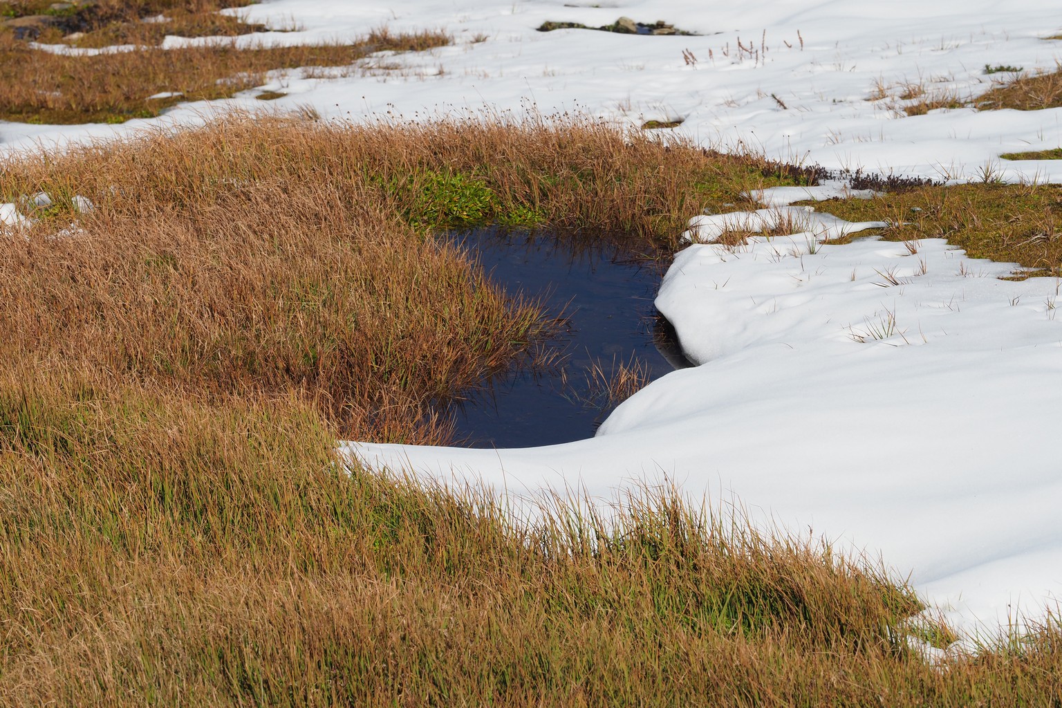
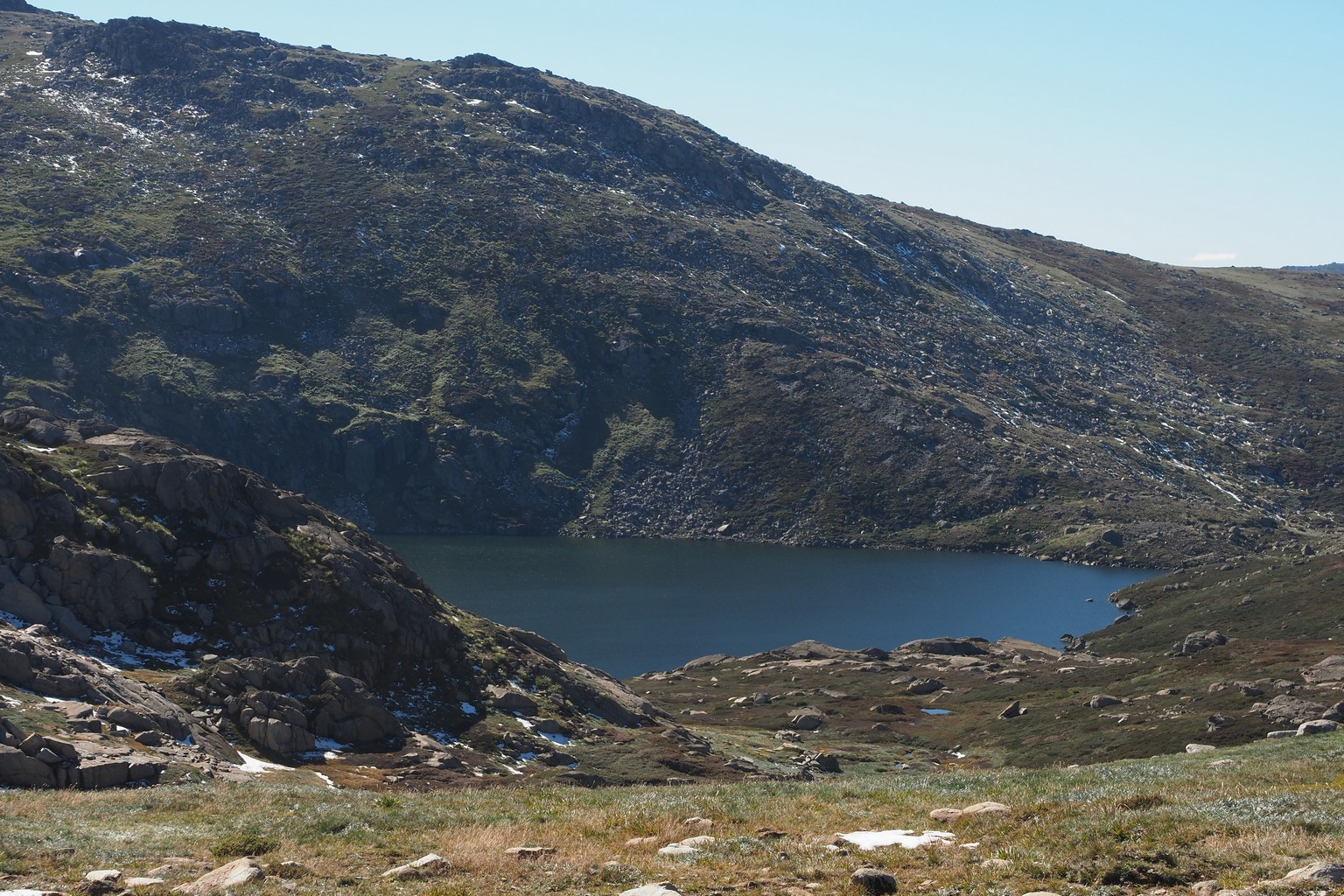
From Charlotte Pass to Blue Lake. I think that Mount Kosciusko is the distant high point in the top left image, above the fireplace of some abandoned shepherd’s hut.
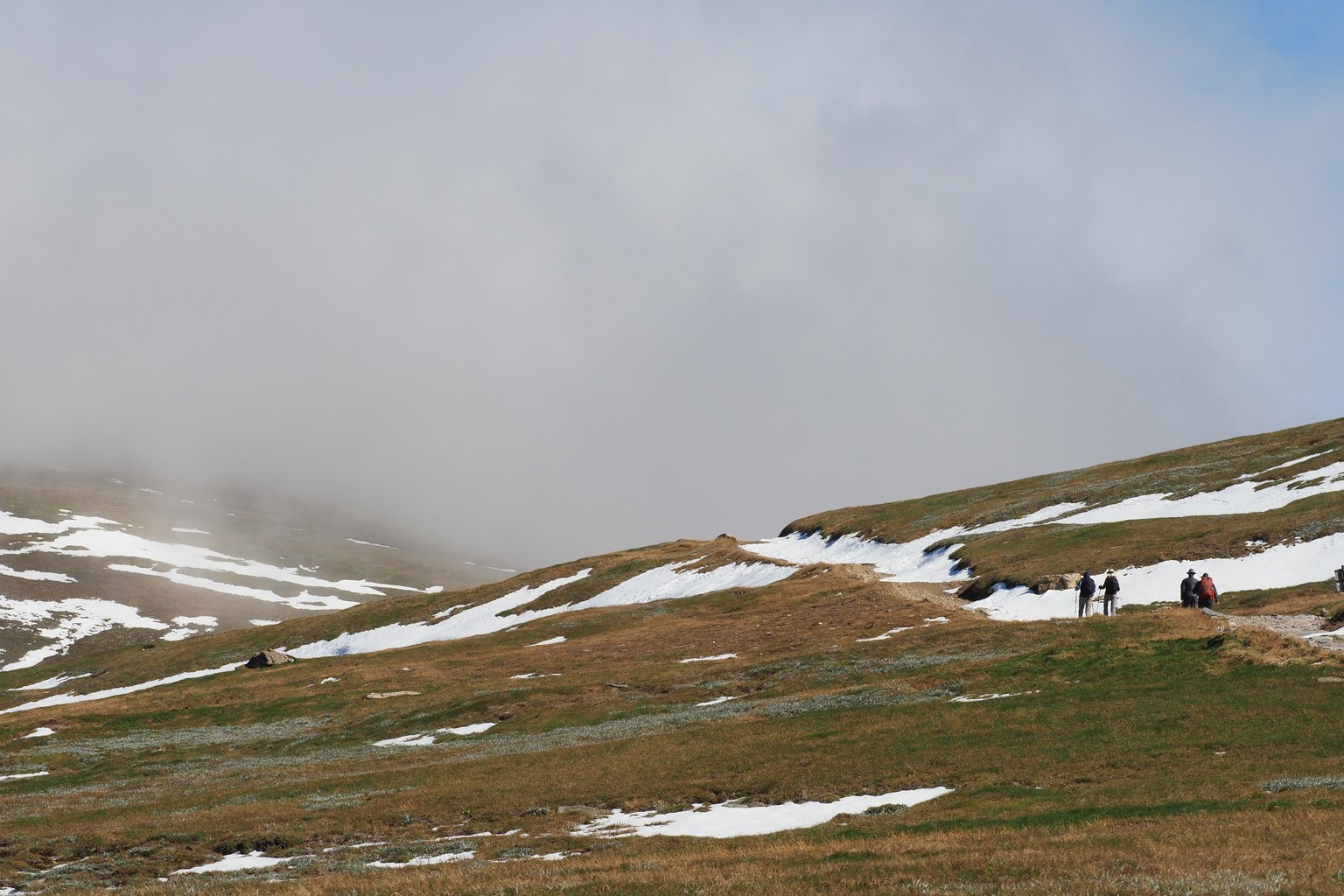
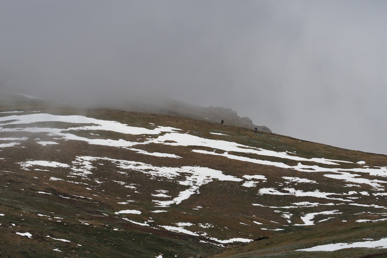
With the cloud rolling in, we weren’t tempted to complete the loop up to Kosciusko.
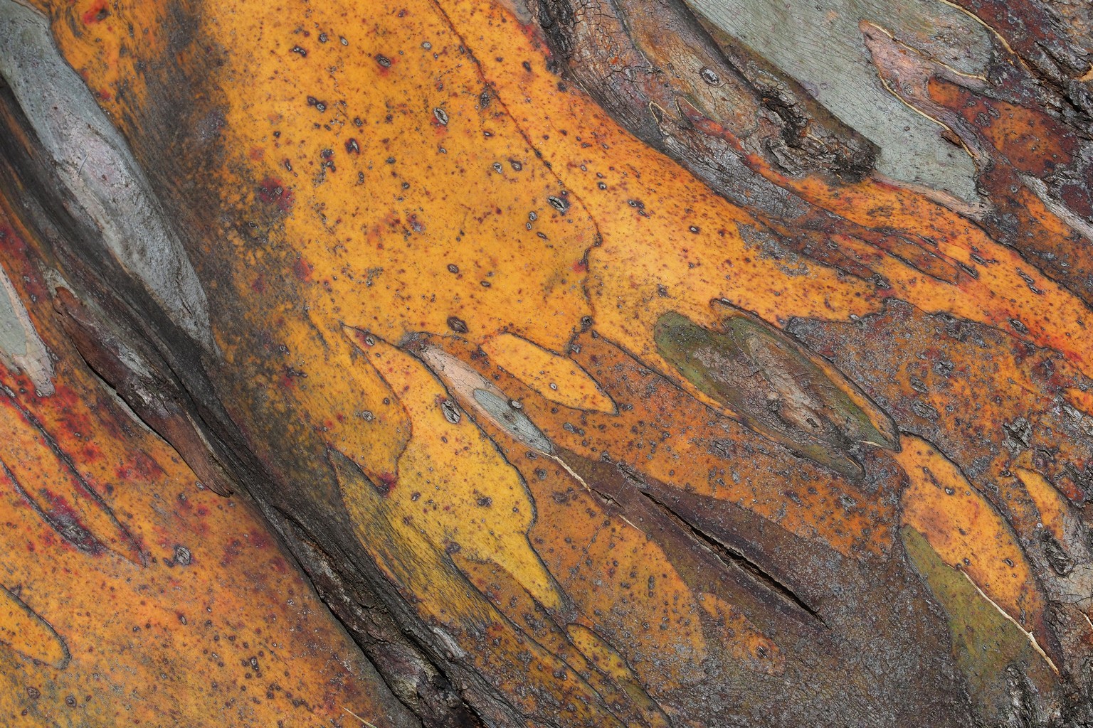
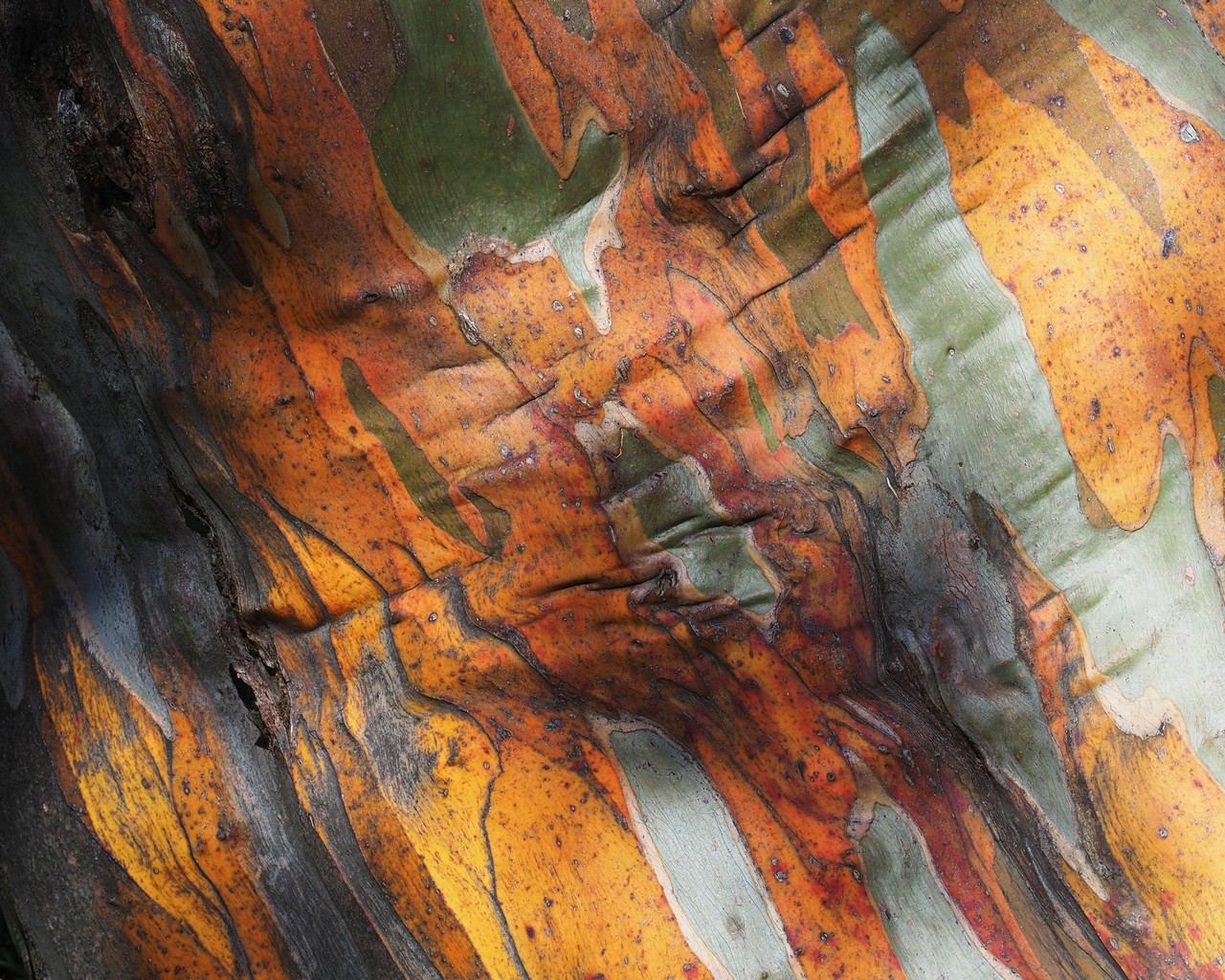
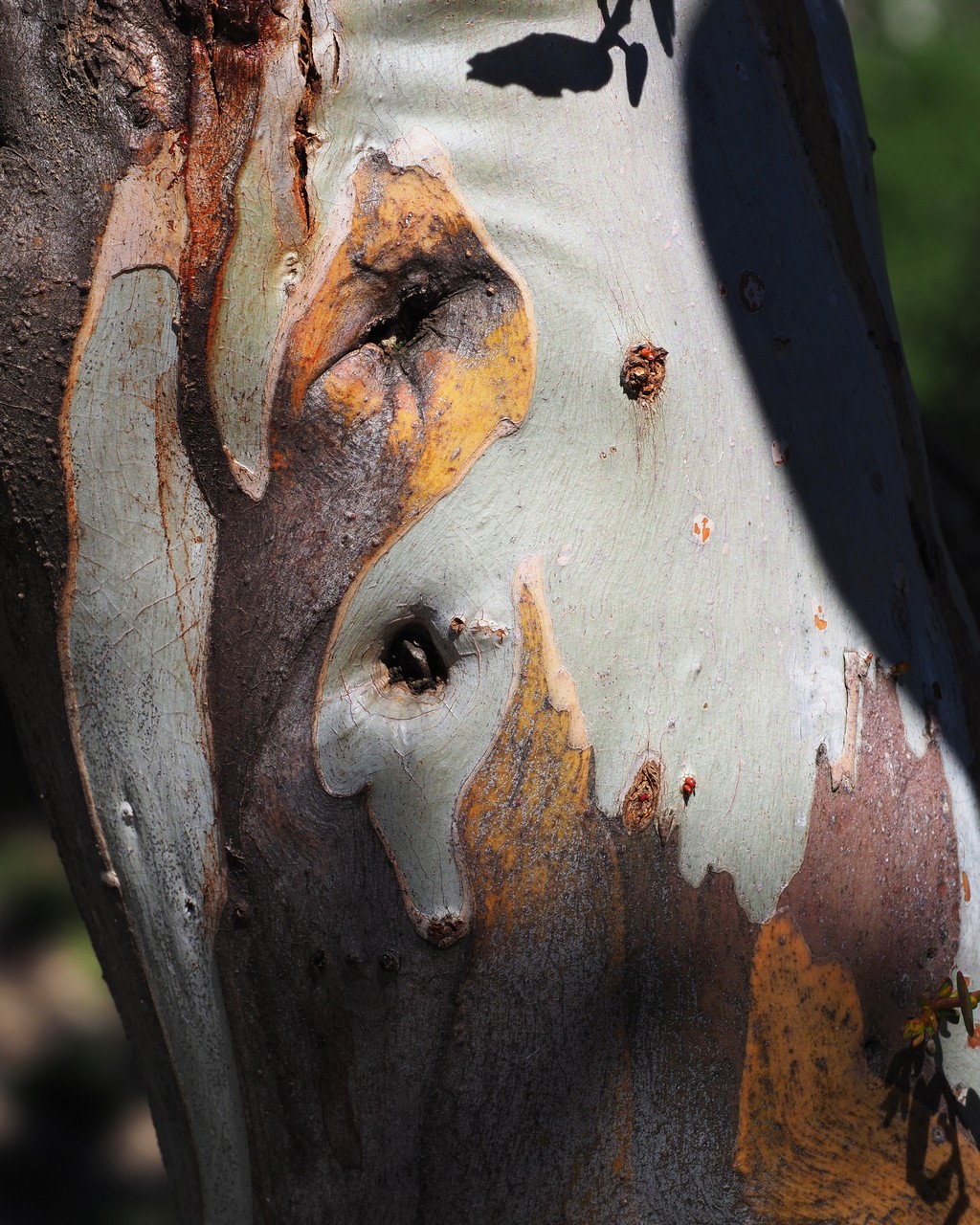
Eucalypt tree trunks at Charlotte Pass.
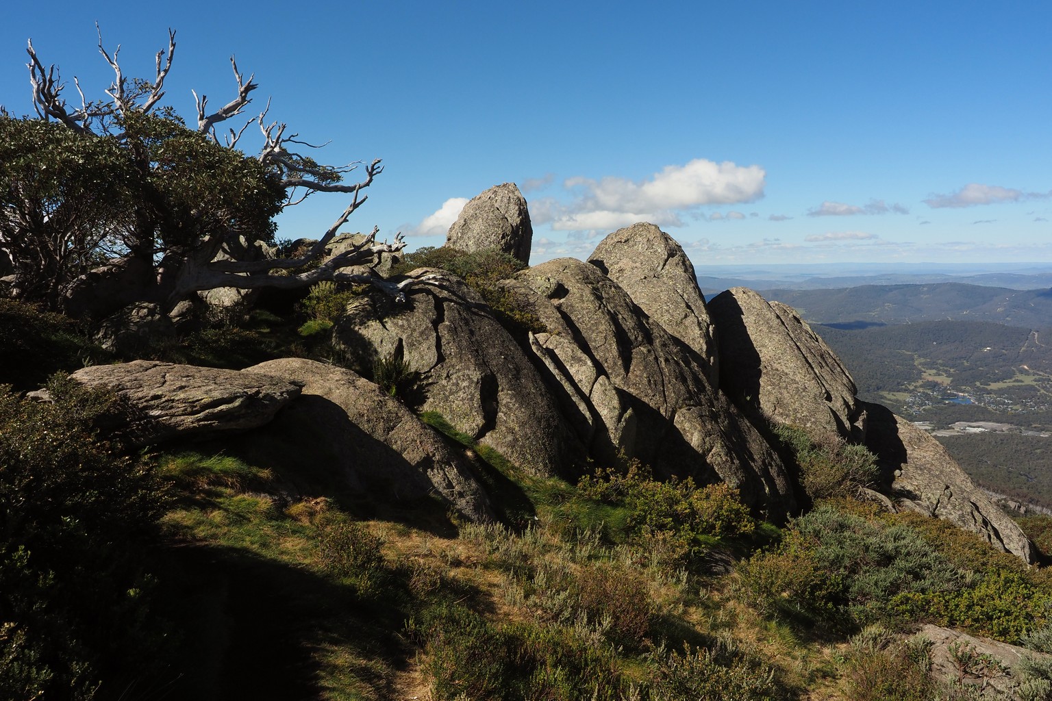
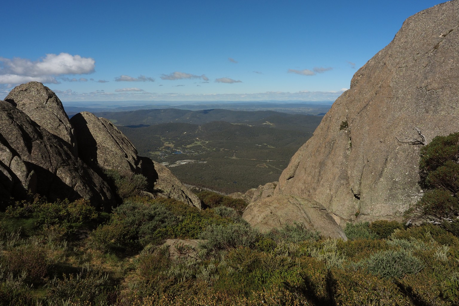
Porcupine Rocks, overlooking Perisher valley.
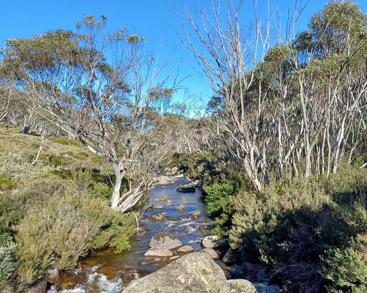
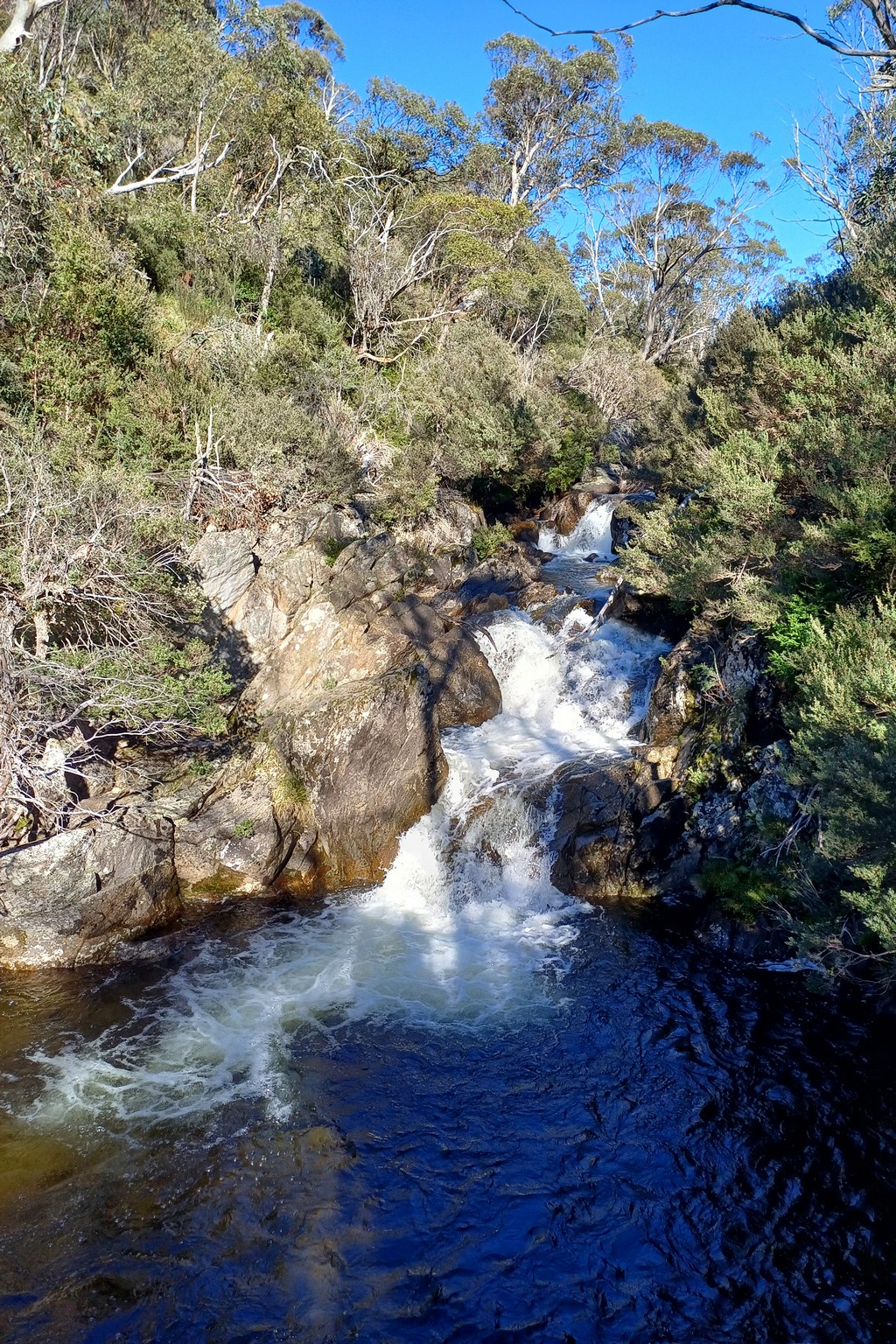
This was a long day, travelling from Jindabyne across the dividing range into northern Victoria. At Dead Horse Gap, we walked down Thredbo Stream to the base of the Thredbo ski-field area.
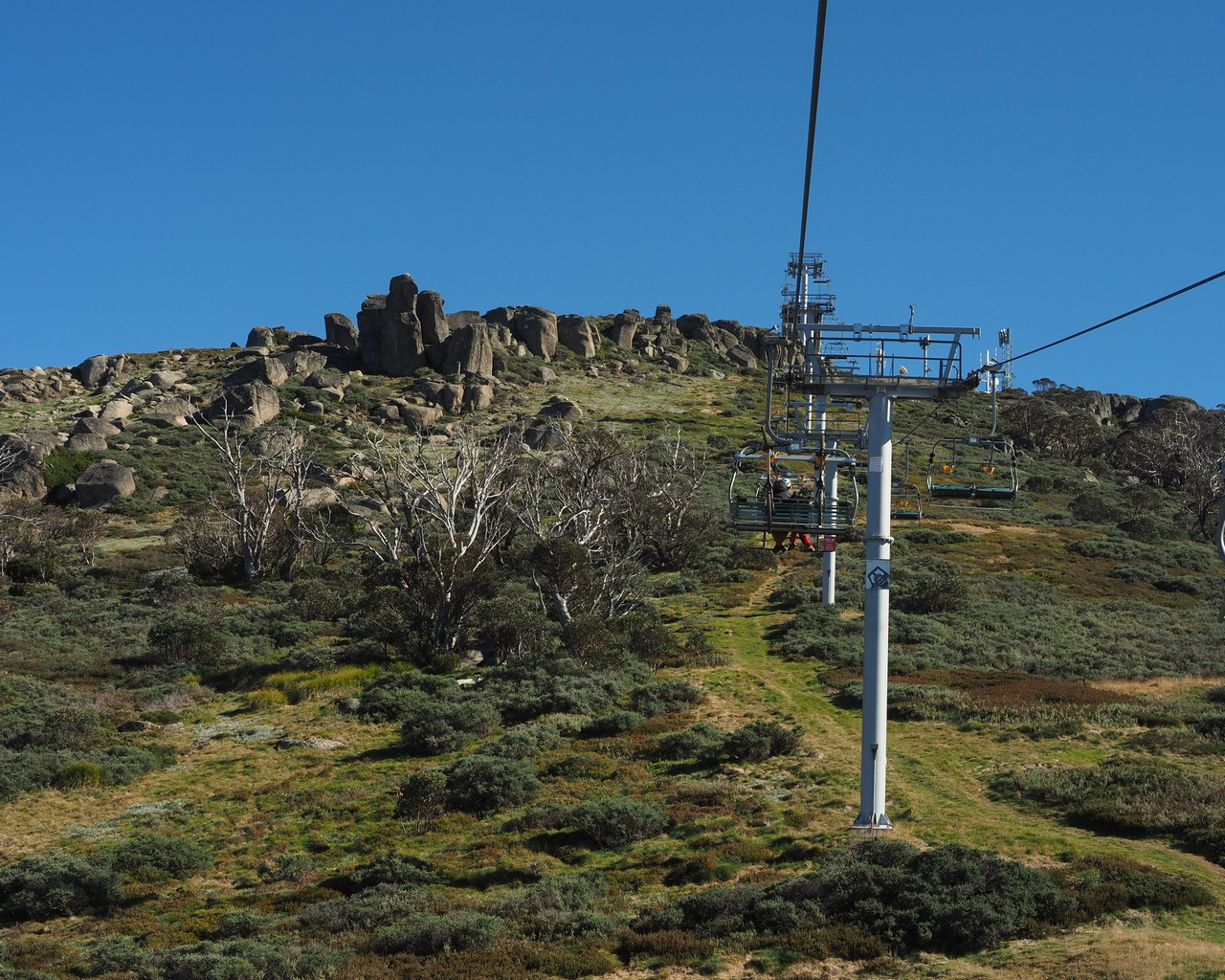
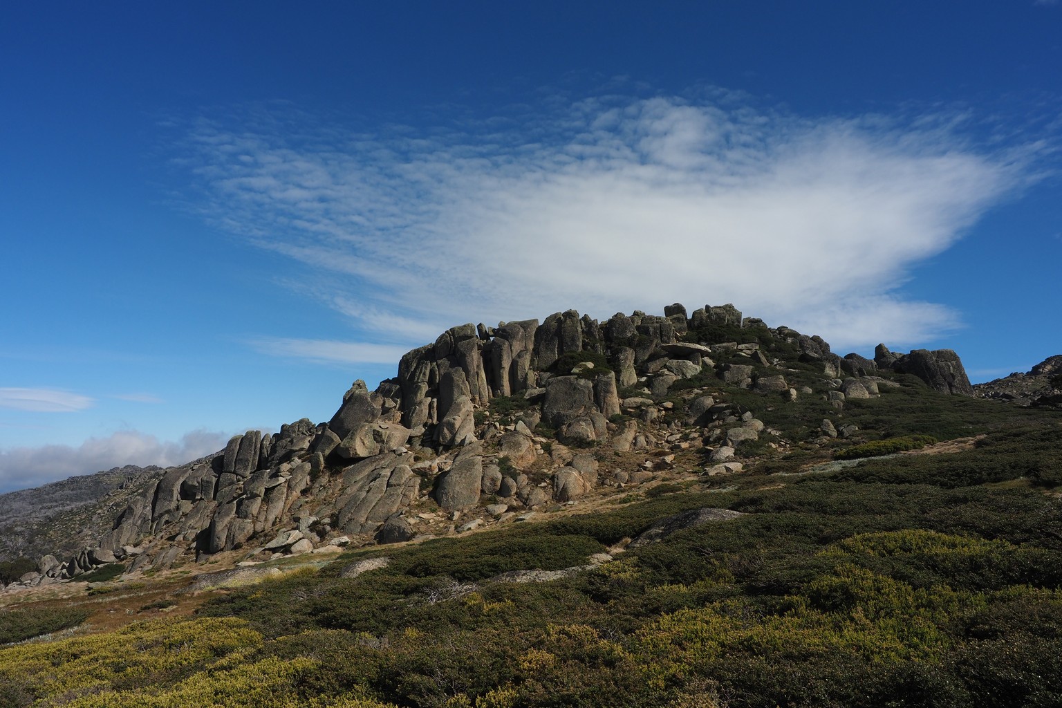
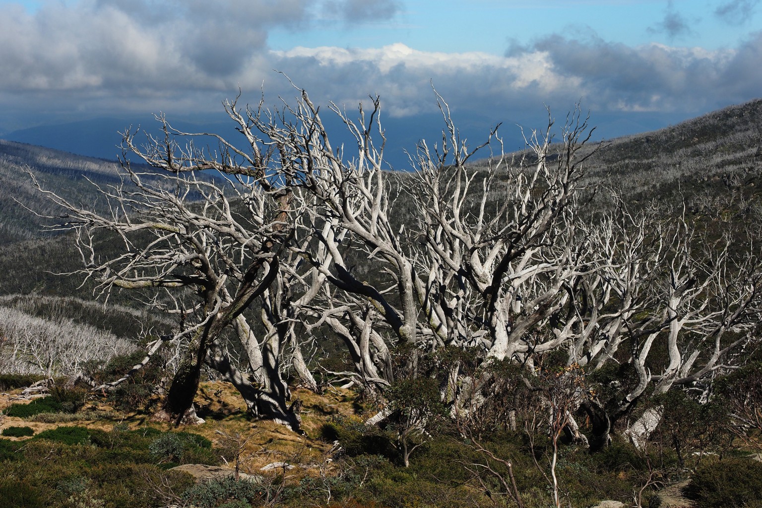
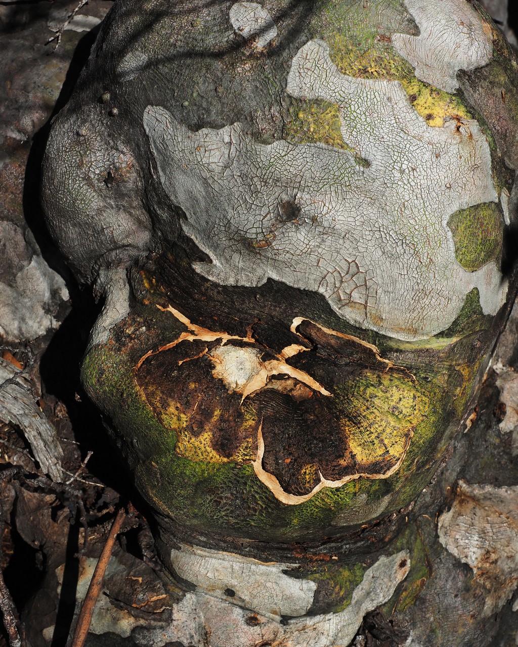
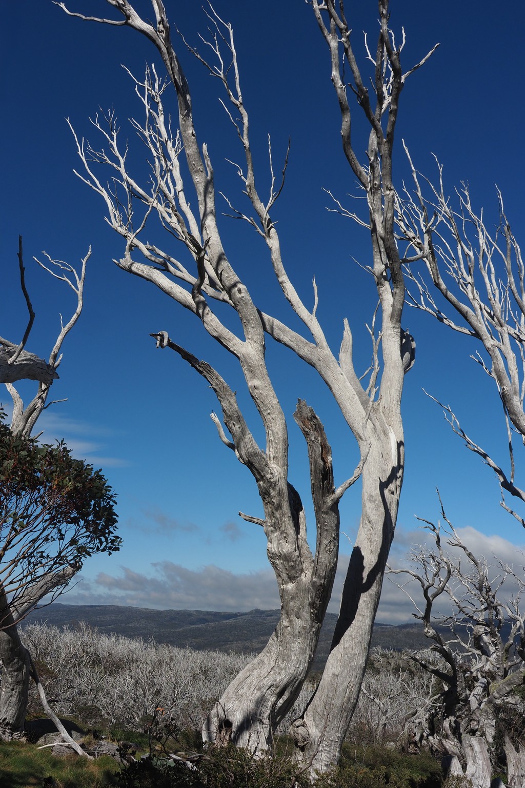
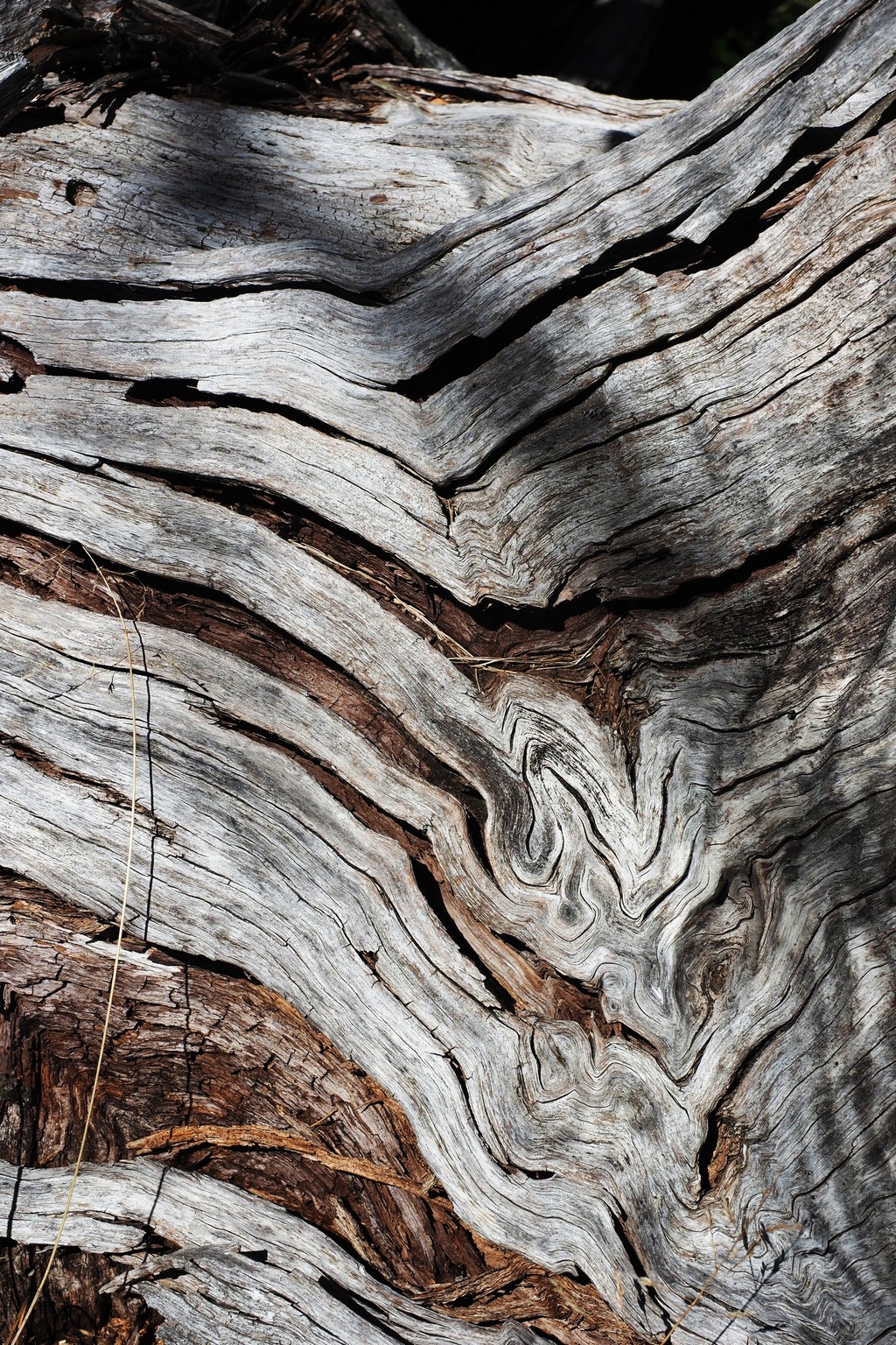
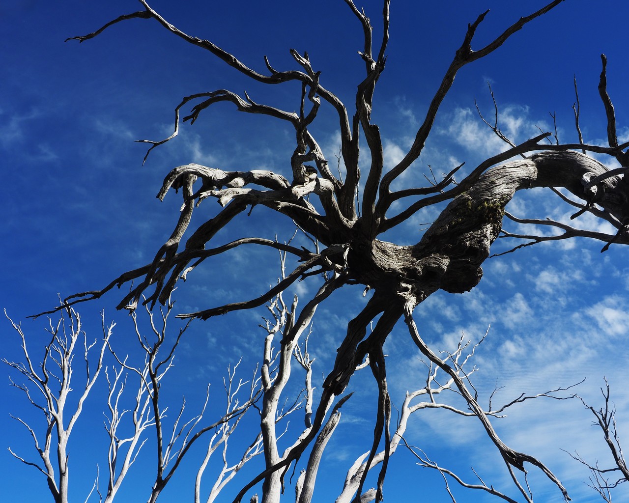
Unusually for us, we rode the chairlift up the mountain to the top of the ski-field area, then walked along the ridgeline and down to Dead Horse Gap. The vast extent of dead snow gums is bizarre; a web search suggests climate stress (hotter, drier conditions) increases susceptibility to attack by wood-boring longicorn beetles.
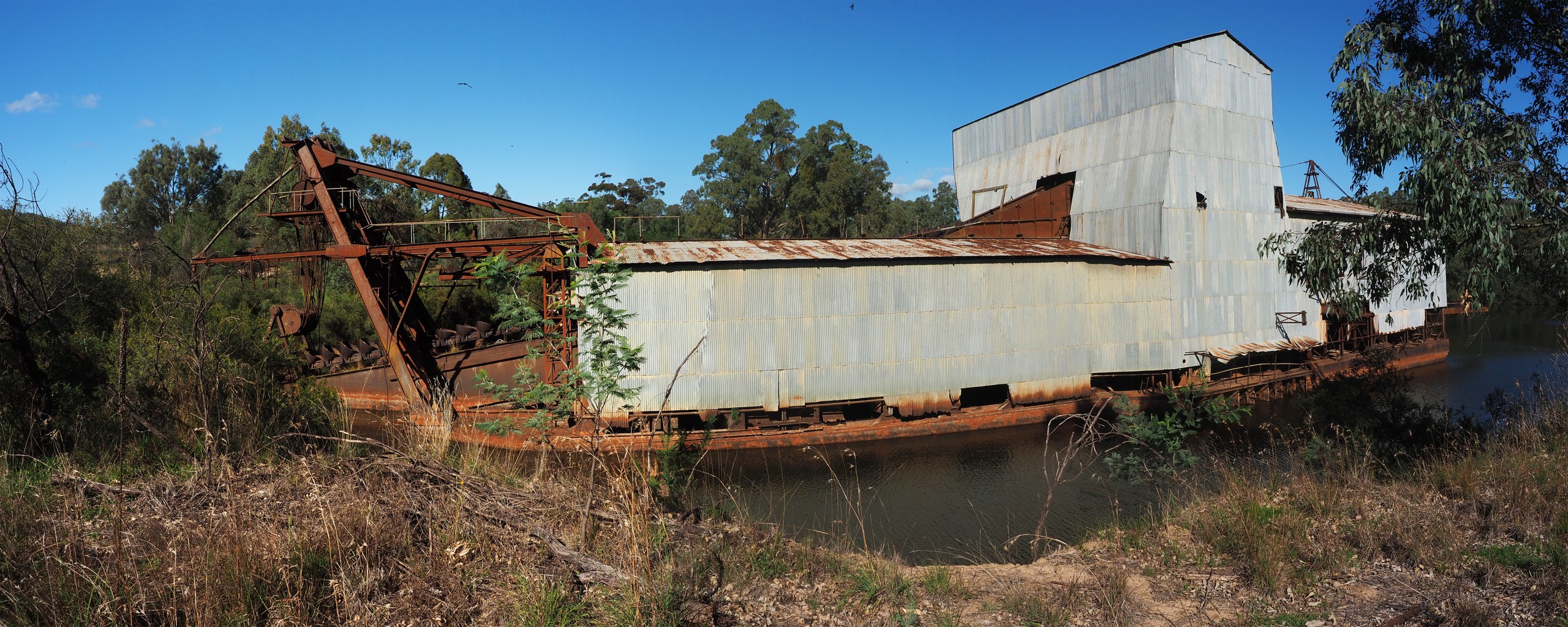
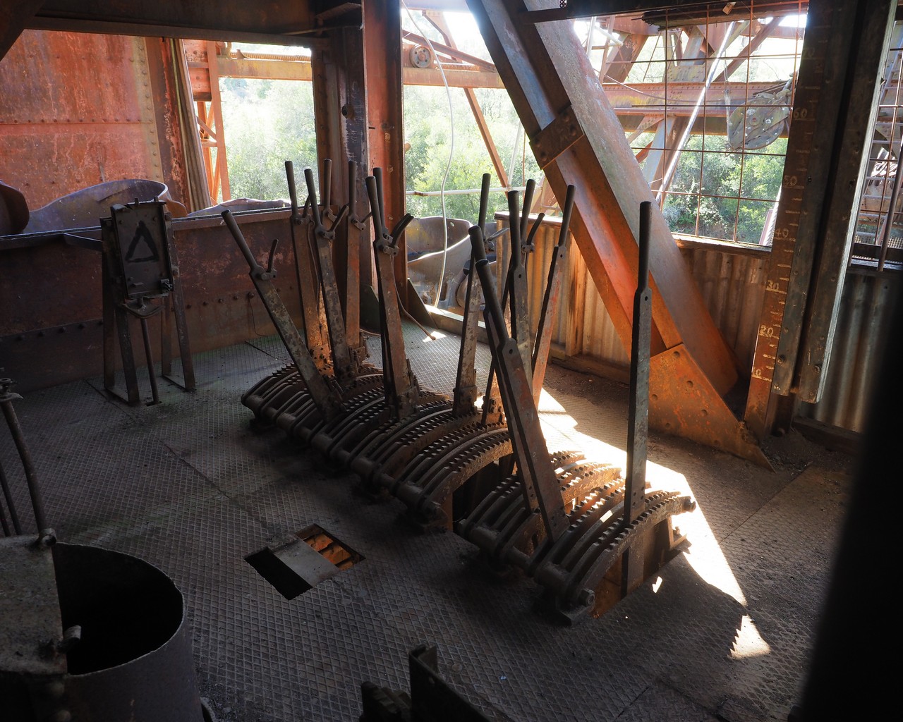
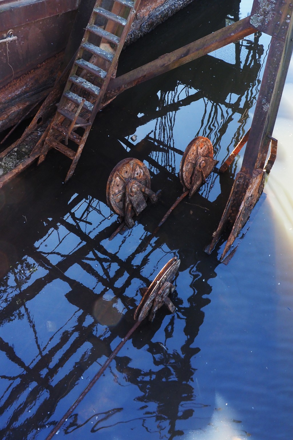
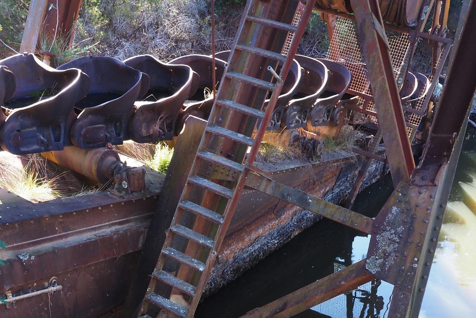
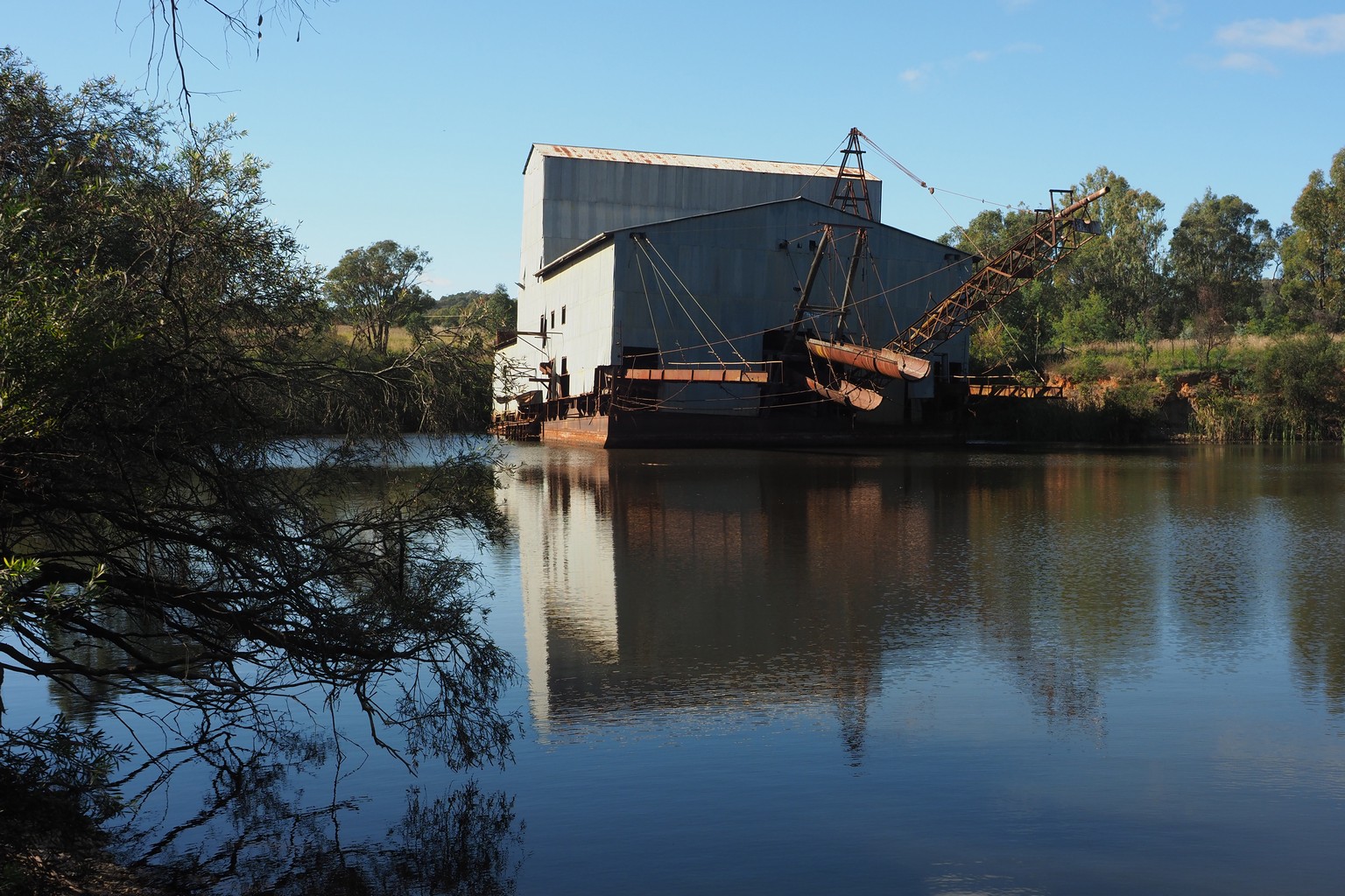
The massive El Dorado gold-mining dredge, abandoned near Milawa, operated from 1936 to 1954.
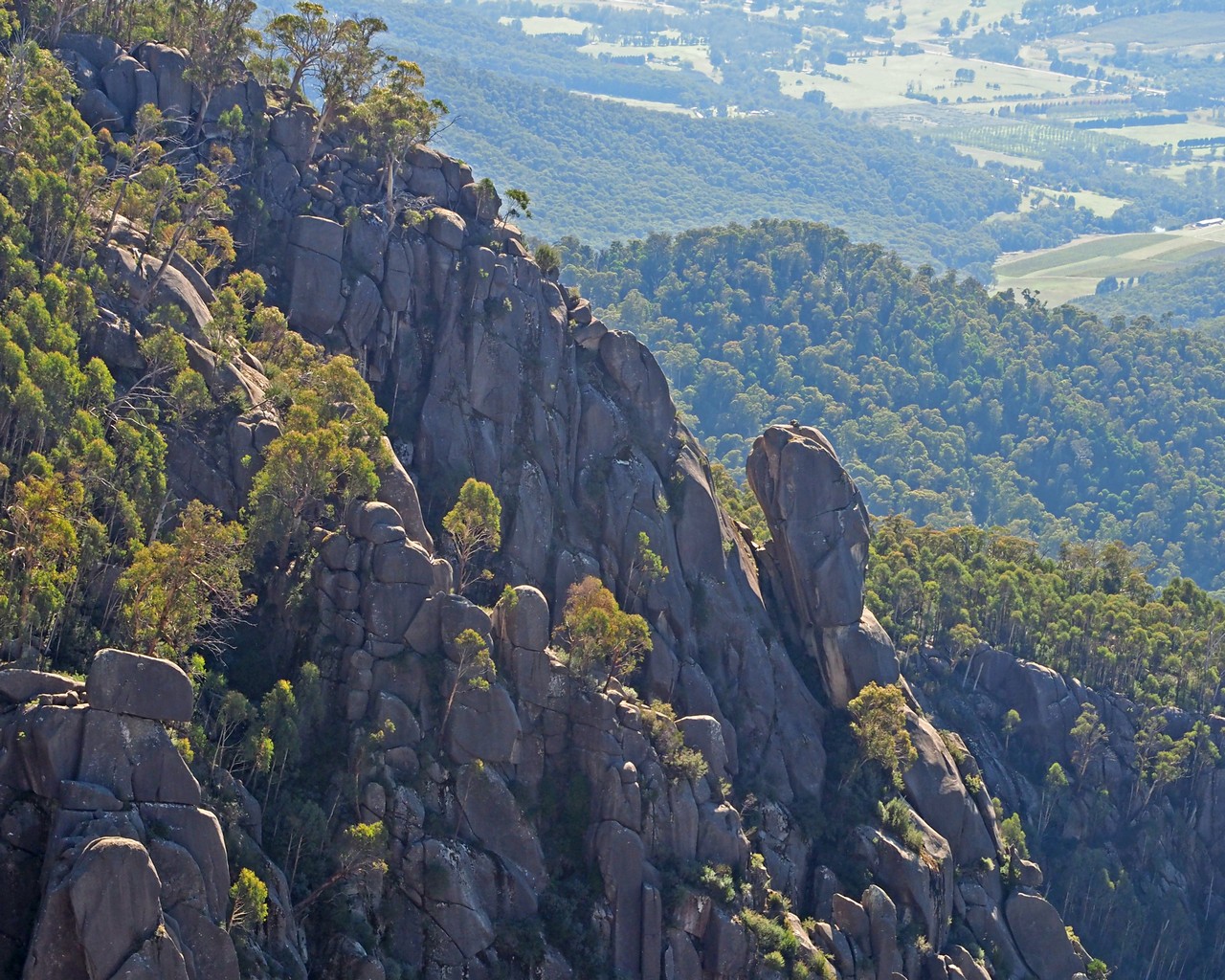
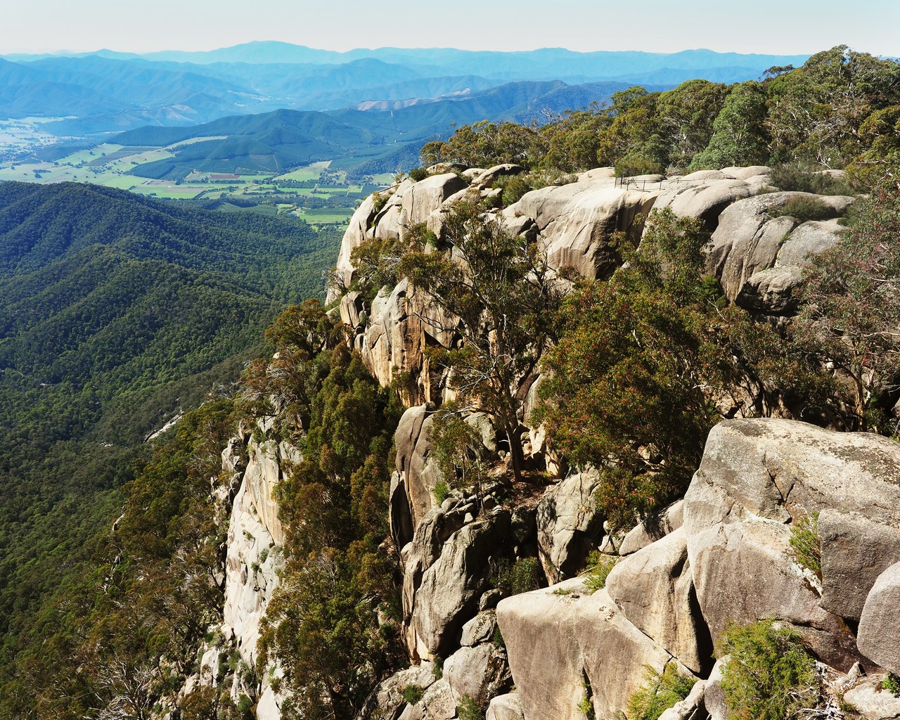
The precipitous flanks of Mount Buffalo, contrasting with a broad plateau with lakes and wetlands on the top of the massif.
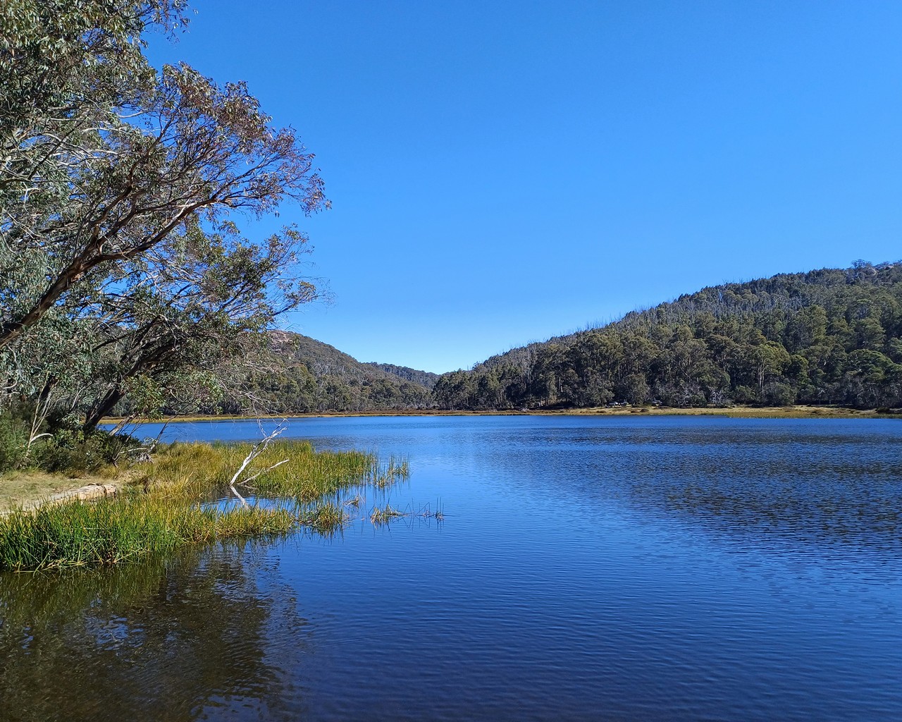
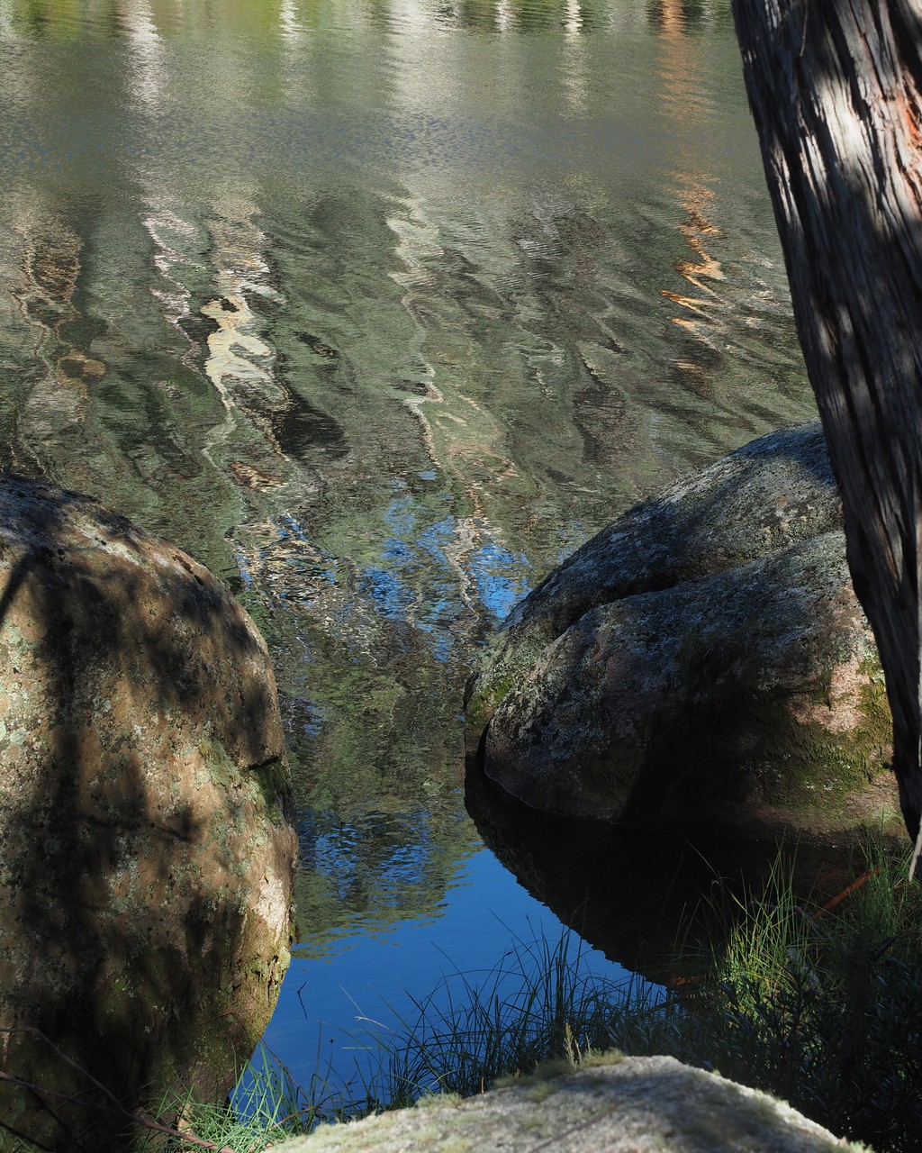
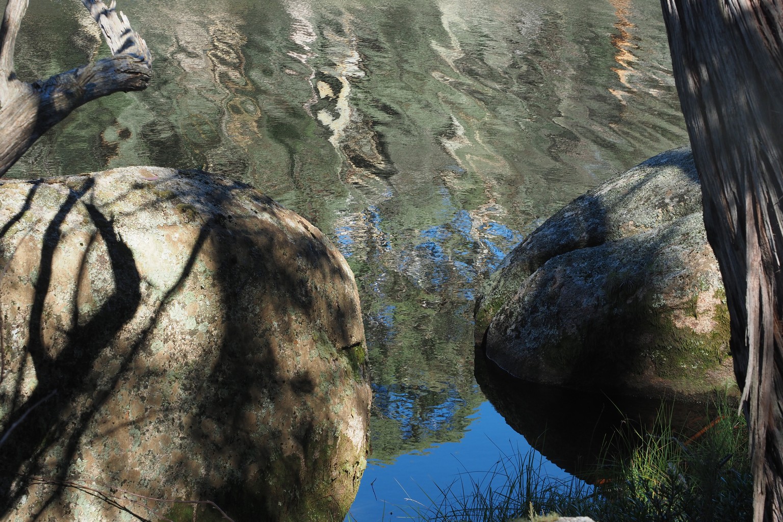
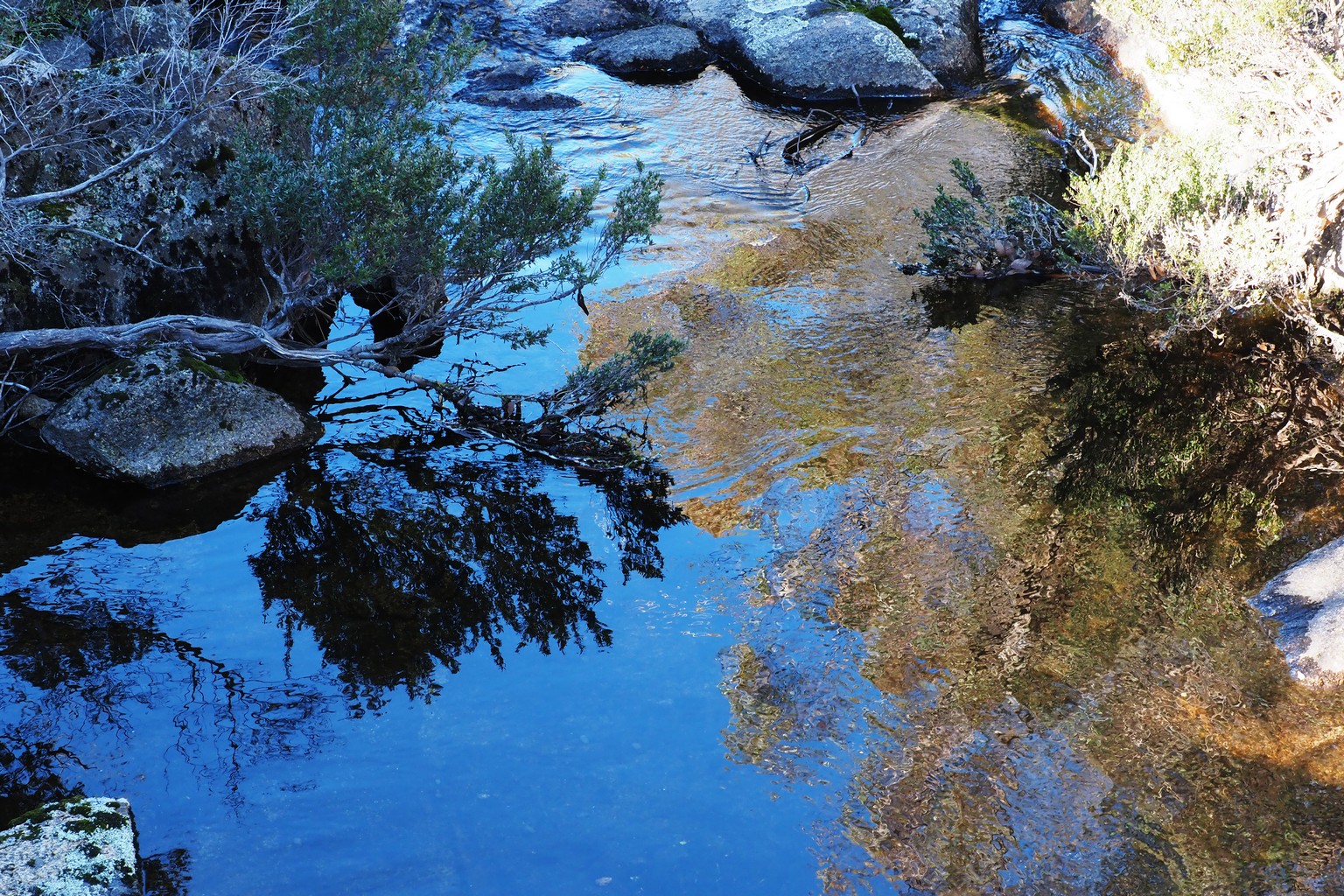
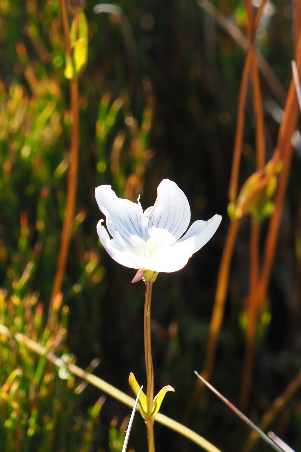
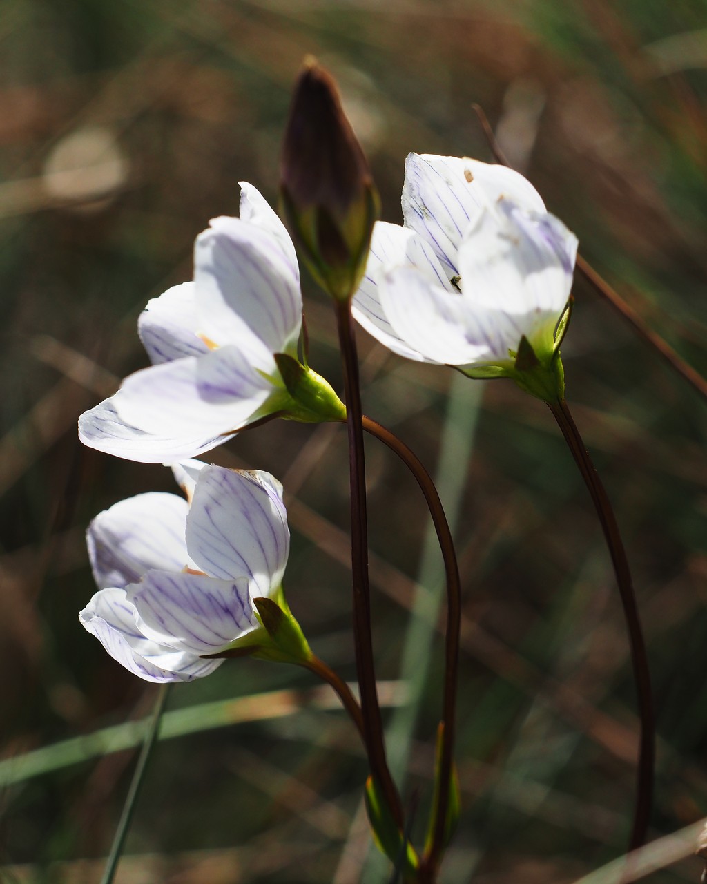
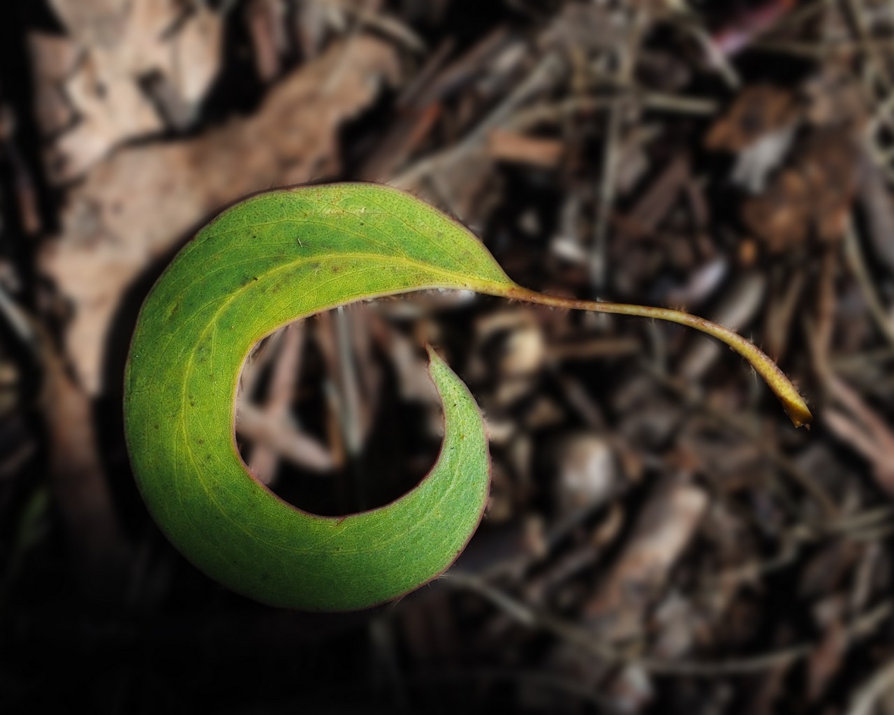
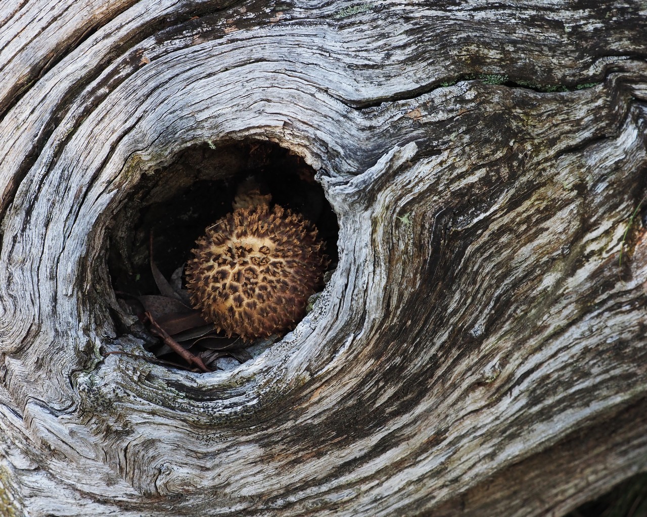
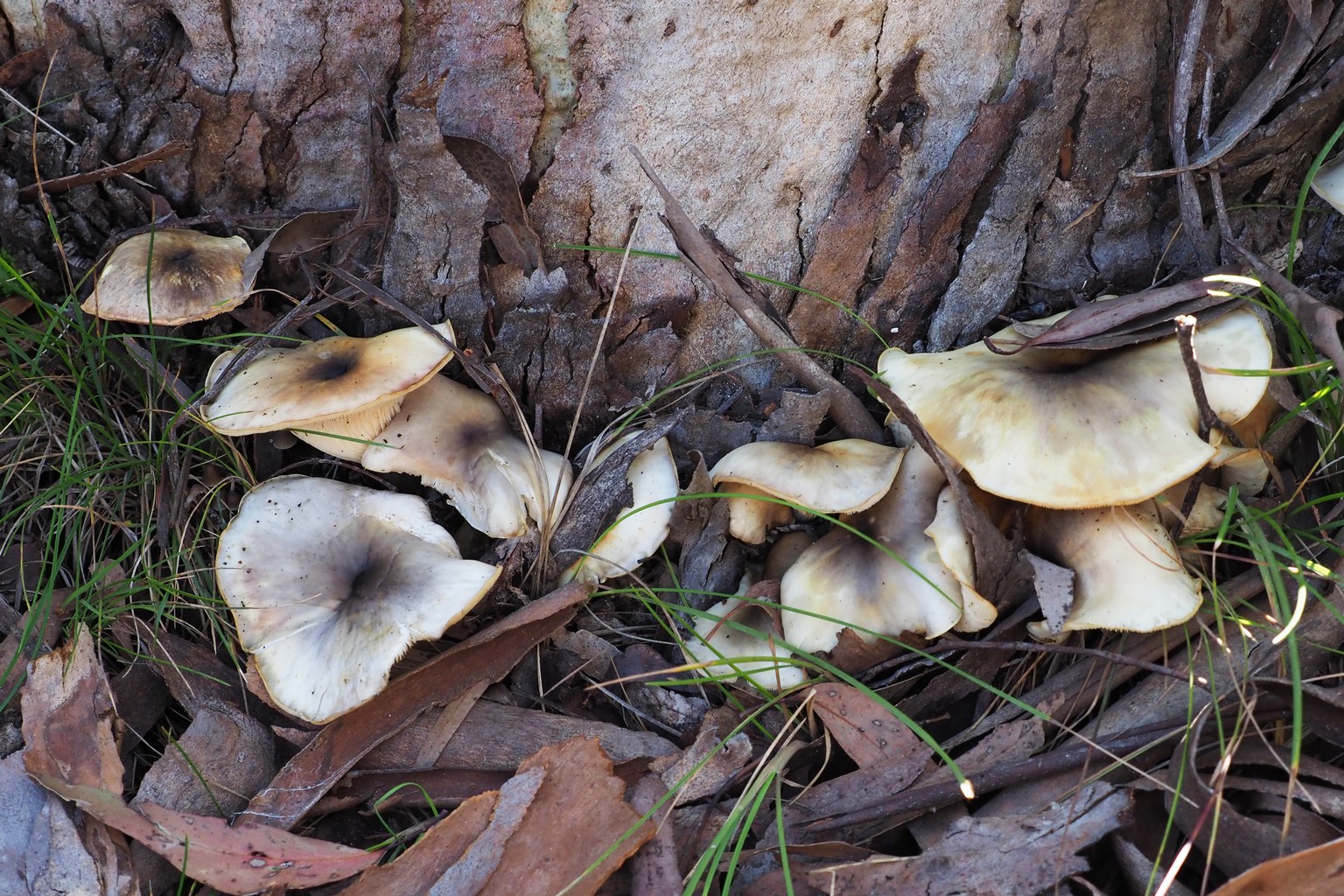
Lake Catani, with wildflowers in the adjacent wetland.
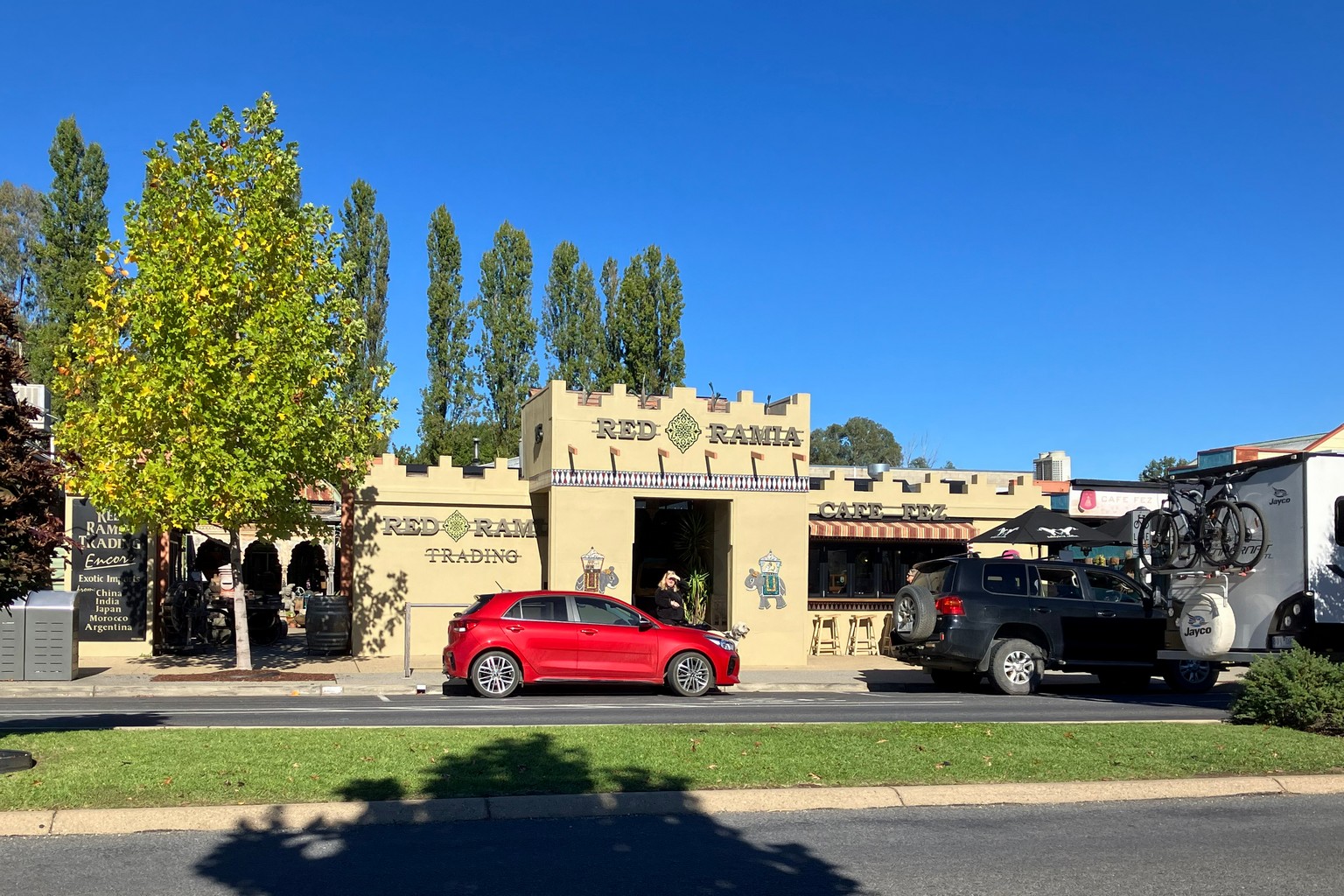
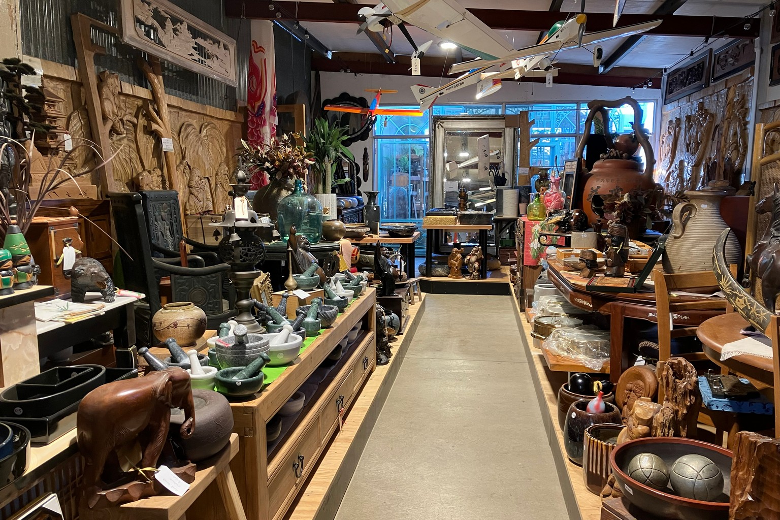
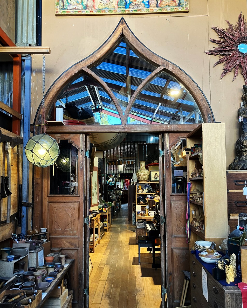
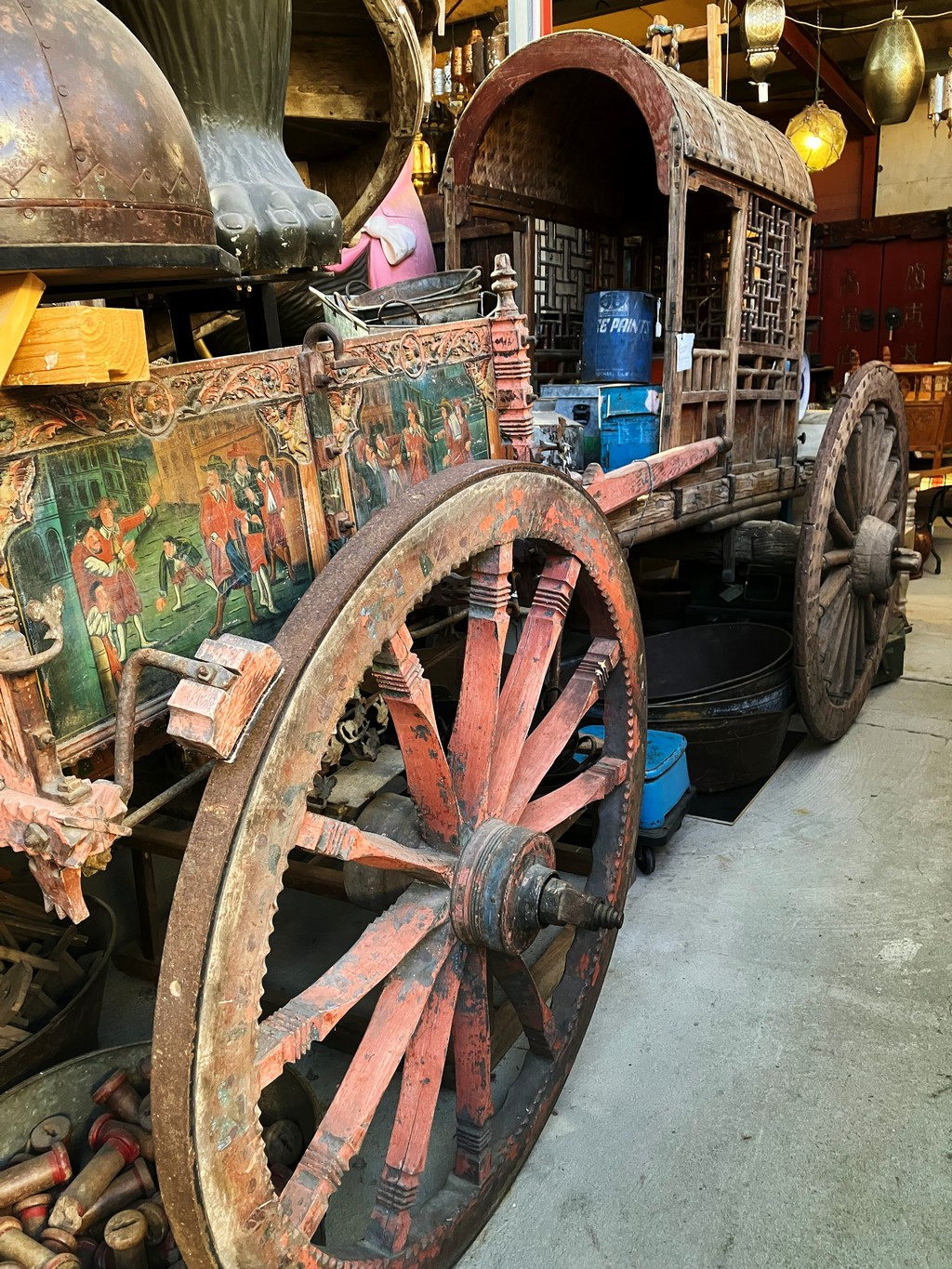
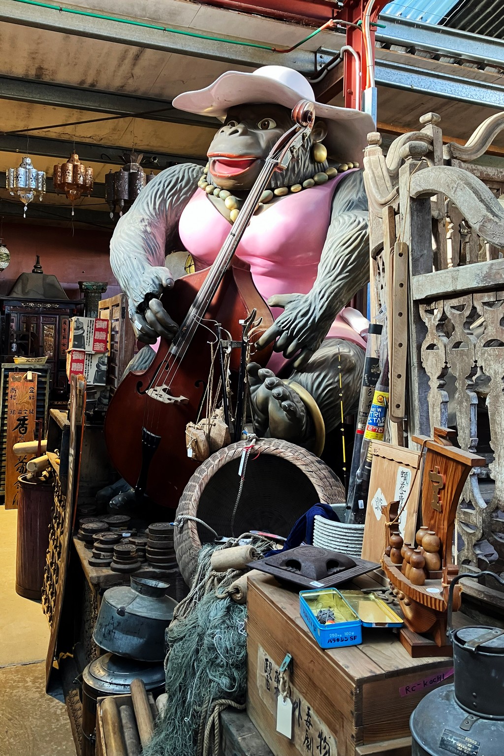
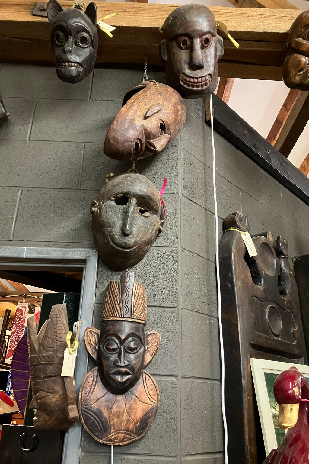
Red Ramia Trading Company at Myrtleford should be one of the major tourist sites in Victoria – it is a most extraordinary collection from India, China, Japan , Africa and no doubt many other places.
And from there down to Melbourne and a flight back home to Wellington.
Many thanks to my old friend Craig Helm for his hospitality at Milawa and for taking us around a wide variety of places in northern Victoria.

